Cape Horn Falls
Skamania County, Washington
Your visit at a glance
- Waterfall height
- 597 ft (182 m)
- Location
- Skamania County, Washington
- Access status
- Guide: Gorge loop to a bridge in front of the falls; seasonal falcon closure
- The walk
- 7.2-mile loop (WTA)
- Ground & access
- Steady climbs and descents; the lower trail is narrow, steep and rocky in places, with talus slopes. About 1,300 feet of climbing.
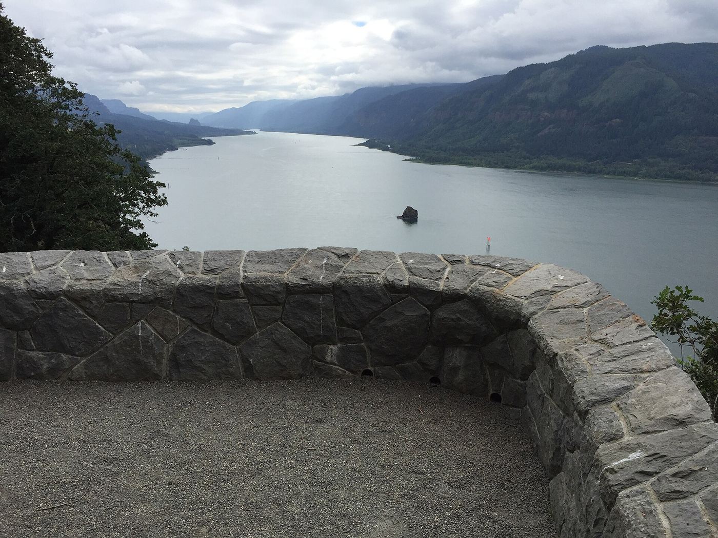
Photo credit
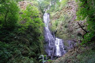
Photo: U.S. Forest Service- Pacific Northwest Region, Public domain, via Wikimedia CommonsCape Horn Falls is a seasonal, multi-tiered waterfall that drops off the Cape Horn cliffs toward the Columbia River. The Cape Horn Trail starts on the west side of Salmon Falls Road, opposite the Park and Ride. Climb over the top of Cape Horn, then descend 1.2 miles of switchbacks, cross the Bootlegger Bridge and go through the pedestrian underpass beneath Highway 14. Pass Cape Horn Waterfall Overlook and Oak View Overlook, then switchback down and follow the narrow, rocky trail east through two talus slopes to a bridge in front of Cape Horn Falls. Continue east to paved Cape Horn Road and walk 1.3 miles uphill back to the trail sign and underpass. The lower trail beyond Oak View Overlook closes for much of spring and early summer to protect nesting peregrine falcons; then the falls cannot be reached this way.
Plan your visit
Salmon Falls Park and Ride on Highway 14, Cape Horn Trail loop over the top and down to the lower trail, to the bridge in front of Cape Horn Falls, then back via Cape Horn Road
WTA gives 7.2 miles for the full loop. The falls are on the lower part of the loop, beyond Oak View Overlook.
Steady climbs and descents; the lower trail is narrow, steep and rocky in places, with talus slopes. About 1,300 feet of climbing.
Where to start
Skamania County Public Transit Park and Ride at Highway 14 and Salmon Falls Road (milepost 26.4). WTA says no Forest Pass is needed there. Parking is not allowed on the roads next to the trailhead.
Timing & water
The falls flow mainly from autumn to late spring. The lower trail past Oak View Overlook closes each year for much of spring and early summer for nesting peregrine falcons.
Before you go
WTA lists no parking pass for the Park and Ride. No booking is needed.
Visitor informationVisit sources
More waterfalls nearby
Within 40 straight-line miles. Road and trail distances will differ.
- Belle Center FallsSkamania County, WA1.1 miSW
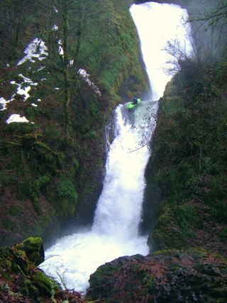 Bridal Veil FallsResearched visit notes118 ft (36 m) · Multnomah County, OR1.4 miSE
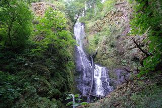 Coopey FallsTrail viewpoint above the falls; the base is on private convent land150 ft (45.7 m) · Multnomah County, OR1.7 miE
 Shepperd's Dell FallsShort paved path from a roadside pullout82 ft (25 m) · Multnomah County, OR1.7 miS
 Upper Coopey FallsShort climb on the Angels Rest Trail and side path to the baseMultnomah County, OR1.8 miE
- Upper Bridal Veil Falls80 ft (24.4 m) · Multnomah County, OR2.2 miSE
- Foxglove FallsMultnomah County, OR2.3 miE
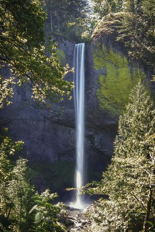 Latourell FallsResearched visit notes224 ft lower falls · Multnomah County, OR2.6 miSW
- Dalton FallsPartial guide: distant pond-shore view; identity as the historic Dalton Falls is uncertainMultnomah County, OR3.0 miE