Shepperd's Dell Falls
Multnomah County, Oregon
Your visit at a glance
- Waterfall height
- 82 ft (25 m)
- Location
- Multnomah County, Oregon
- Access status
- Short paved path from a roadside pullout
- The walk
- 0.2 miles round trip, per Oregon State Parks
- Ground & access
- Short paved path, rough in spots, with a few stairs at the start, so it is not wheelchair accessible. A little poison oak near the highway.
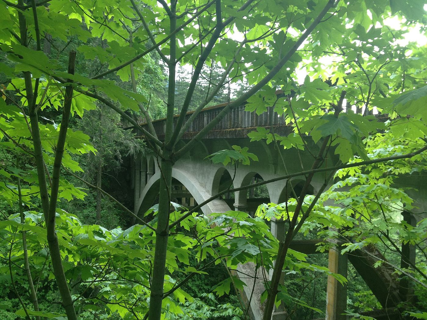
Photo credit
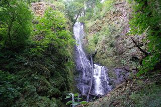
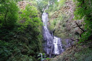
Photo: Glenn Scofield Williams from Portland, Oregon, USA, CC BY 2.0, via Wikimedia CommonsShepperd's Dell Falls is a series of drops on Young Creek totaling about 220 feet, with the main visible tiers above the 1914 highway bridge. Park in the pullouts on either side of the Historic Highway. A short paved path, cut from the cliff and protected by a stone wall, starts with a few stairs and leads to an overlook of the lower tier. Walk across the bridge on both sides for more views, including straight down the creek. Return the same way.
Plan your visit
Shepperd's Dell pullouts on the Historic Columbia River Highway, short paved path to the overlook of the lower falls
Oregon State Parks and Oregon Hikers both give 0.2 miles round trip for the path to the falls.
Short paved path, rough in spots, with a few stairs at the start, so it is not wheelchair accessible. A little poison oak near the highway.
Where to start
Paved pullouts on both sides of the highway, about 11 spaces in all, 1.7 miles east of the Bridal Veil junction (I-84 Exit 28).
Timing & water
Oregon State Parks lists the park as open for day use year round.
Before you go
No fee is mentioned on the Oregon State Parks page for this park.
Visitor informationVisit sources
- Oregon State Parks: Shepperd's Dell State Natural Area
- Oregon State Parks: Shepperd's Dell State Natural Area
- Oregon State Parks: Shepperd's Dell State Natural Area
- Oregon Hikers Field Guide: Shepperds Dell Hike
- Oregon Hikers Field Guide: Shepperds Dell Hike
- Northwest Waterfall Survey: Shepperds Dell Falls
More waterfalls nearby
Within 40 straight-line miles. Road and trail distances will differ.
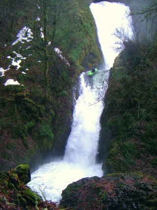 Bridal Veil FallsResearched visit notes118 ft (36 m) · Multnomah County, OR1.0 miNE
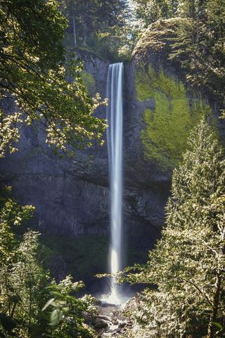 Latourell FallsResearched visit notes224 ft lower falls · Multnomah County, OR1.2 miSW
- Upper Bridal Veil Falls80 ft (24.4 m) · Multnomah County, OR1.3 miE
- Belle Center FallsSkamania County, WA1.6 miNW
- Upper Latourell FallsState park loop trail to the base of the upper falls120 ft (36.5 m) · Multnomah County, OR1.6 miSW
 Cape Horn FallsGuide: Gorge loop to a bridge in front of the falls; seasonal falcon closure597 ft (182 m) · Skamania County, WA1.7 miN
 Coopey FallsTrail viewpoint above the falls; the base is on private convent land150 ft (45.7 m) · Multnomah County, OR1.9 miNE
 Upper Coopey FallsShort climb on the Angels Rest Trail and side path to the baseMultnomah County, OR2.0 miNE
- Foxglove FallsMultnomah County, OR2.6 miNE