Bridal Veil Falls
Multnomah County, Oregon
Your visit at a glance
- Waterfall height
- 118 ft (36 m)
- Location
- Multnomah County, Oregon
- The walk
- 0.3 mile one way; 0.6 mile return calculated
- Ground & access
- Steep descent with a creek crossing; the return climbs back up.
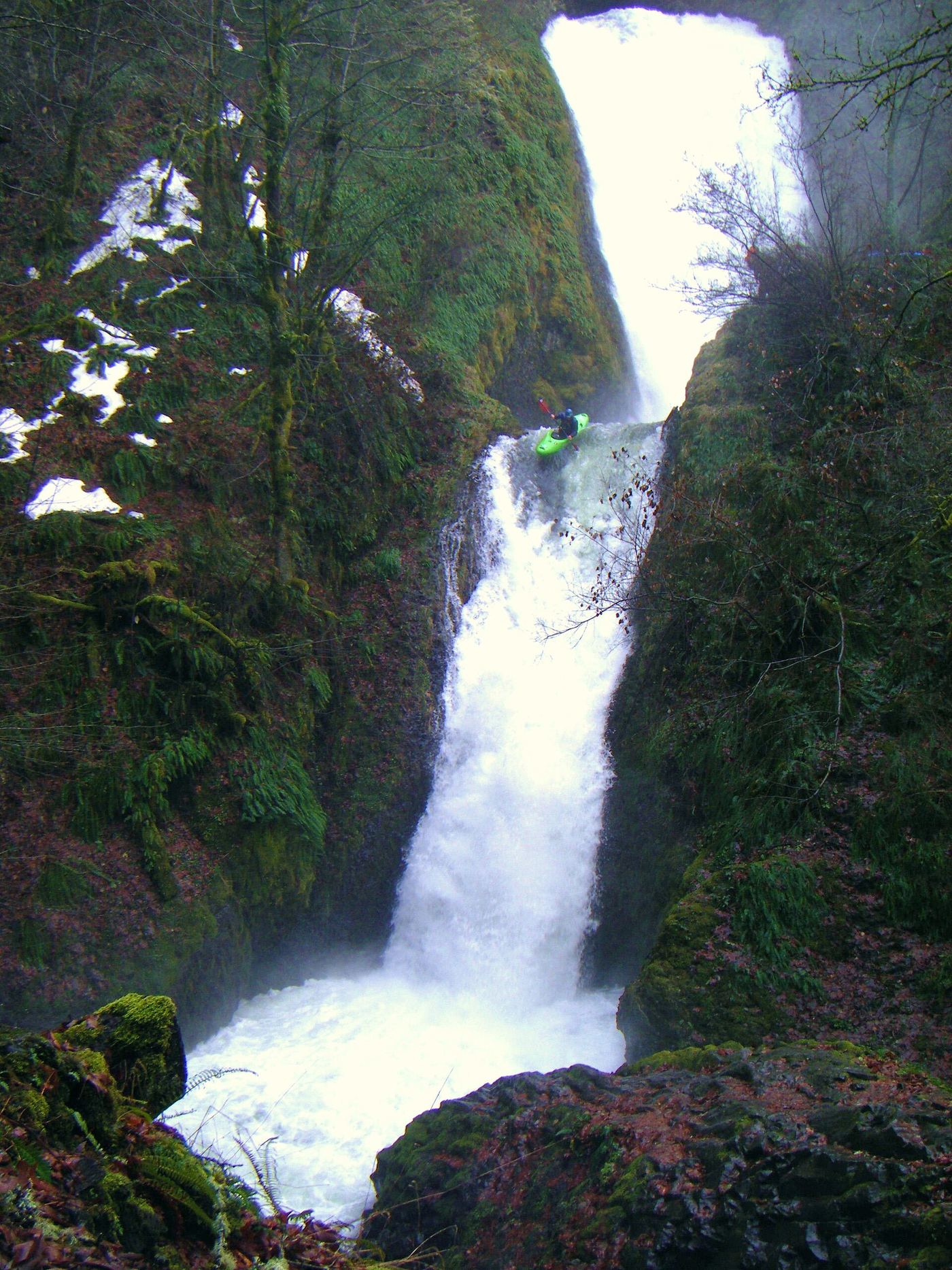
Descend to the waterfall using the lower trail, not the highway bridge.
Plan your visit
Lower waterfall trail
The park describes a 0.3-mile descent. Doubling this gives 0.6 mile return. The separate half-mile paved overlook loop views the Columbia River.
Steep descent with a creek crossing; the return climbs back up.
Where to start
Use the state park parking area near Historic Columbia River Highway milepost 28, west of I-84 Exit 28.
Timing & water
Current seasonal trail conditions are unknown; check park notices before travel.
Before you go
Day-use parking permit required; the park lists one-day purchase on site.
Visitor informationMore waterfalls nearby
Within 40 straight-line miles. Road and trail distances will differ.
- Upper Bridal Veil Falls80 ft (24.4 m) · Multnomah County, OR0.7 miSE
 Coopey FallsTrail viewpoint above the falls; the base is on private convent land150 ft (45.7 m) · Multnomah County, OR0.9 miNE
 Upper Coopey FallsShort climb on the Angels Rest Trail and side path to the baseMultnomah County, OR1.0 miNE
 Shepperd's Dell FallsShort paved path from a roadside pullout82 ft (25 m) · Multnomah County, OR1.0 miSW
 Cape Horn FallsGuide: Gorge loop to a bridge in front of the falls; seasonal falcon closure597 ft (182 m) · Skamania County, WA1.4 miNW
- Foxglove FallsMultnomah County, OR1.6 miNE
- Belle Center FallsSkamania County, WA1.9 miW
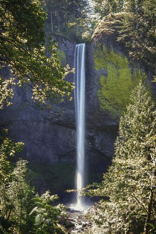 Latourell FallsResearched visit notes224 ft lower falls · Multnomah County, OR2.2 miSW
- Dalton FallsPartial guide: distant pond-shore view; identity as the historic Dalton Falls is uncertainMultnomah County, OR2.5 miNE