Latourell Falls
Multnomah County, Oregon
Your visit at a glance
- Waterfall height
- 224 ft lower falls
- Location
- Multnomah County, Oregon
- The walk
- Short base walk; 2-mile loop option
- Ground & access
- The loop includes rocky ground, wooden bridges and a highway crossing. Oregon State Parks describes it as moderately difficult.
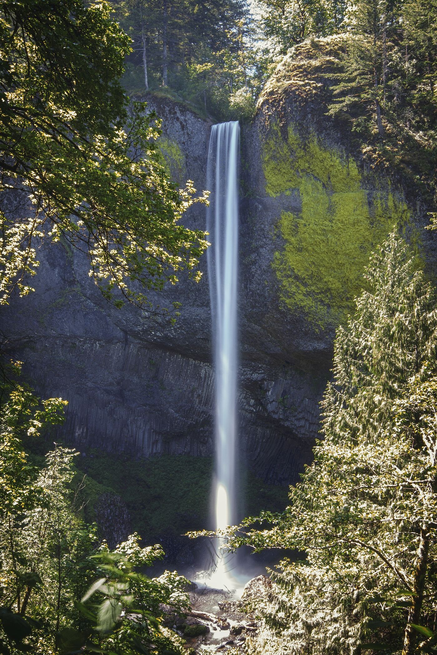
A short walk beneath the historic highway bridge reaches the base of the lower falls. Choose the loop only if you want a longer walk through the forest.
Plan your visit
Lower falls walk or Latourell loop
The 2-mile distance is for the full loop, not the short walk to the lower falls.
The loop includes rocky ground, wooden bridges and a highway crossing. Oregon State Parks describes it as moderately difficult.
Where to start
Start at Guy W. Talbot State Park. Follow the park directions for the lower falls or the loop trailhead across the highway.
Timing & water
Check the park notices before travelling.
Before you go
Check the park page for current parking and visitor rules.
Visitor informationMore waterfalls nearby
Within 40 straight-line miles. Road and trail distances will differ.
- Upper Latourell FallsState park loop trail to the base of the upper falls120 ft (36.5 m) · Multnomah County, OR0.5 miS
 Shepperd's Dell FallsShort paved path from a roadside pullout82 ft (25 m) · Multnomah County, OR1.2 miNE
- Belle Center FallsSkamania County, WA1.9 miN
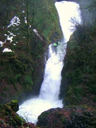 Bridal Veil FallsResearched visit notes118 ft (36 m) · Multnomah County, OR2.2 miNE
- Upper Bridal Veil Falls80 ft (24.4 m) · Multnomah County, OR2.3 miE
 Cape Horn FallsGuide: Gorge loop to a bridge in front of the falls; seasonal falcon closure597 ft (182 m) · Skamania County, WA2.6 miNE
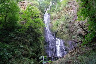 Coopey FallsTrail viewpoint above the falls; the base is on private convent land150 ft (45.7 m) · Multnomah County, OR3.1 miNE
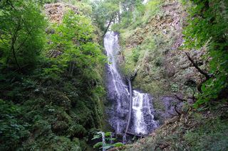 Upper Coopey FallsShort climb on the Angels Rest Trail and side path to the baseMultnomah County, OR3.1 miNE
- Foxglove FallsMultnomah County, OR3.8 miNE