Upper Latourell Falls
Multnomah County, Oregon
Your visit at a glance
- Waterfall height
- 120 ft (36.5 m)
- Location
- Multnomah County, Oregon
- Access status
- State park loop trail to the base of the upper falls
- The walk
- A little over 3/4 mile one way (Northwest Waterfall Survey); the loop is 2.4 miles
- Ground & access
- Steps and switchbacks, then a rocky creekside trail that small slides can narrow. Spray can freeze on the trail in winter.
Upper Latourell Falls is a 120-foot, two-tiered fall on Latourell Creek in the George W. Joseph State Natural Area. From the Latourell Falls Trailhead, climb the 60 steps to the Latourell Falls Viewpoint, then follow the natural-surface trail up by switchbacks above the lip of Latourell Falls and along the creek over four small bridges. The trail crosses Latourell Creek on a metal footbridge at the base of the upper falls. Return the same way, or continue down the west side of the creek to complete the loop back to the highway and trailhead.
Plan your visit
Latourell Falls Trailhead in Guy W. Talbot State Park, trail up Latourell Creek to Upper Latourell Falls
Northwest Waterfall Survey says the trail reaches the upper falls in a little over 3/4 mile. Oregon Hikers gives 2.4 miles with 625 feet of elevation gain for the loop past both falls.
Steps and switchbacks, then a rocky creekside trail that small slides can narrow. Spray can freeze on the trail in winter.
Where to start
Latourell Falls Trailhead, a signed lot on the Historic Columbia River Highway before the bridge over Latourell Creek, 2.9 miles from the highway junction at I-84 Exit 28. Restrooms.
Timing & water
Day use only, 6 a.m. to 10 p.m. Flow is low in summer and fall.
Before you go
Oregon Hikers lists a $10 day-use fee for Oregon residents, $12 for non-residents, or an annual State Parks pass.
Visitor informationVisit sources
More waterfalls nearby
Within 40 straight-line miles. Road and trail distances will differ.
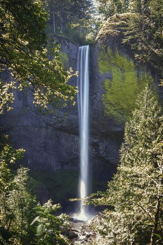 Latourell FallsResearched visit notes224 ft lower falls · Multnomah County, OR0.5 miN
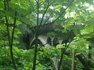 Shepperd's Dell FallsShort paved path from a roadside pullout82 ft (25 m) · Multnomah County, OR1.6 miNE
- Belle Center FallsSkamania County, WA2.4 miN
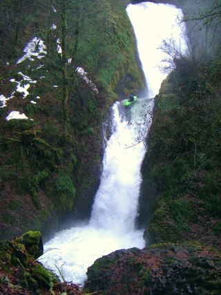 Bridal Veil FallsResearched visit notes118 ft (36 m) · Multnomah County, OR2.6 miNE
- Upper Bridal Veil Falls80 ft (24.4 m) · Multnomah County, OR2.6 miNE
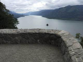 Cape Horn FallsGuide: Gorge loop to a bridge in front of the falls; seasonal falcon closure597 ft (182 m) · Skamania County, WA3.1 miN
 Coopey FallsTrail viewpoint above the falls; the base is on private convent land150 ft (45.7 m) · Multnomah County, OR3.5 miNE
 Upper Coopey FallsShort climb on the Angels Rest Trail and side path to the baseMultnomah County, OR3.5 miNE
- Foxglove FallsMultnomah County, OR4.2 miNE