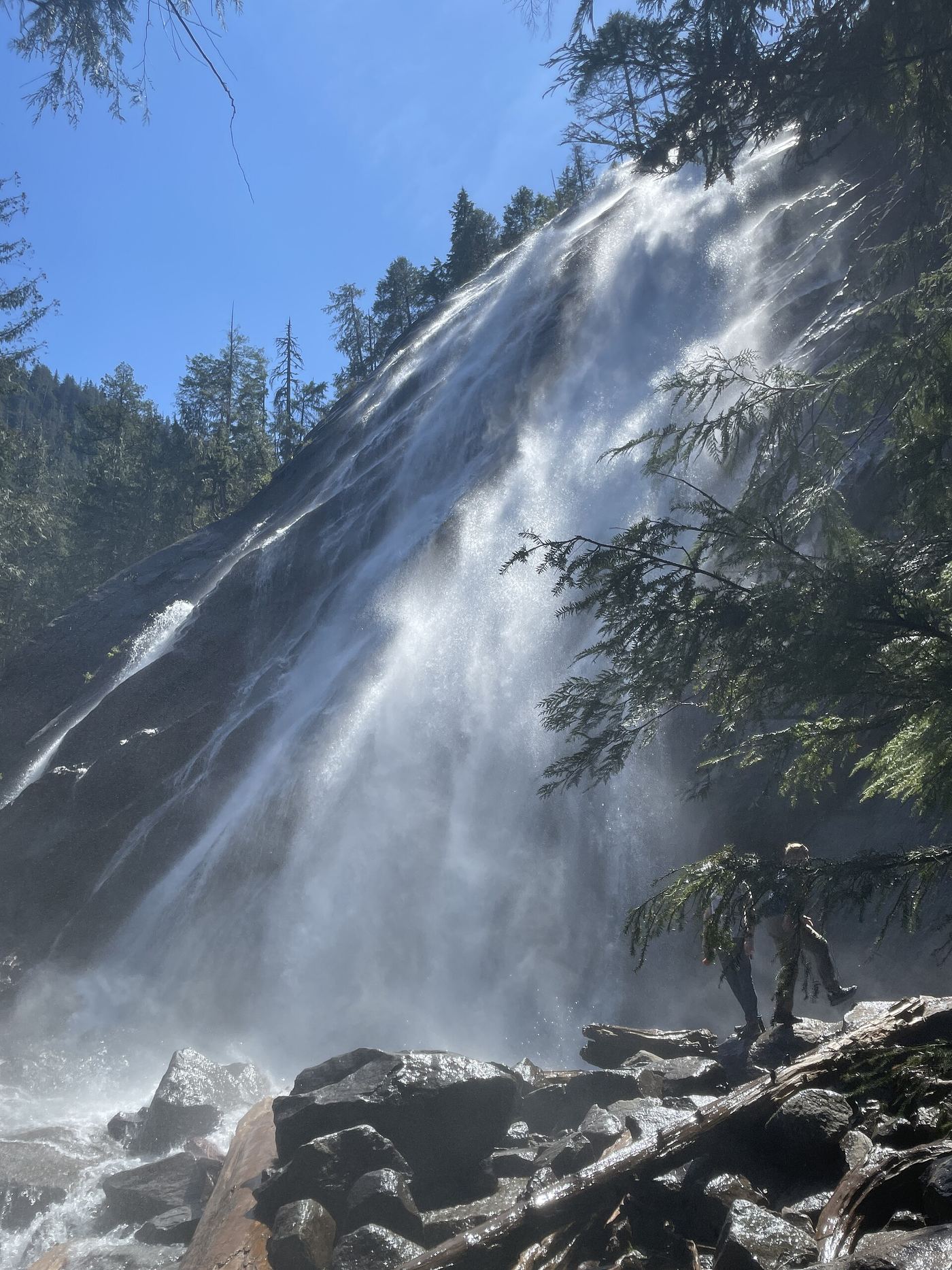
Bridal Veil Falls-Mine Cascade
1,291 ft (393.5 m) · Snohomish County, WA
429 named waterfalls in 30 counties. Browse mapped locations and recorded heights. A map listing does not confirm public access or a walking route.
Read the walking route, starting point and current access notes.
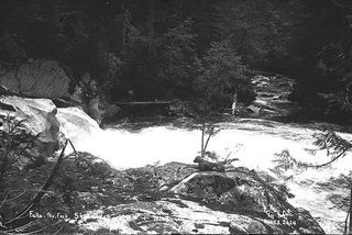 Bear Creek FallsPartial notes: correct waterfall identified; sanctioned approach and parking unverified.7 ft (2 m) · Snohomish County, WA
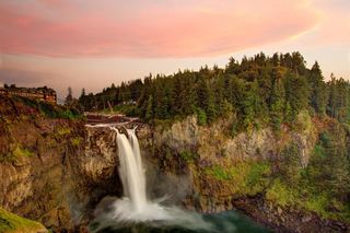 Snoqualmie FallsResearched visit notes268 ft · King County, WA
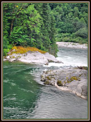 Sunset FallsPublic access closed; reopening not confirmed104 ft (31.7 m) · Snohomish County, WA
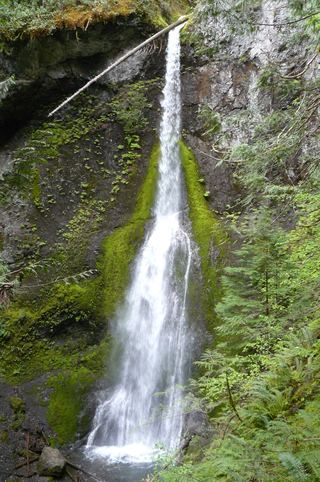 Marymere FallsResearched visit notes92 ft (28 m) · Clallam County, WA
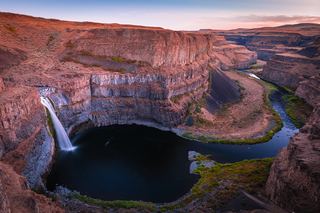 Palouse FallsSource-reviewed route and parking197 ft (60 m) · Whitman County, WA
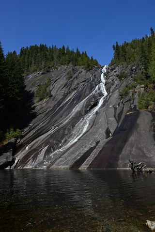 Otter FallsRoute documented; landslide-damaged creek crossing reported by WTA.1,200 ft (365.8 m) · King County, WA
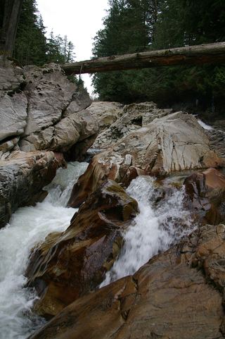 Weeks FallsResearched walking route60 ft (18.3 m) · King County, WA
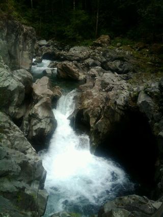 Fantastic FallsClosed to all public access at landowners' request33 ft (10 m) · King County, WA
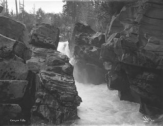 Canyon FallsClosed to general public access: private residential development42 ft (12.8 m) · Snohomish County, WA
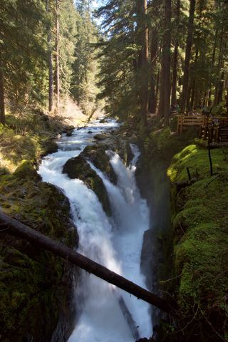 Sol Duc FallsResearched visit notes46 ft (14 m) · Clallam County, WA
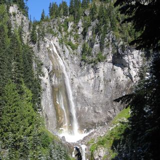 Comet FallsSource-reviewed route and parking302 ft (92 m) · Pierce County, WA
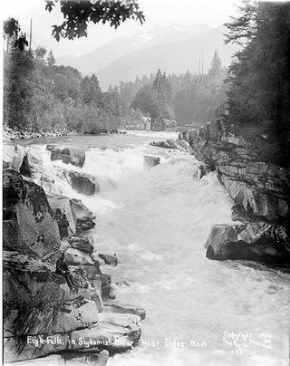 Eagle FallsGuide: roadside view from a signed turnoutSnohomish County, WA
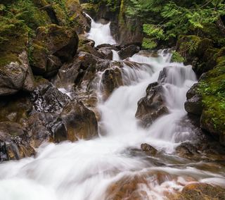 Deception FallsResearched walking routeKing County, WA
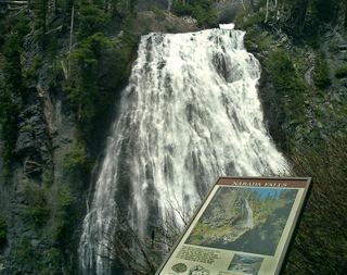 Narada FallsResearched visit notes176 ft (53.6 m) · Lewis County, WA
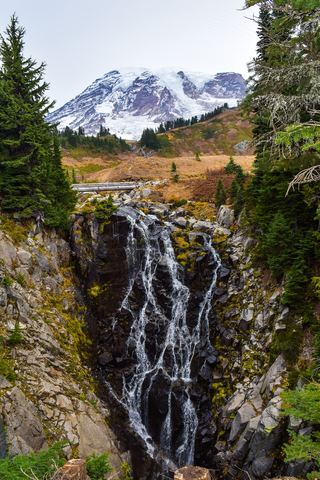 Myrtle FallsResearched visit notes59 ft (18 m) · Pierce County, WA
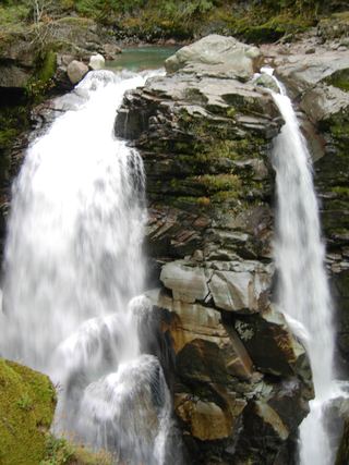 Nooksack FallsShort trail to a fenced viewpoint above the falls; stay behind the fence89 ft (27 m) · Whatcom County, WA
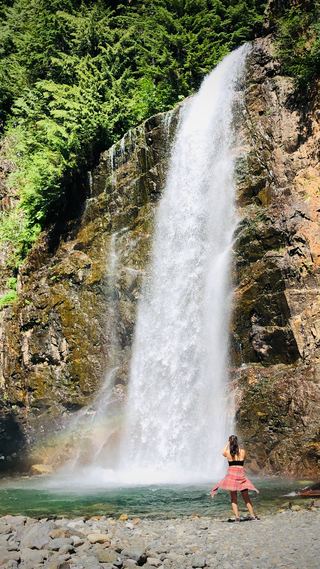 Franklin FallsResearched visit notes135 ft (41 m) · King County, WA
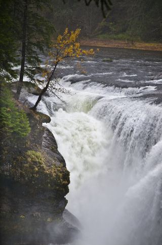 Lower Lewis River FallsResearched visit notes43 ft (13.1 m) · Skamania County, WA
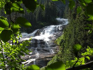 Depot Creek FallsHistorical climbing approach; current access and parking unverified886 ft (270 m) · Whatcom County, WA
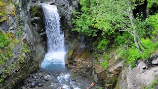 Christine FallsResearched visit notesPierce County, WA
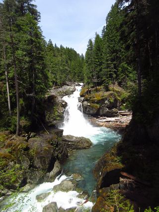 Silver FallsNational park trail loop to a falls viewpoint; slippery ledges near the falls95 ft (29 m) · Lewis County, WA
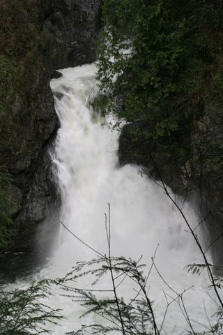 Twin Falls (Upper)State park trail to the bridge and upper overlookKing County, WA
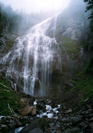 Spray FallsPartial: park trail documented; the only road access is closed at the Fairfax Bridge354 ft (107.9 m) · Pierce County, WA
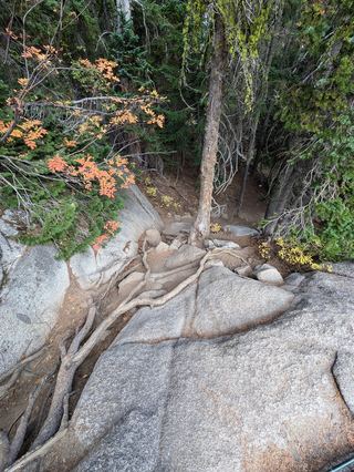 Upper Snow Creek FallsLong wilderness trail that passes the base of the falls148 ft (45 m) · Chelan County, WA
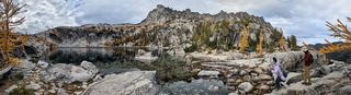 Viviane FallsLong wilderness trail; free day-use permit at the trailhead; scramble for a clear view197 ft (60 m) · Chelan County, WA
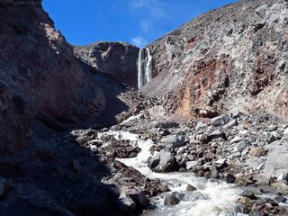 Loowit FallsMonument trail to the falls overlook186 ft (56.7 m) · Skamania County, WA
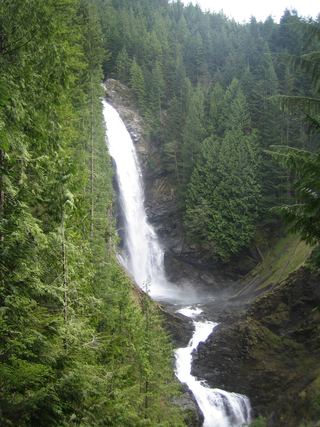 Middle Wallace FallsState park trail to the Middle Falls overlook; Discover Pass required367 ft (111.9 m) · Snohomish County, WA
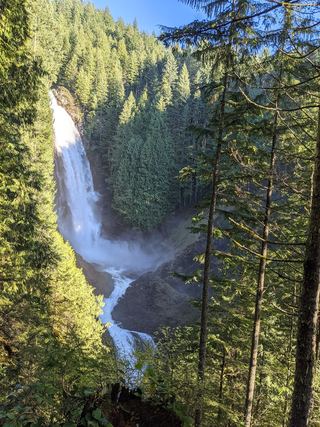 Upper Wallace FallsPublished state park trail to the Upper Falls viewpoint; Discover Pass required240 ft (73.2 m) · Snohomish County, WA
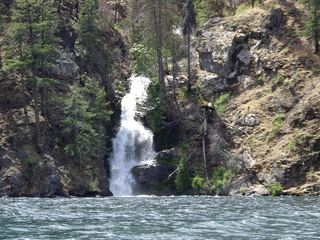 Domke FallsSource-reviewed boat access, launch parking and short viewing trailChelan County, WA
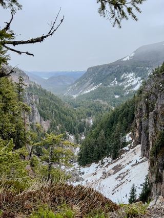 Clear Creek FallsParking and short viewpoint approach documented; distance unknown.228 ft (69.5 m) · Yakima County, WA
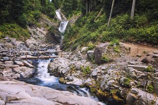 Bloucher FallsNational park trail route and parking documented121 ft (37 m) · Pierce County, WA
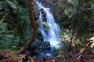 Carter FallsNational park trail route and parking documentedLewis County, WA
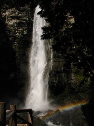 Rainbow FallsShort walk from a parking lot to two viewpoints; lower viewpoint accessibleChelan County, WA
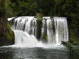 Upper Lewis River FallsNational forest river trail from the Quartz Creek Trailhead58 ft (17.7 m) · Skamania County, WA
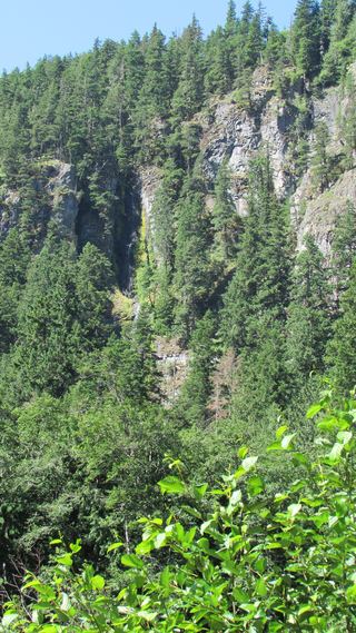 Skookum FallsNorth trailhead parking and return route documented by WTA.Pierce County, WA
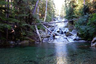 Chenuis FallsOfficial park route; road access closed until further noticePierce County, WA
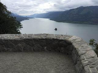 Cape Horn FallsGuide: Gorge loop to a bridge in front of the falls; seasonal falcon closure597 ft (182 m) · Skamania County, WA
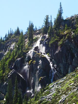 Harmony FallsLakeshore route; original falls submergedSkamania County, WA
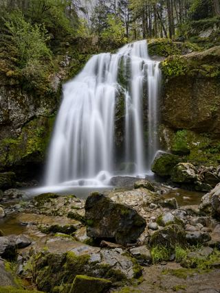 Little Mashel Middle FallsPublic trail from the Bud Blancher Trailhead; steep, slippery final section66 ft (20 m) · Pierce County, WA
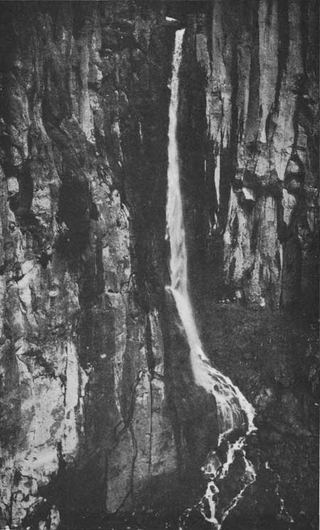 Pearl FallsDistant roadside view only; exact viewing spot not described; summer roadPierce County, WA
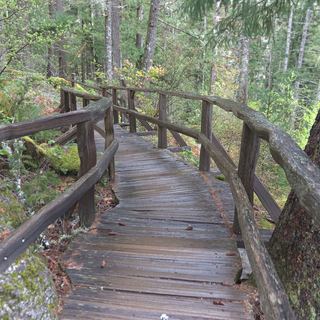 Ladder Creek FallsShort paved garden path and stairs from a Newhalem parking area108 ft (33 m) · Whatcom County, WA
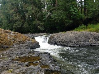 Rainbow FallsState park riverbank beside the falls; exact viewing spot not described; Discover Pass requiredLewis County, WA
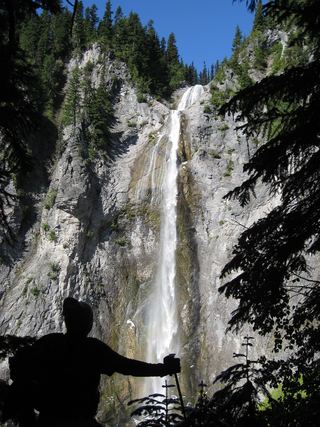 Upper Comet FallsPartial guide: national park trail; distance to this falls not confirmed and the creek crossing has no bridgePierce County, WA
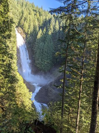 Lower Wallace FallsState park trail to the lower falls viewpointSnohomish County, WA
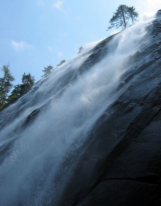 Bridal Veil Falls-Lower East CascadeEstablished trail to Bridal Veil Falls; this cascade's viewpoint not confirmedSnohomish County, WA
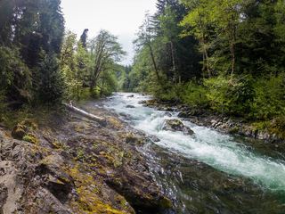 Salmon CascadesRoadside parking and a short path to a viewing deck; entrance pass requiredClallam County, WA
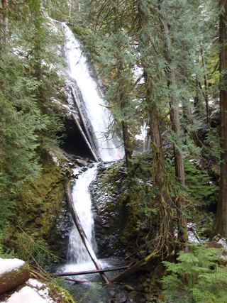 Murhut FallsRoute and trailhead parking documented.Jefferson County, WA
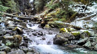 Ipsut FallsPartial: park trail documented; the only road access is closed at the Fairfax BridgePierce County, WA
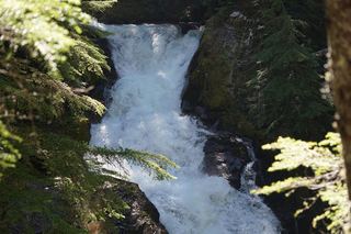 Deer Creek FallsShort official park trail from SR 123; road closed in winterPierce County, WA
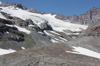 Paradise FallsPartial guide: distant view from Skyline Trail footbridges; only one source describes this fallsPierce County, WA
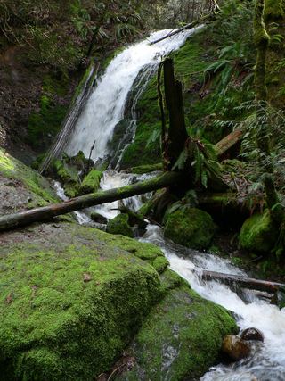 Coal Creek FallsCounty park trail route and trailhead documentedKing County, WA
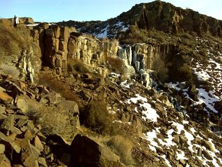 Ancient Lake FallsPartial: route to the lakes documented; exact waterfall match and final approach unconfirmedGrant County, WA
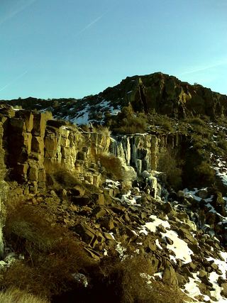 Upper Ancient Lake FallsPartial guide: informal paths on state wildlife land; who manages the gate parking area is not statedGrant County, WA
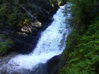 Sweet Creek FallsShort trails from a highway rest area to the base and an observation areaPend Oreille County, WA
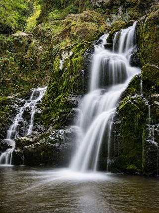 Little Mashel Lower FallsCrushed-rock trail and signed side trail to the lower falls; no pass requiredPierce County, WA
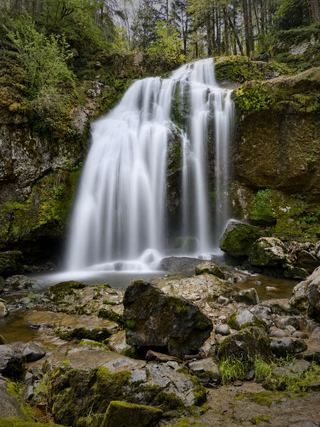 Little Mashel Upper FallsPack Forest trail to a viewpoint of the upper falls; mixed land ownershipPierce County, WA
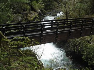 Maidenhair FallsResearched walking routeGrays Harbor County, WA
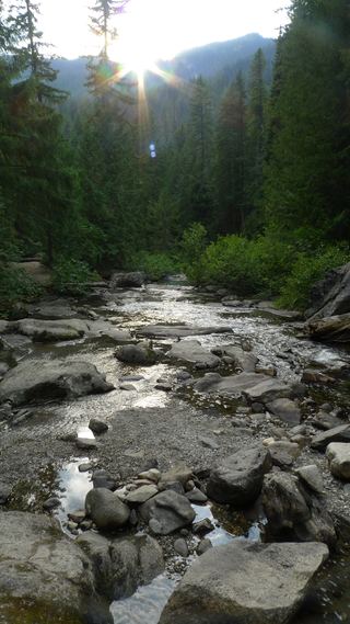 White River FallsCampground closed; waterfall approach unverifiedChelan County, WA
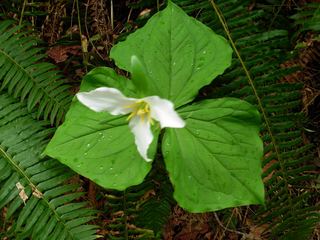 Boulder FallsPartial guide: falls only heard and glimpsed through trees from the trail; no access to the fallsSnohomish County, WA
1,291 ft (393.5 m) · Snohomish County, WA
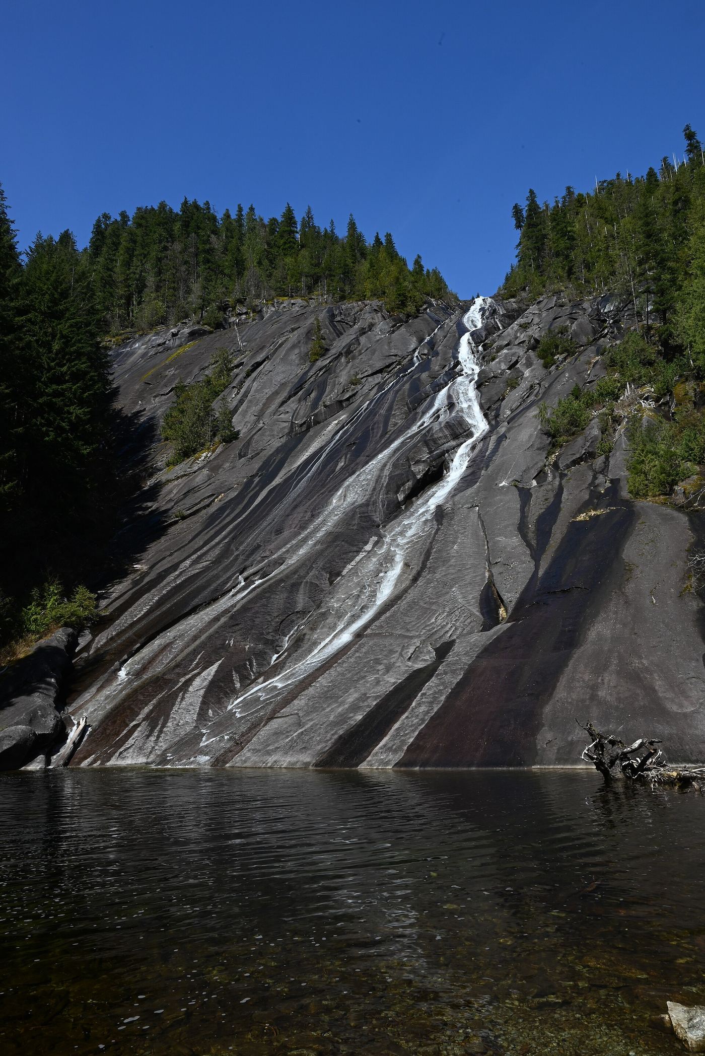
1,200 ft (365.8 m) · King County, WA
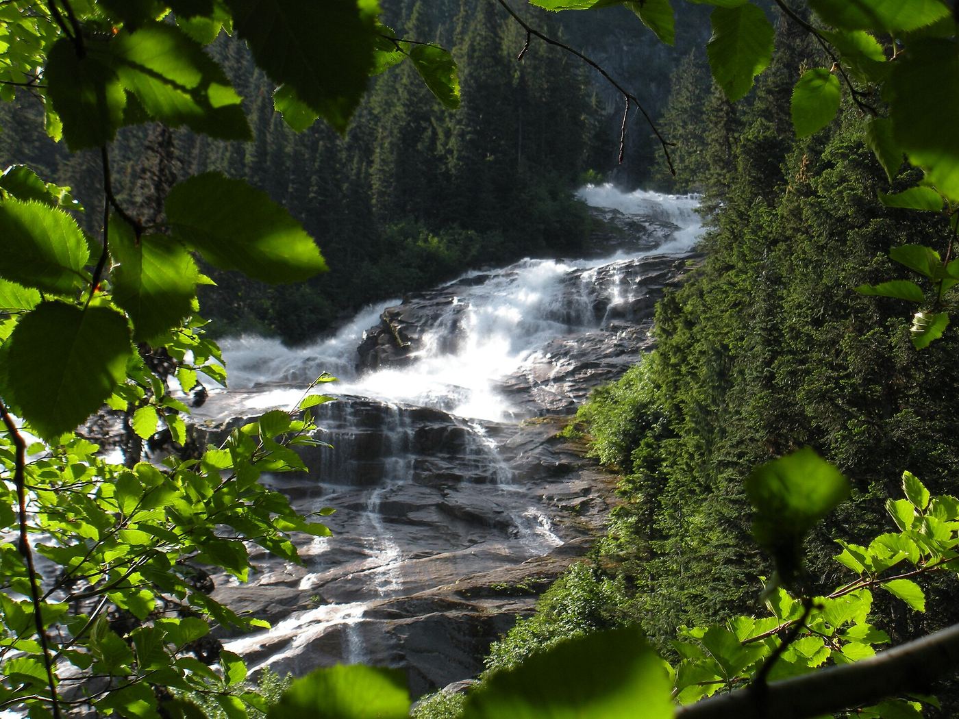
886 ft (270 m) · Whatcom County, WA
Cape Horn FallsGuide: Gorge loop to a bridge in front of the falls; seasonal falcon closure597 ft (182 m) · Skamania CountyCape Horn FallsGuide: Gorge loop to a bridge in front of the falls; seasonal falcon closure597 ft (182 m) · Skamania CountyHarmony FallsLakeshore route; original falls submergedSkamania CountyLoowit FallsMonument trail to the falls overlook186 ft (56.7 m) · Skamania CountyLower Lewis River FallsResearched visit notes43 ft (13.1 m) · Skamania County McClellan Falls143 ft (43.6 m) · Skamania CountyUpper Lewis River FallsNational forest river trail from the Quartz Creek Trailhead58 ft (17.7 m) · Skamania CountyCoal Creek FallsCounty park trail route and trailhead documentedKing CountyDeception FallsResearched walking routeKing CountyFantastic FallsClosed to all public access at landowners' request33 ft (10 m) · King CountyFranklin FallsResearched visit notes135 ft (41 m) · King CountyOtter FallsRoute documented; landslide-damaged creek crossing reported by WTA.1,200 ft (365.8 m) · King CountySnoqualmie FallsResearched visit notes268 ft · King County
 Twin Falls (Lower)230 ft (70.1 m) · King CountyTwin Falls (Upper)State park trail to the bridge and upper overlookKing CountyWeeks FallsResearched walking route60 ft (18.3 m) · King CountyBloucher FallsNational park trail route and parking documented121 ft (37 m) · Pierce CountyChenuis FallsOfficial park route; road access closed until further noticePierce CountyChristine FallsResearched visit notesPierce CountyComet FallsSource-reviewed route and parking302 ft (92 m) · Pierce CountyDeer Creek FallsShort official park trail from SR 123; road closed in winterPierce CountyIpsut FallsPartial: park trail documented; the only road access is closed at the Fairfax BridgePierce CountyLittle Mashel Lower FallsCrushed-rock trail and signed side trail to the lower falls; no pass requiredPierce CountyLittle Mashel Middle FallsPublic trail from the Bud Blancher Trailhead; steep, slippery final section66 ft (20 m) · Pierce CountyLittle Mashel Upper FallsPack Forest trail to a viewpoint of the upper falls; mixed land ownershipPierce CountyMyrtle FallsResearched visit notes59 ft (18 m) · Pierce CountyParadise FallsPartial guide: distant view from Skyline Trail footbridges; only one source describes this fallsPierce CountyPearl FallsDistant roadside view only; exact viewing spot not described; summer roadPierce CountySkookum FallsNorth trailhead parking and return route documented by WTA.Pierce CountySpray FallsPartial: park trail documented; the only road access is closed at the Fairfax Bridge354 ft (107.9 m) · Pierce CountyUpper Comet FallsPartial guide: national park trail; distance to this falls not confirmed and the creek crossing has no bridgePierce CountyBear Creek FallsPartial notes: correct waterfall identified; sanctioned approach and parking unverified.7 ft (2 m) · Snohomish CountyBoulder FallsPartial guide: falls only heard and glimpsed through trees from the trail; no access to the fallsSnohomish CountyBridal Veil Falls-Lower East CascadeEstablished trail to Bridal Veil Falls; this cascade's viewpoint not confirmedSnohomish County
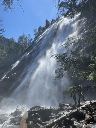 Bridal Veil Falls-Mine Cascade1,291 ft (393.5 m) · Snohomish County
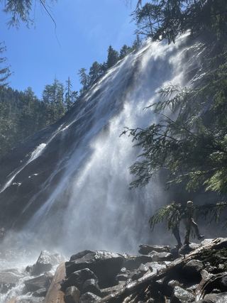 Bridal Veil Falls-Upper CascadeSnohomish CountyCanyon FallsClosed to general public access: private residential development42 ft (12.8 m) · Snohomish CountyEagle FallsGuide: roadside view from a signed turnoutSnohomish CountyLower Wallace FallsState park trail to the lower falls viewpointSnohomish County
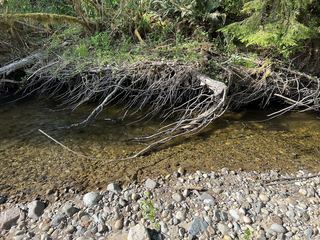 Marckworth FallsSnohomish CountyMiddle Wallace FallsState park trail to the Middle Falls overlook; Discover Pass required367 ft (111.9 m) · Snohomish CountySunset FallsPublic access closed; reopening not confirmed104 ft (31.7 m) · Snohomish CountyUpper Wallace FallsPublished state park trail to the Upper Falls viewpoint; Discover Pass required240 ft (73.2 m) · Snohomish County
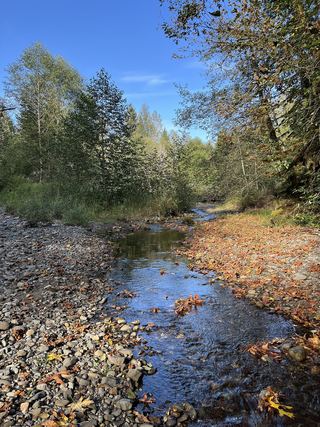 Youngs Creek Falls26 ft (8 m) · Snohomish CountyCarter FallsNational park trail route and parking documentedLewis CountyNarada FallsResearched visit notes176 ft (53.6 m) · Lewis CountyRainbow FallsState park riverbank beside the falls; exact viewing spot not described; Discover Pass requiredLewis CountySilver FallsNational park trail loop to a falls viewpoint; slippery ledges near the falls95 ft (29 m) · Lewis County
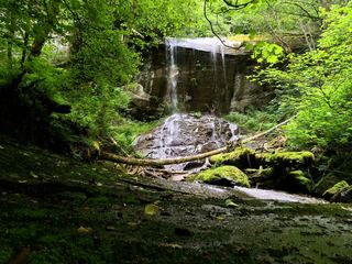 Anderson Falls167 ft (51 m) · Whatcom CountyDepot Creek FallsHistorical climbing approach; current access and parking unverified886 ft (270 m) · Whatcom CountyLadder Creek FallsShort paved garden path and stairs from a Newhalem parking area108 ft (33 m) · Whatcom CountyNooksack FallsShort trail to a fenced viewpoint above the falls; stay behind the fence89 ft (27 m) · Whatcom County
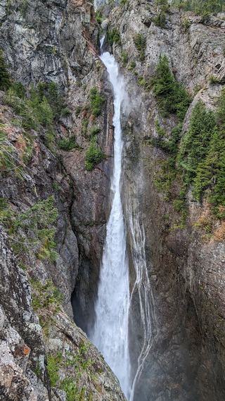 Sulphide Creek FallsWhatcom CountyDomke FallsSource-reviewed boat access, launch parking and short viewing trailChelan CountyRainbow FallsShort walk from a parking lot to two viewpoints; lower viewpoint accessibleChelan CountyUpper Snow Creek FallsLong wilderness trail that passes the base of the falls148 ft (45 m) · Chelan CountyViviane FallsLong wilderness trail; free day-use permit at the trailhead; scramble for a clear view197 ft (60 m) · Chelan CountyWhite River FallsCampground closed; waterfall approach unverifiedChelan County
 Upper Meyers FallsStevens CountyClear Creek FallsParking and short viewpoint approach documented; distance unknown.228 ft (69.5 m) · Yakima CountyMarymere FallsResearched visit notes92 ft (28 m) · Clallam CountySalmon CascadesRoadside parking and a short path to a viewing deck; entrance pass requiredClallam CountySol Duc FallsResearched visit notes46 ft (14 m) · Clallam CountyMaidenhair FallsResearched walking routeGrays Harbor CountySweet Creek FallsShort trails from a highway rest area to the base and an observation areaPend Oreille CountyMurhut FallsRoute and trailhead parking documented.Jefferson CountyAncient Lake FallsPartial: route to the lakes documented; exact waterfall match and final approach unconfirmedGrant CountyUpper Ancient Lake FallsPartial guide: informal paths on state wildlife land; who manages the gate parking area is not statedGrant County