Cathedral Falls
Lewis County, Washington
Your visit at a glance
- Waterfall height
- Not recorded
- Location
- Lewis County, Washington
- Access status
- Partial: monument trail documented; access road crosses private land and may be gated
- The walk
- About 1 mile one way (Waterfalls Northwest)
- Ground & access
- Gentle forest trail on an old roadbed. Behind the falls the trail has a steep drop-off on the left.
Cathedral Falls is a 248-foot plunge on a small tributary of Goat Creek in the Mount St. Helens National Volcanic Monument. The trail starts where Forest Road 2750 ends at a turnout; do not park in the turnout itself. The Goat Creek Trail follows an old roadbed through old cedar and hemlock forest and climbs gently to the falls, then passes behind them under a huge overhang. Return the same way. The access road crosses private land and may be gated.
Plan your visit
End of Forest Road 2750 south of Riffe Lake, Goat Creek Trail along an old roadbed to Cathedral Falls
Waterfalls Northwest says the falls are reached after an easy mile of hiking on the Goat Creek Trail.
Gentle forest trail on an old roadbed. Behind the falls the trail has a steep drop-off on the left.
Where to start
Small parking area for about five cars at the end of Forest Road 2750. From US 12, take Kosmos Road, follow signs past Riffe Lake toward Taidnapam Park, cross the bridge, turn right onto Forest Road 2600 and after about three-quarters of a mile turn left onto unsigned Forest Road 2750, then go 3.7 miles to its end. WTA says the access road is on private land and may be gated.
Timing & water
The falls lose much of their flow by the end of June. Road access depends on the gate on Forest Road 2750 being open.
Before you go
WTA says no pass is required.
Visitor informationVisit sources
More waterfalls nearby
Within 40 straight-line miles. Road and trail distances will differ.
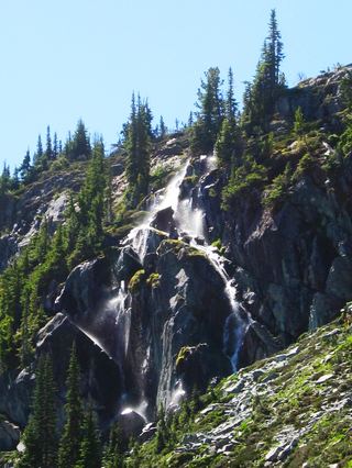 Harmony FallsLakeshore route; original falls submergedSkamania County, WA10.0 miS
- Iron Creek FallsShort national forest trail to a viewpoint beside Forest Road 25Skamania County, WA11 miSE
- Sulphur Creek FallsLewis County, WA13 miW
- Lower Loowit FallsNational monument trails from Windy Ridge; falls seen from the Loowit Trail ford36 ft (11 m) · Skamania County, WA13 miS
- Middle Loowit FallsSkamania County, WA14 miS
- Lower Step Falls98 ft (30 m) · Skamania County, WA14 miS
- Angel FallsResearched walking route174 ft (53 m) · Lewis County, WA14 miE
- Curtain FallsNational forest trail to a walk-behind waterfall75 ft (23 m) · Lewis County, WA14 miE
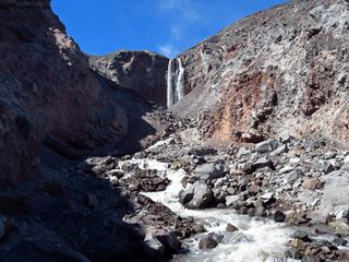 Loowit FallsMonument trail to the falls overlook186 ft (56.7 m) · Skamania County, WA14 miS