Iron Creek Falls
Skamania County, Washington
Your visit at a glance
- Waterfall height
- Not recorded
- Location
- Skamania County, Washington
- Access status
- Short national forest trail to a viewpoint beside Forest Road 25
- The walk
- About 500 feet to the viewpoint, per WTA
- Ground & access
- Short, wide trail that drops to the viewpoint. Boot paths below the viewpoint are steeper.
Iron Creek Falls pours over an erosion-resistant rock band on Iron Creek in the Gifford Pinchot National Forest, close to Forest Road 25 south of Randle. From the signed trail on the east side of the road, walk about 500 feet down a wide trail to the viewpoint. The trail ends at the viewpoint. Several boot paths lead down to the creek; watch your footing and keep children close if you use them. Return the same way.
Plan your visit
Iron Creek Falls trailhead on Forest Road 25, short trail down to the viewpoint
WTA gives about 500 feet from Forest Road 25 to the viewpoint and lists the length as 0.1 miles one way.
Short, wide trail that drops to the viewpoint. Boot paths below the viewpoint are steeper.
Where to start
Signed trailhead on the east side of Forest Road 25. From Randle, drive south on Highway 131 about 2.7 miles, then continue on Forest Road 25 for about 16 miles. Parking details are not described.
Timing & water
No season limits are stated.
Before you go
WTA lists no parking pass or entry fee.
Visitor informationVisit sources
More waterfalls nearby
Within 40 straight-line miles. Road and trail distances will differ.
- Paradise Falls126 ft (38.4 m) · Skamania County, WA6.9 miS
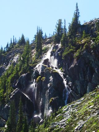 Harmony FallsLakeshore route; original falls submergedSkamania County, WA7.7 miSW
- Angel FallsResearched walking route174 ft (53 m) · Lewis County, WA8.7 miNE
- Curtain FallsNational forest trail to a walk-behind waterfall75 ft (23 m) · Lewis County, WA8.8 miNE
- Cathedral FallsPartial: monument trail documented; access road crosses private land and may be gatedLewis County, WA11 miNW
- Camp Creek FallsGuide: short forest trail to an overlook at the baseLewis County, WA11 miNE
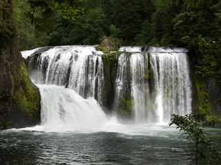 Upper Lewis River FallsNational forest river trail from the Quartz Creek Trailhead58 ft (17.7 m) · Skamania County, WA12 miSE
- Taitnapum FallsShort national forest trail from the Quartz Creek Trailhead16 ft (4.9 m) · Skamania County, WA12 miSE
- Lower Loowit FallsNational monument trails from Windy Ridge; falls seen from the Loowit Trail ford36 ft (11 m) · Skamania County, WA12 miSW