Upper Lewis River Falls
Skamania County, Washington
Your visit at a glance
- Waterfall height
- 58 ft (17.7 m)
- Location
- Skamania County, Washington
- Access status
- National forest river trail from the Quartz Creek Trailhead
- The walk
- About 3/4 mile from the Quartz Creek Trailhead (Northwest Waterfall Survey)
- Ground & access
- Forest trail along the river canyon, with a steep climb to the upper viewpoint.
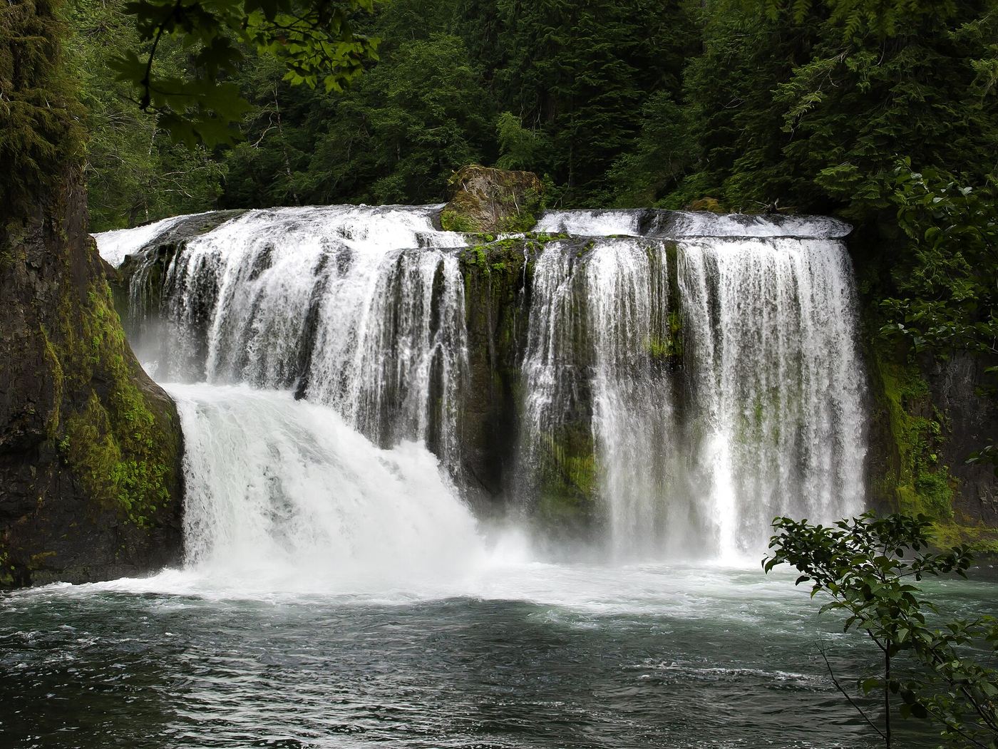
Upper Lewis River Falls is the tallest of the four major falls on this stretch of the Lewis River in the Gifford Pinchot National Forest, a 58-foot drop where most of the river stair-steps down a trough beside a sheer plunge. From the Quartz Creek Trailhead on Forest Road 90, follow the Lewis River Trail downstream, passing Taitnapum Falls at about the halfway point, to the falls. WTA describes a lower viewpoint and a second viewpoint, up a steep climb, about a quarter mile upstream of the lower one. The Northwest Waterfall Survey says the best access to the pool below the falls is from the north side of Alec Creek where it enters the river. The falls can also be reached by walking upstream from the Middle Falls trailhead. Return the same way.
Plan your visit
Quartz Creek Trailhead on Forest Road 90, downstream on the Lewis River Trail (No. 31) past Taitnapum Falls to Upper Lewis River Falls
The Northwest Waterfall Survey says to follow the Lewis River Trail downstream from the Quartz Creek Trailhead for 3/4 of a mile, passing Taitnapum Falls at the halfway mark. It also gives about 1 1/4 miles from the Middle Falls trailhead. No round-trip figure is given.
Forest trail along the river canyon, with a steep climb to the upper viewpoint.
Where to start
Quartz Creek Trailhead (upper trailhead of the Lewis River Trail) on Forest Road 90.
Timing & water
Flow varies; at lower flow the vertical part of the falls can be dry. No season limits are stated.
Before you go
WTA says a Northwest Forest Pass or interagency pass is required year-round, and a Recreation.gov parking permit is needed from June 15 to September 2 at the Lower, Middle and Upper Lewis River trailheads. It does not say whether the summer permit applies at the Quartz Creek Trailhead.
Visitor informationVisit sources
More waterfalls nearby
Within 40 straight-line miles. Road and trail distances will differ.
- Taitnapum FallsShort national forest trail from the Quartz Creek Trailhead16 ft (4.9 m) · Skamania County, WA0.2 miNE
- Middle Lewis River FallsShort national forest trail from a fee trailhead; summer parking reservation required33 ft (10.1 m) · Skamania County, WA0.8 miSW
- Lower Copper Creek FallsShort national forest trail from a fee trailhead; summer parking reservation required32 ft (9.8 m) · Skamania County, WA0.9 miSW
- Upper Copper Creek FallsShort national forest trail from a fee trailhead; summer parking reservation required26 ft (7.9 m) · Skamania County, WA0.9 miSW
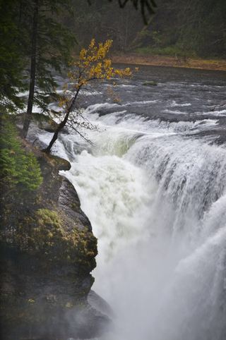 Lower Lewis River FallsResearched visit notes43 ft (13.1 m) · Skamania County, WA2.0 miSW
- Chickoon Creek Falls78 ft (23.8 m) · Skamania County, WA2.3 miSW
- Little Niagara Falls74 ft (22.6 m) · Skamania County, WA2.8 miSE
- Tribulation Falls277 ft (84.4 m) · Skamania County, WA5.8 miS
- Big Creek FallsSkamania County, WA6.2 miSW