Harmony Falls
Skamania County, Washington
Your visit at a glance
- Waterfall height
- Not recorded
- Location
- Skamania County, Washington
- Access status
- Lakeshore route; original falls submerged
- The walk
- About 2 miles return to former falls site
- Ground & access
- Steep descent and uphill return; off-trail travel and swimming prohibited.
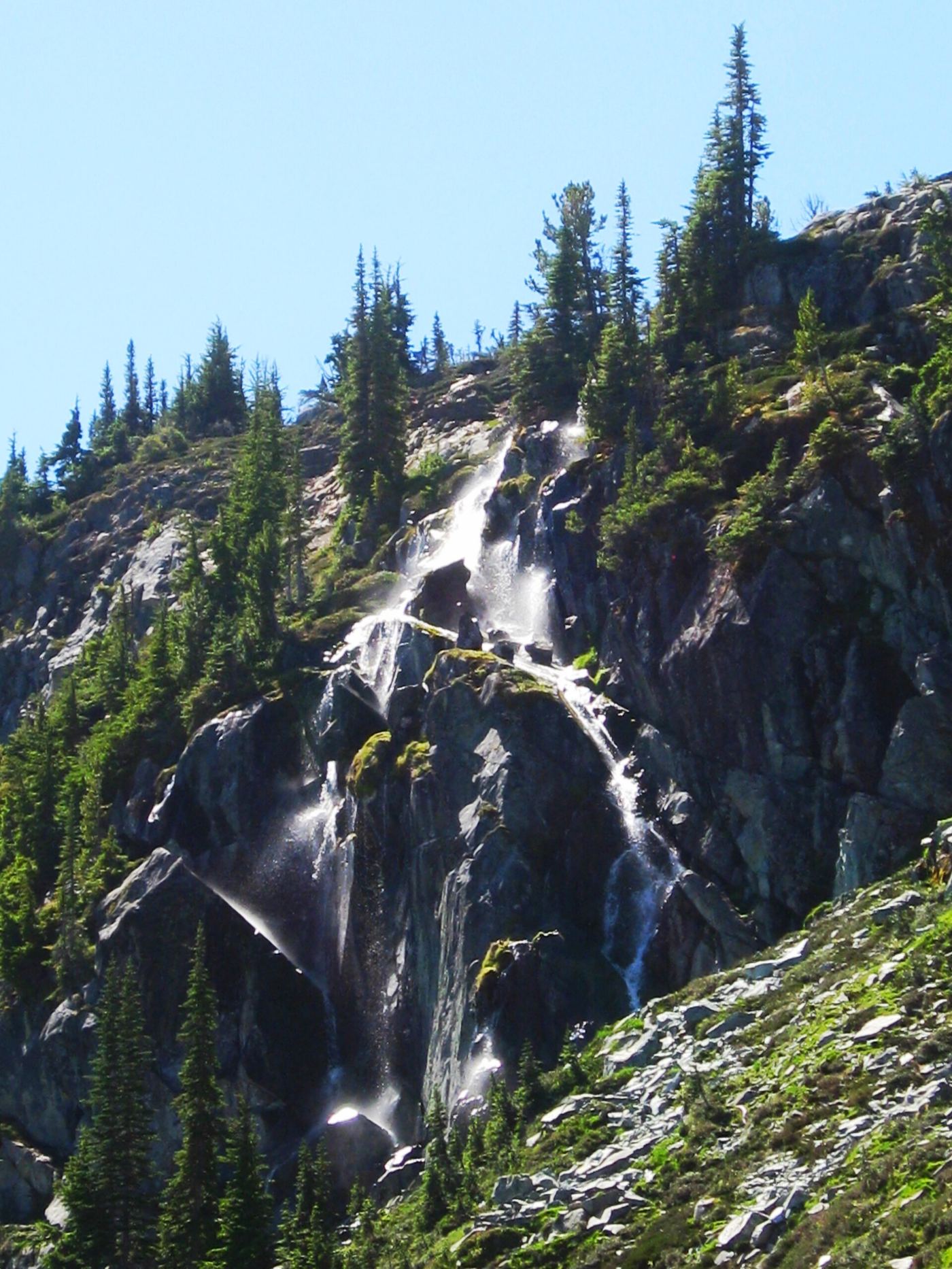
USFS says Harmony Falls was submerged by the 1980 eruption and is not visible. The trail reaches the lakeshore.
Plan your visit
Harmony Trail 224 to Spirit Lake; original falls submerged
USFS gives one mile each way, about two miles round-trip. WTA lists 2.4 miles round-trip.
Steep descent and uphill return; off-trail travel and swimming prohibited.
Where to start
WTA confirms parking at Harmony Falls Viewpoint. USFS routes drivers via FR 25 and FR 99, about 13.5 miles along FR 99 to the viewpoint.
Timing & water
USFS says open for the season as of June 12, 2026; seasonal road access can change.
Before you go
Current viewpoint page says no fee; older USFS trail page and WTA list a pass requirement. Verify posted requirements.
Visitor informationVisit sources
More waterfalls nearby
Within 40 straight-line miles. Road and trail distances will differ.
- Lower Loowit FallsNational monument trails from Windy Ridge; falls seen from the Loowit Trail ford36 ft (11 m) · Skamania County, WA4.5 miSW
- Middle Loowit FallsSkamania County, WA4.8 miSW
- Lower Step Falls98 ft (30 m) · Skamania County, WA5.1 miSW
 Loowit FallsMonument trail to the falls overlook186 ft (56.7 m) · Skamania County, WA5.1 miSW
- Step FallsMonument trail; the falls are seen from the Loowit Trail near the Loowit Creek ford115 ft (35 m) · Skamania County, WA5.3 miSW
- Paradise Falls126 ft (38.4 m) · Skamania County, WA6.1 miSE
- Iron Creek FallsShort national forest trail to a viewpoint beside Forest Road 25Skamania County, WA7.7 miNE
- Lava Canyon FallsMonument trail; steep cliff-edge section past a closed bridge132 ft (40.2 m) · Skamania County, WA7.9 miS
- Sheep Canyon Falls89 ft (27 m) · Cowlitz County, WA8.9 miSW