Lava Canyon Falls
Skamania County, Washington
Your visit at a glance
- Waterfall height
- 132 ft (40.2 m)
- Location
- Skamania County, Washington
- Access status
- Monument trail; steep cliff-edge section past a closed bridge
- The walk
- Half a mile paved, then one-fifth of a mile and about 700 more feet of steep trail (Waterfalls Northwest)
- Ground & access
- Paved and accessible to the first viewpoint, then a narrow, crumbly trail along unprotected cliffs. Not suited to small children, dogs, or anyone without good balance.
Lava Canyon Falls is a 132-foot plunge on the Muddy River in Lava Canyon, in Mount St. Helens National Volcanic Monument. From the trailhead at the end of Forest Road 83, the paved trail switchbacks down past a viewing platform to the end of the pavement above Upper Lava Canyon Falls. The trail then becomes rough and steep and drops close to the cliff edge to the suspension bridge, which is closed because of cable damage. Do not cross it; continue down the steep face past Twin Falls, using the hand cable on the slippery tread. A side path leads to a wide rock ledge above the lip of the falls, and the main trail beyond gives a view of the falls. Return the same way. People have died after entering the river above the falls or slipping from the unprotected rim.
Plan your visit
Lava Canyon Trailhead at the end of Forest Road 83, the paved Lava Canyon Trail #184 to the Upper Lava Canyon Falls viewpoint, then the steep trail down the rim past the closed suspension bridge to the Lava Canyon Falls views
Waterfalls Northwest gives half a mile of paved trail to the Upper Lava Canyon Falls viewpoint, one-fifth of a mile more to the suspension bridge, then about 700 feet of steeper trail past Twin Falls. Oregon Hikers gives 3.9 miles round trip for the longer hike to The Ship.
Paved and accessible to the first viewpoint, then a narrow, crumbly trail along unprotected cliffs. Not suited to small children, dogs, or anyone without good balance.
Where to start
Lava Canyon Trailhead at the end of Forest Road 83, which leaves Forest Road 90 east of Cougar and Swift Dam. Toilet at the trailhead.
Timing & water
Not stated. The trail has been closed at times after floods or slides; obey any closure signs.
Before you go
WTA lists a Northwest Forest Pass or America the Beautiful Pass.
Visitor informationVisit sources
- Waterfalls Northwest: Lava Canyon Falls
- Waterfalls Northwest: Lava Canyon Falls
- Waterfalls Northwest: Lava Canyon Falls
- Oregon Hikers Field Guide: Lava Canyon to The Ship Hike
- Oregon Hikers Field Guide: Lava Canyon to The Ship Hike
- Washington Trails Association: Lava Canyon
- Washington Trails Association: Lava Canyon
More waterfalls nearby
Within 40 straight-line miles. Road and trail distances will differ.
- Chocolate FallsNational volcanic monument trail with lava-field crossings; falls often dry by midsummerSkamania County, WA4.4 miW
- Paradise Falls126 ft (38.4 m) · Skamania County, WA5.6 miNE
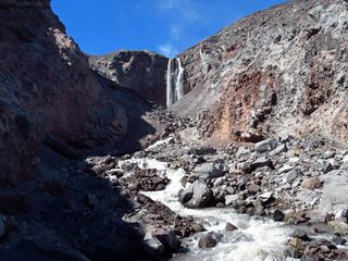 Loowit FallsMonument trail to the falls overlook186 ft (56.7 m) · Skamania County, WA6.1 miNW
- Middle Loowit FallsSkamania County, WA6.2 miNW
- Step FallsMonument trail; the falls are seen from the Loowit Trail near the Loowit Creek ford115 ft (35 m) · Skamania County, WA6.3 miNW
- Lower Step Falls98 ft (30 m) · Skamania County, WA6.4 miNW
- Lower Loowit FallsNational monument trails from Windy Ridge; falls seen from the Loowit Trail ford36 ft (11 m) · Skamania County, WA6.5 miNW
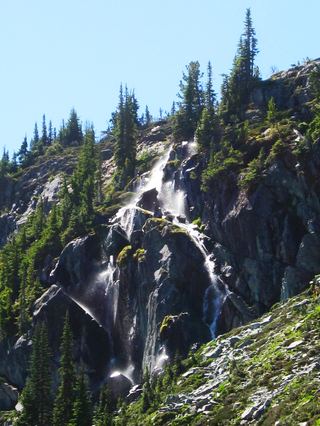 Harmony FallsLakeshore route; original falls submergedSkamania County, WA7.9 miN
- Swift Creek FallsSkamania County, WA8.2 miSW