Carter Falls
Lewis County, Washington
Your visit at a glance
- Waterfall height
- Not recorded
- Location
- Lewis County, Washington
- Access status
- National park trail route and parking documented
- The walk
- 2.2 miles round trip (NPS)
- Ground & access
- Forest trail with 500 feet of elevation gain and a log footbridge over the Nisqually River.
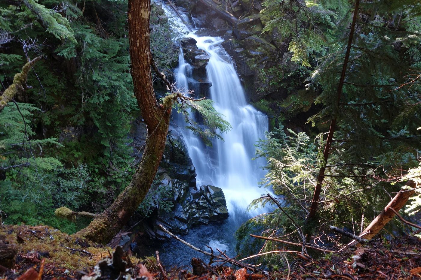
Photo credit
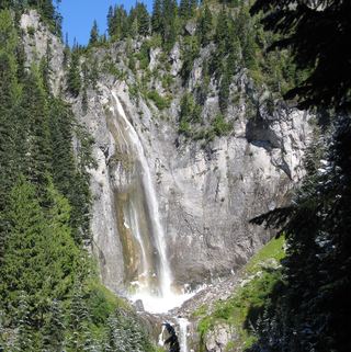
Photo: NPS Photo, Public domain, via Wikimedia CommonsCarter Falls is a horsetail waterfall about 50 feet tall on the Paradise River in Mount Rainier National Park. The trail starts across the road from Cougar Rock Campground, about 2 miles north of Longmire; the Longmire trail sheet says it begins at the paved pullout 100 yards below the campground. Cross the Nisqually River on the log footbridge below the campground and follow the Wonderland Trail upriver toward Paradise to Carter Falls. Madcap Falls is a short distance farther along the trail. Return the same way.
Plan your visit
Carter Falls Trail (part of the Wonderland Trail) from the pullout below Cougar Rock Campground, across the Nisqually River and up the Paradise River to Carter Falls
NPS lists the Carter Falls Trail as 2.2 miles round trip with 500 feet of elevation gain. The NPS waterfall page places the falls 1.1 miles upriver from Cougar Rock Campground.
Forest trail with 500 feet of elevation gain and a log footbridge over the Nisqually River.
Where to start
Paved pullout about 100 yards below Cougar Rock Campground, across the road from the campground, about 2 miles north of Longmire.
Timing & water
NPS says the log footbridge over the Nisqually River can wash out in fall and winter; check conditions before going. The main road to Longmire is open year round. Pets are not allowed on park trails.
Before you go
A Mount Rainier National Park entrance pass is required ($30 per private vehicle, valid for seven consecutive days).
Visitor informationVisit sources
More waterfalls nearby
Within 40 straight-line miles. Road and trail distances will differ.
- Madcap FallsNational park trail to a fenced viewpoint; map placement of the name is disputedLewis County, WA0.0 miNE
 Christine FallsResearched visit notesPierce County, WA1.2 miN
- Nahunta FallsRoadside view in the national park; entrance pass requiredPierce County, WA1.3 miN
 Narada FallsResearched visit notes176 ft (53.6 m) · Lewis County, WA1.3 miNE
- Tato FallsPierce County, WA1.6 miN
- Washington CascadesShort national park trail from a road pullout; park entrance feeLewis County, WA1.7 miNE
- Ruby FallsRoadside and short trail view in the national park; entrance pass requiredLewis County, WA1.7 miNE
 Bloucher FallsNational park trail route and parking documented121 ft (37 m) · Pierce County, WA2.0 miN
 Comet FallsSource-reviewed route and parking302 ft (92 m) · Pierce County, WA2.2 miN