Nahunta Falls
Pierce County, Washington
Your visit at a glance
- Waterfall height
- Not recorded
- Location
- Pierce County, Washington
- Access status
- Roadside view in the national park; entrance pass required
- The walk
- The Northwest Waterfall Survey says to walk up the road a few hundred feet from the pullout
- Ground & access
- Road shoulder; no trail.
Nahunta Falls is a tall series of steep cascades, about 275 feet in all, on a small stream from Cushman Crest, between Van Trump Creek and the Nisqually River in Mount Rainier National Park. It is visible from the park road between Longmire and Paradise. Park in the large pullout just past the Nisqually River bridge and walk up the road a few hundred feet for a good view; only parts of the falls show where the road crosses the stream itself. Brush hides almost half of the falls. Walk along the road edge with care and watch for traffic.
Plan your visit
Roadside view from SR 706 in Mount Rainier National Park, a short walk uphill from the large pullout just past the Nisqually River bridge
The Northwest Waterfall Survey says the best views are about 1/5 mile uphill (east) from the Nisqually River bridge, and that you walk up the road a few hundred feet from the pullout just past the bridge.
Road shoulder; no trail.
Where to start
Large pullout just past (east of) the Nisqually River bridge on SR 706.
Timing & water
The survey says the stream is small and the falls are much less notable by late summer.
Before you go
A Mount Rainier National Park entrance pass is required: $30 per private vehicle for seven days. Passes are sold at the entrance stations by credit or debit card only.
Visitor informationVisit sources
- Northwest Waterfall Survey: Nahunta Falls
- Northwest Waterfall Survey: Nahunta Falls
- Northwest Waterfall Survey: Nahunta Falls
- Northwest Waterfall Survey: Nahunta Falls
- Northwest Waterfall Survey: Nahunta Falls
- National Park Service: Mount Rainier National Park fees and passes
- National Park Service: Mount Rainier National Park fees and passes
More waterfalls nearby
Within 40 straight-line miles. Road and trail distances will differ.
- Tato FallsPierce County, WA0.4 miNE
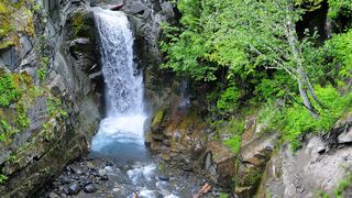 Christine FallsResearched visit notesPierce County, WA0.6 miW
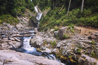 Bloucher FallsNational park trail route and parking documented121 ft (37 m) · Pierce County, WA0.9 miNW
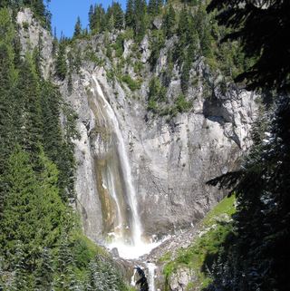 Comet FallsSource-reviewed route and parking302 ft (92 m) · Pierce County, WA1.1 miNW
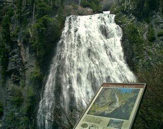 Narada FallsResearched visit notes176 ft (53.6 m) · Lewis County, WA1.1 miSE
- Madcap FallsNational park trail to a fenced viewpoint; map placement of the name is disputedLewis County, WA1.2 miS
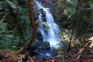 Carter FallsNational park trail route and parking documentedLewis County, WA1.3 miS
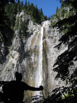 Upper Comet FallsPartial guide: national park trail; distance to this falls not confirmed and the creek crossing has no bridgePierce County, WA1.3 miNW
- Nisqually Valley FallsPierce County, WA1.3 miNE