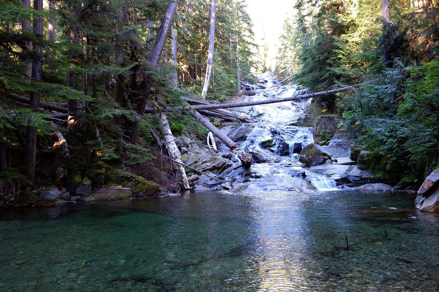
Waterfalls near Enumclaw, WA
52 named waterfalls within 30 miles of Enumclaw, closest first. Distances are straight-line from the town center.
Visits with route details
Read the walking route, starting point and current access notes.
- Victor FallsPartial guide: short walk to a fenced viewpoint; who manages the viewpoint is not statedPierce County, WA
 Chenuis FallsOfficial park route; road access closed until further noticePierce County, WA
- Ranger FallsPartial: park trail documented; the only road access is closed at the Fairfax BridgePierce County, WA
 Ipsut FallsPartial: park trail documented; the only road access is closed at the Fairfax BridgePierce County, WA
- Fifteenmile WaterfallShort creek trail; no nearby legal parking; exact falls not locatedKing County, WA
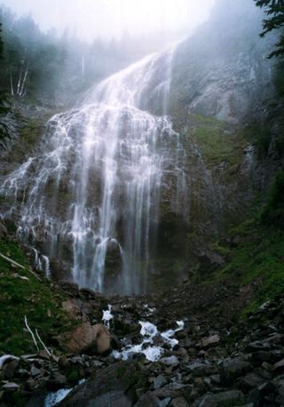 Spray FallsPartial: park trail documented; the only road access is closed at the Fairfax Bridge354 ft (107.9 m) · Pierce County, WA
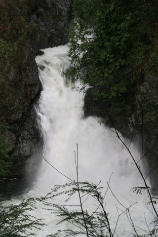 Twin Falls (Upper)State park trail to the bridge and upper overlookKing County, WA
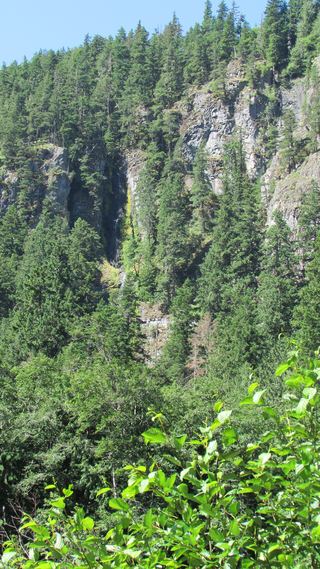 Skookum FallsNorth trailhead parking and return route documented by WTA.Pierce County, WA
- Doughty FallsPartial guide: park trail route assembled from trip reports; no distance to this fallsKing County, WA
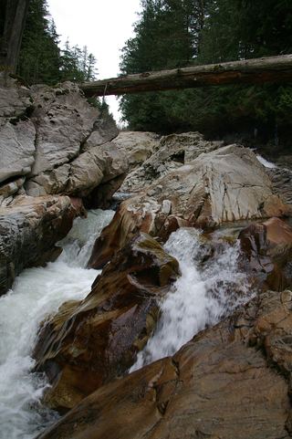 Weeks FallsResearched walking route60 ft (18.3 m) · King County, WA
- Dalles Creek Falls LowerGuide: steep forest trail to a side view of the fallsPierce County, WA
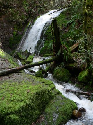 Coal Creek FallsCounty park trail route and trailhead documentedKing County, WA
- Snoquera FallsResearched route and starting areaPierce County, WA
- North Fork FallsShort park trail from the Red Town TrailheadKing County, WA
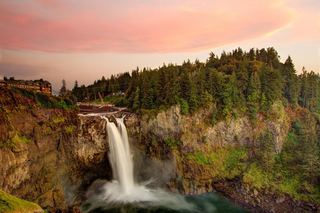 Snoqualmie FallsResearched visit notes268 ft · King County, WA
- Teneriffe FallsSigned DNR trail with steep switchbacks to the falls; Discover Pass requiredKing County, WA
- Denman FallsNational park route documented; long approach on a closed roadPierce County, WA
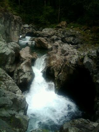 Fantastic FallsClosed to all public access at landowners' request33 ft (10 m) · King County, WA
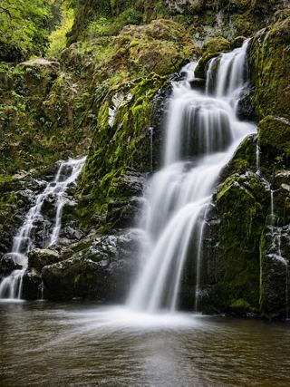 Little Mashel Lower FallsCrushed-rock trail and signed side trail to the lower falls; no pass requiredPierce County, WA
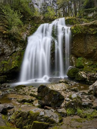 Little Mashel Middle FallsPublic trail from the Bud Blancher Trailhead; steep, slippery final section66 ft (20 m) · Pierce County, WA
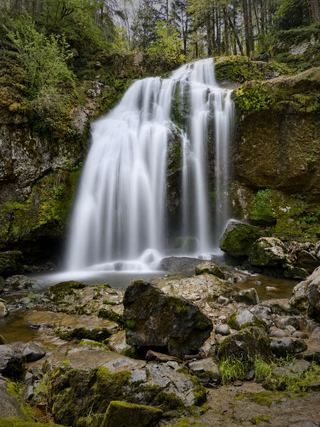 Little Mashel Upper FallsPack Forest trail to a viewpoint of the upper falls; mixed land ownershipPierce County, WA
- Switchback FallsPartial: walk on an active logging road with debris-flow damage near the fallsKing County, WA
- Gossamer FallsLogging road walk on DNR land, then an off-trail scramble; road damaged at the streamKing County, WA
- Kautz Creek FallsNational park trail to a distant viewpoint of the falls at Mildred PointPierce County, WA
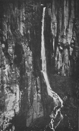 Pearl FallsDistant roadside view only; exact viewing spot not described; summer roadPierce County, WA
- WaterwallPartial guide: garden water feature matched to this listing by description and positionKing County, WA
- Wilson Glacier FallsNational park trail to a distant viewpoint315 ft (96 m) · Pierce County, WA
- Keekwulee FallsNational forest wilderness trail with an unbridged creek ford171 ft (52.1 m) · King County, WA
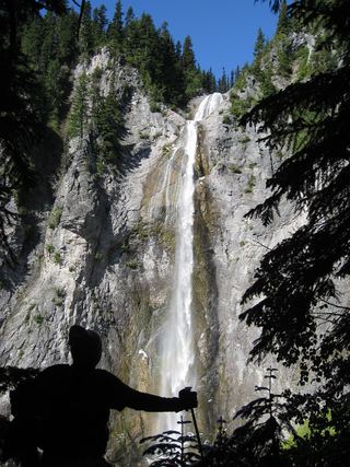 Upper Comet FallsPartial guide: national park trail; distance to this falls not confirmed and the creek crossing has no bridgePierce County, WA
- Snowshoe FallsNational forest wilderness trail with an unbridged creek ford; partial view of the falls150 ft (45.7 m) · King County, WA
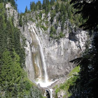 Comet FallsSource-reviewed route and parking302 ft (92 m) · Pierce County, WA
Closest with a photo
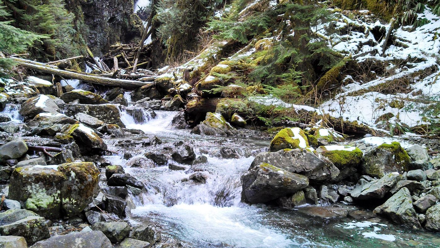
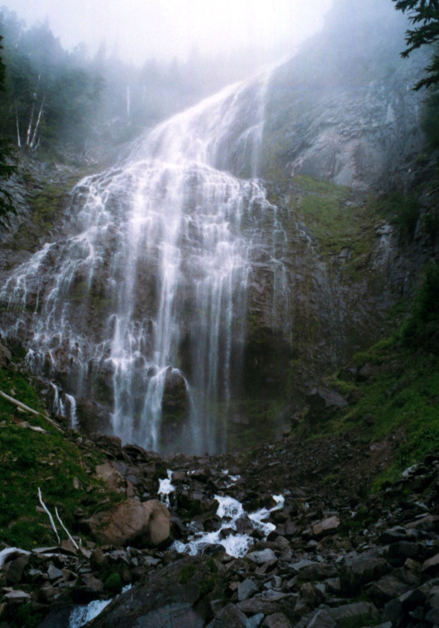
All 52 waterfalls
- Victor FallsPartial guide: short walk to a fenced viewpoint; who manages the viewpoint is not statedPierce County, WA9.9 miSW
- Chenuis FallsOfficial park route; road access closed until further noticePierce County, WA16 miSE
- Ranger FallsPartial: park trail documented; the only road access is closed at the Fairfax BridgePierce County, WA16 miSE
- Ipsut FallsPartial: park trail documented; the only road access is closed at the Fairfax BridgePierce County, WA18 miSE
- Fifteenmile WaterfallShort creek trail; no nearby legal parking; exact falls not locatedKing County, WA19 miN
- Alice FallsPierce County, WA19 miSE
- Cataract FallsPierce County, WA20 miSE
- Cress FallsPierce County, WA20 miSE
- Upper Van Horn FallsPierce County, WA20 miSE
- Van Horn FallsPierce County, WA20 miSE
- Spray FallsPartial: park trail documented; the only road access is closed at the Fairfax Bridge354 ft (107.9 m) · Pierce County, WA21 miS
 Twin Falls (Lower)230 ft (70.1 m) · King County, WA22 miNE
- Twin Falls (Upper)State park trail to the bridge and upper overlookKing County, WA22 miNE
- Giant Falls363 ft (110.6 m) · Pierce County, WA22 miS
- Skookum FallsNorth trailhead parking and return route documented by WTA.Pierce County, WA22 miSE
- Doughty FallsPartial guide: park trail route assembled from trip reports; no distance to this fallsKing County, WA22 miN
- Weeks FallsResearched walking route60 ft (18.3 m) · King County, WA23 miNE
- Dalles Creek Falls LowerGuide: steep forest trail to a side view of the fallsPierce County, WA23 miSE
- Dalles Creek Falls UpperPierce County, WA23 miSE
- Far Country FallsKing County, WA23 miN
- Coal Creek FallsCounty park trail route and trailhead documentedKing County, WA23 miN
- Garda FallsPierce County, WA23 miSE
- Affi FallsPierce County, WA23 miSE
- Snoquera FallsResearched route and starting areaPierce County, WA24 miSE
- North Fork FallsShort park trail from the Red Town TrailheadKing County, WA24 miN
- Snoqualmie FallsResearched visit notes268 ft · King County, WA24 miN
- Teneriffe FallsSigned DNR trail with steep switchbacks to the falls; Discover Pass requiredKing County, WA24 miNE
- Wildcat FallsPierce County, WA25 miSW
- Ethania FallsPierce County, WA26 miS
- Larrupin FallsPierce County, WA26 miS
- Denman FallsNational park route documented; long approach on a closed roadPierce County, WA26 miS
- Fantastic FallsClosed to all public access at landowners' request33 ft (10 m) · King County, WA26 miNE
- Little Mashel Lower FallsCrushed-rock trail and signed side trail to the lower falls; no pass requiredPierce County, WA28 miSW
- Little Mashel Middle FallsPublic trail from the Bud Blancher Trailhead; steep, slippery final section66 ft (20 m) · Pierce County, WA28 miSW
- Little Mashel Upper FallsPack Forest trail to a viewpoint of the upper falls; mixed land ownershipPierce County, WA28 miSW
- Lower Big Blowout FallsKing County, WA28 miNE
- Big Blowout FallsKing County, WA28 miNE
- Vortex FallsKing County, WA28 miNE
- Switchback FallsPartial: walk on an active logging road with debris-flow damage near the fallsKing County, WA29 miNE
- Gossamer FallsLogging road walk on DNR land, then an off-trail scramble; road damaged at the streamKing County, WA29 miNE
- West Van Trump Park FallsPierce County, WA29 miS
- Kautz Creek FallsNational park trail to a distant viewpoint of the falls at Mildred PointPierce County, WA29 miS
- Pearl FallsDistant roadside view only; exact viewing spot not described; summer roadPierce County, WA29 miS
- WaterwallPartial guide: garden water feature matched to this listing by description and positionKing County, WA29 miN
- Wilson Glacier FallsNational park trail to a distant viewpoint315 ft (96 m) · Pierce County, WA29 miSE
Show the other 7 waterfalls, 29 mi to 30 mi away
- East Van Trump Park FallsPierce County, WA29 miS
- Keekwulee FallsNational forest wilderness trail with an unbridged creek ford171 ft (52.1 m) · King County, WA30 miNE
- Upper Comet FallsPartial guide: national park trail; distance to this falls not confirmed and the creek crossing has no bridgePierce County, WA30 miS
- Snowshoe FallsNational forest wilderness trail with an unbridged creek ford; partial view of the falls150 ft (45.7 m) · King County, WA30 miNE
- Denny Camp FallsKing County, WA30 miNE
- Comet FallsSource-reviewed route and parking302 ft (92 m) · Pierce County, WA30 miS
- Raven FallsKing County, WA30 miNE