Ranger Falls
Pierce County, Washington
Your visit at a glance
- Waterfall height
- Not recorded
- Location
- Pierce County, Washington
- Access status
- Partial: park trail documented; the only road access is closed at the Fairfax Bridge
- The walk
- About 1 mile of trail beyond the Green Lake Trailhead, which is 3.2 to 3.6 miles up the former road (National Park Service)
- Ground & access
- Former road, then a steady forest trail. Road and trail washouts occur.
Ranger Falls drops 172 feet in three segments on Ranger Creek in the Carbon River area of Mount Rainier National Park. The National Park Service says there is no access to the Carbon River area by SR 165 until further notice, because the Fairfax Bridge outside the park is closed to vehicles, bicyclists and pedestrians and there is no alternate route. When access is possible, hike or bike the Carbon River Trail (former road) to the Green Lake Trailhead on the right, leave bikes at the rack (bikes are not allowed on trails), and climb the Green Lake Trail about a mile. Several false way trails drop to the left; the true overlook, 200 feet off the trail, is marked by a sign. Return the same way, or continue to Green Lake.
Plan your visit
Carbon River Entrance of Mount Rainier National Park, the Carbon River Trail (former road) to the Green Lake Trailhead, then the Green Lake Trail to the signed Ranger Falls viewpoint spur
National Park Service pages give 3.2 miles and 3.6 miles from the Carbon River Entrance to the Green Lake Trailhead, then 1 mile on the Green Lake Trail to the viewpoint.
Former road, then a steady forest trail. Road and trail washouts occur.
Where to start
Carbon River Entrance, at the end of the road reached by SR 165 from Buckley through Carbonado. The National Park Service reports no access by SR 165 while the Fairfax Bridge is closed, with no alternate route.
Timing & water
The Carbon River Trail is accessible year-round, but road and trail washouts occur. Access depends on the Fairfax Bridge reopening.
Before you go
Mount Rainier National Park entrance pass required (standard pass $15 to $30). WTA lists an America the Beautiful Pass.
Visitor informationVisit sources
More waterfalls nearby
Within 40 straight-line miles. Road and trail distances will differ.
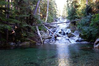 Chenuis FallsOfficial park route; road access closed until further noticePierce County, WA0.8 miNE
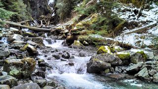 Ipsut FallsPartial: park trail documented; the only road access is closed at the Fairfax BridgePierce County, WA1.4 miSE
- Alice FallsPierce County, WA3.5 miSE
- Cataract FallsPierce County, WA3.5 miSE
- Cress FallsPierce County, WA4.3 miSE
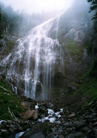 Spray FallsPartial: park trail documented; the only road access is closed at the Fairfax Bridge354 ft (107.9 m) · Pierce County, WA4.8 miS
- Giant Falls363 ft (110.6 m) · Pierce County, WA5.6 miS
- Upper Van Horn FallsPierce County, WA6.2 miE
- Van Horn FallsPierce County, WA6.2 miE