Teneriffe Falls
King County, Washington
Your visit at a glance
- Waterfall height
- Not recorded
- Location
- King County, Washington
- Access status
- Signed DNR trail with steep switchbacks to the falls; Discover Pass required
- The walk
- WTA lists 5.6 miles round trip
- Ground & access
- Loose rock in places and steep drop-offs near the top; keep children close. Steep switchbacks over the last 0.9 mile.
Teneriffe Falls, formerly called Kamikaze Falls, is a three-tier falls of about 390 feet on Teneriffe Creek between Mount Si and Mount Teneriffe, in the Department of Natural Resources Mount Si Natural Resources Conservation Area near North Bend. From the trailhead, follow the gently climbing Mount Teneriffe Trail, a former road, for nearly a mile to the junction signed for Teneriffe Falls and turn right. The grade stays mellow for the first mile, then the last 0.9 mile gains 850 feet on 22 switchbacks. Near the end you get a view of the lower falls; continue up the last switchbacks to a small, mostly flat viewpoint for the upper falls, which has a steep drop-off. Stay on the new trail rather than the old bootleg route beside the stream. Return the same way.
Plan your visit
Mount Teneriffe Trailhead on Mount Si Road, the Mount Teneriffe Trail to the junction signed for Teneriffe Falls, then the switchbacking falls trail to the viewpoint at the upper falls
WTA gives 5.6 miles round trip with 1,585 feet of gain. The Northwest Waterfall Survey gives the first falls sign at about 0.8 mile, another sign at the 2-mile mark, and one more mile of much steeper hiking to the falls.
Loose rock in places and steep drop-offs near the top; keep children close. Steep switchbacks over the last 0.9 mile.
Where to start
Mount Teneriffe Trailhead, a 118-car paved lot on the left of Mount Si Road, 2.9 miles from North Bend Way, past the Little Si and Mount Si trailheads (I-90 Exit 32). Restrooms at the trailhead. The gate typically opens about an hour after dawn and closes about an hour before dusk; current times are posted at the trailhead.
Timing & water
WTA recommends spring, when the trail is snow-free and the falls are at full volume. The survey says the falls shrink and dry out for three to four months in summer.
Before you go
A Discover Pass is required to park.
Visitor informationVisit sources
- Washington Trails Association: Teneriffe Falls
- Washington Trails Association: Teneriffe Falls
- Washington Trails Association: Teneriffe Falls
- Washington Trails Association: Teneriffe Falls
- Washington Trails Association: Teneriffe Falls
- Washington Trails Association: Teneriffe Falls
- Washington Trails Association: Teneriffe Falls
- Washington Department of Natural Resources: Mount Si Natural Resources Conservation Area
- Northwest Waterfall Survey: Teneriffe Falls
- Northwest Waterfall Survey: Teneriffe Falls
More waterfalls nearby
Within 40 straight-line miles. Road and trail distances will differ.
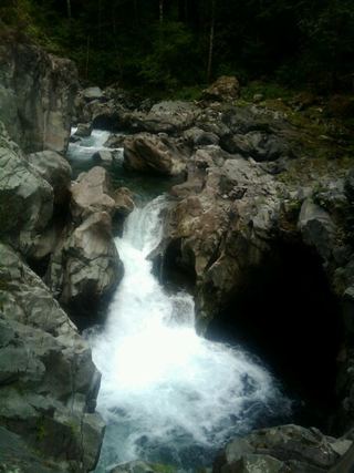 Fantastic FallsClosed to all public access at landowners' request33 ft (10 m) · King County, WA2.8 miNW
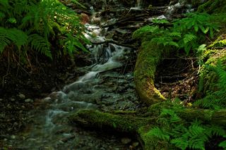 Twin Falls (Lower)230 ft (70.1 m) · King County, WA3.9 miS
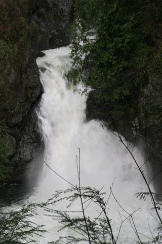 Twin Falls (Upper)State park trail to the bridge and upper overlookKing County, WA4.0 miS
- Big Blowout FallsKing County, WA4.2 miNE
- Lower Big Blowout FallsKing County, WA4.2 miNE
- Vortex FallsKing County, WA4.3 miNE
- Switchback FallsPartial: walk on an active logging road with debris-flow damage near the fallsKing County, WA4.5 miNE
- Gossamer FallsLogging road walk on DNR land, then an off-trail scramble; road damaged at the streamKing County, WA4.6 miNE
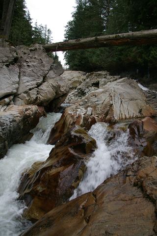 Weeks FallsResearched walking route60 ft (18.3 m) · King County, WA5.6 miSE