Twin Falls (Upper)
King County, Washington
Your visit at a glance
- Waterfall height
- Not recorded
- Location
- King County, Washington
- Access status
- State park trail to the bridge and upper overlook
- The walk
- 2.4 miles round trip to the falls (WTA)
- Ground & access
- Forest trail with two hills, switchbacks and several sets of stairs.
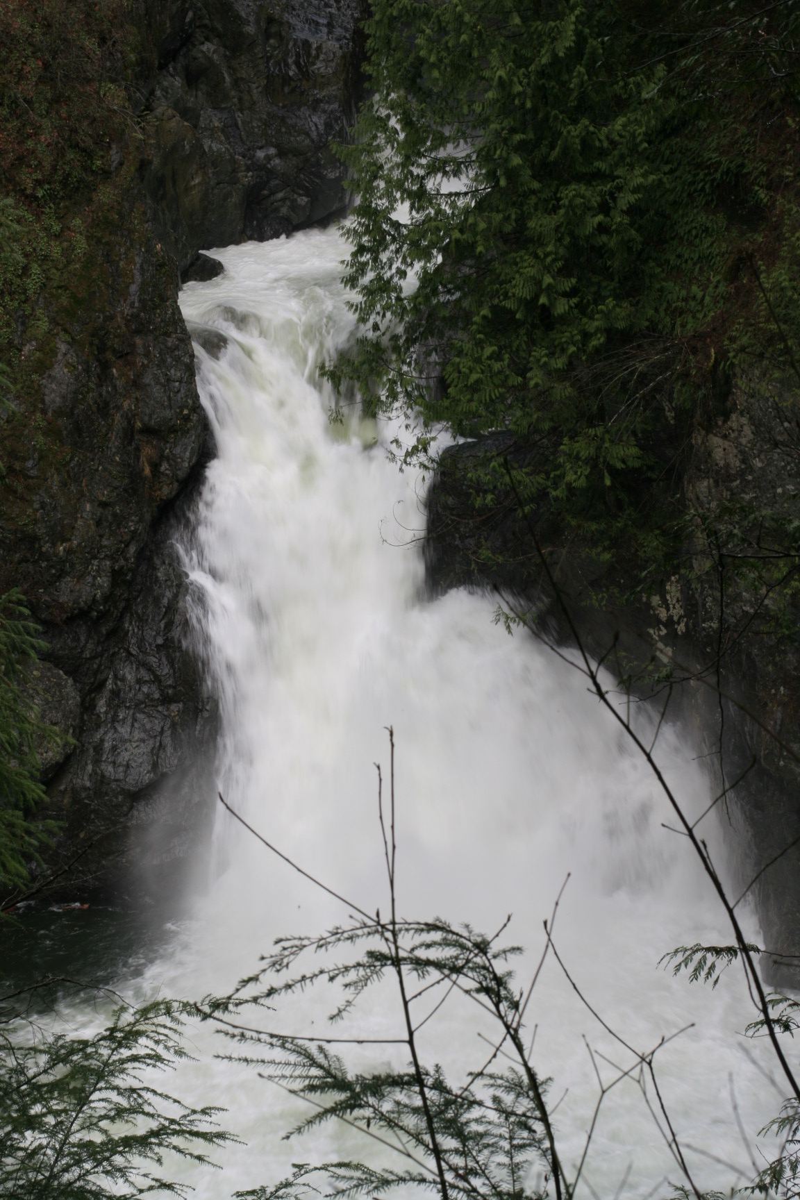
The upper part of Twin Falls is on the South Fork Snoqualmie River in Olallie State Park near North Bend. Above the tall lower drop, the river falls about 45 feet into a pool and then cascades about 25 feet just upstream of a high footbridge (the Big Bridge) that spans the gorge. From the Twin Falls Trailhead, follow the trail beside the river, cross a short bridge over a swampy area, then climb switchbacks to The Benches. Descend past the Big Tree, climb the second hill, and take the final stairs down to the Big Bridge, which looks up at the two upper cascades. A few more stairs and a steep slope lead to the upper overlook for a better view of the upper falls. The topmost tier is mostly hidden from the trail. Return the same way. The trail can also be reached from the Homestead Valley Trailhead (I-90 exit 38) by walking about a third of a mile on the Palouse to Cascades Trail.
Plan your visit
Twin Falls Trailhead in Olallie State Park (I-90 exit 34), Twin Falls Trail along the South Fork Snoqualmie River and over two hills to the Big Bridge and the upper overlook
WTA gives 2.4 miles round trip with 500 feet of elevation gain for the hike to the falls. The trail continues about another mile to the Palouse to Cascades Trail and the Homestead Valley Trailhead.
Forest trail with two hills, switchbacks and several sets of stairs.
Where to start
Twin Falls parking lot at the end of SE 159th Street: from I-90 exit 34 turn right on 468th Avenue SE for a little more than half a mile, then left for another half mile. A Discover Pass can be bought at the lot. Toilet at the trailhead.
Timing & water
Open year round from 6:30 a.m. to dusk; the park is day use only. The Lower Falls Viewpoint on the trail is closed after storm damage; the Big Bridge and upper overlook are separate viewpoints.
Before you go
A Discover Pass is required to park; Washington State Parks lists a one-day pass at $10 and an annual pass at $45.
Visitor informationVisit sources
More waterfalls nearby
Within 40 straight-line miles. Road and trail distances will differ.
 Twin Falls (Lower)230 ft (70.1 m) · King County, WA0.1 miNW
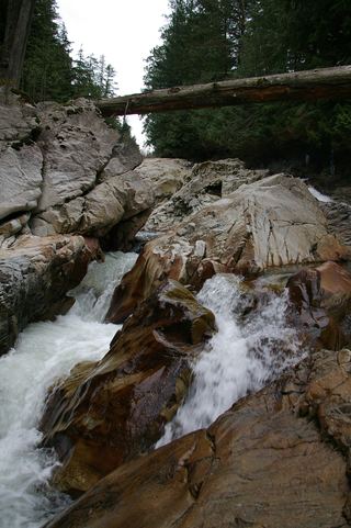 Weeks FallsResearched walking route60 ft (18.3 m) · King County, WA2.5 miE
- Teneriffe FallsSigned DNR trail with steep switchbacks to the falls; Discover Pass requiredKing County, WA4.0 miN
- Lower Big Blowout FallsKing County, WA6.7 miNE
 Fantastic FallsClosed to all public access at landowners' request33 ft (10 m) · King County, WA6.7 miN
- Big Blowout FallsKing County, WA6.7 miNE
- Vortex FallsKing County, WA6.8 miNE
- Switchback FallsPartial: walk on an active logging road with debris-flow damage near the fallsKing County, WA7.0 miNE
- Gossamer FallsLogging road walk on DNR land, then an off-trail scramble; road damaged at the streamKing County, WA7.1 miNE