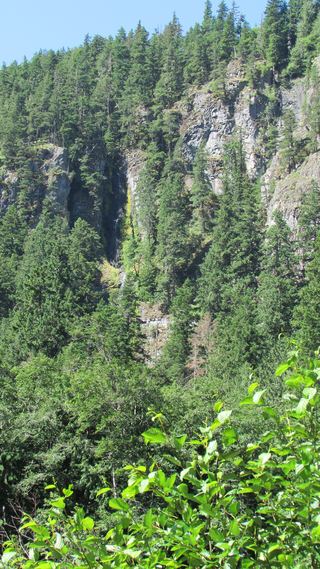
Snoquera Falls
Pierce County, Washington
Your visit at a glance
- Waterfall height
- Not recorded
- Location
- Pierce County, Washington
- Access status
- Researched route and starting area
- The walk
- Official page lists a 0.3-mile connector and falls at mile 1.4 on Trail #1167; full-distance wording is inconsistent.
- Ground & access
- Uphill forest trail, rockslide debris near the falls, steep loose slopes beyond.
Use the public Buck Creek connector to the south side of Snoquera Falls Trail. The optional north-side loop is more difficult.
Plan your visit
Buck Creek Trail #1169 to Snoquera Falls Trail #1167; return the same way
The page also calls the hike about two miles long without a direction basis; no definitive round-trip total supplied.
Uphill forest trail, rockslide debris near the falls, steep loose slopes beyond.
Where to start
Wide lot on the east side of Highway 410, 28.3 miles from Enumclaw, just beyond the Camp Sheppard entrance.
Timing & water
USFS favors April–May; the seasonal stream often dries by July.
Before you go
Reservation requirements and current fees unknown.
Visitor informationVisit sources
More waterfalls nearby
Within 40 straight-line miles. Road and trail distances will differ.
- Dalles Creek Falls LowerGuide: steep forest trail to a side view of the fallsPierce County, WA0.9 miNW
- Dalles Creek Falls UpperPierce County, WA0.9 miNW
 Skookum FallsNorth trailhead parking and return route documented by WTA.Pierce County, WA1.3 miNW
- Van Horn FallsPierce County, WA9.3 miSW
- Upper Van Horn FallsPierce County, WA9.3 miSW
- Affi FallsPierce County, WA9.4 miSW
- North Fork Union Creek FallsPartial: burned trail with washouts and a bridgeless creek crossingYakima County, WA10 miSE
- Garda FallsPierce County, WA12 miSW
- Union Creek FallsResearched route and starting areaYakima County, WA12 miSE