North Fork Union Creek Falls
Yakima County, Washington
Your visit at a glance
- Waterfall height
- Not recorded
- Location
- Yakima County, Washington
- Access status
- Partial: burned trail with washouts and a bridgeless creek crossing
- The walk
- 4.5 miles round trip (WTA)
- Ground & access
- Steep, burned trail with a scree sidehill and washed-out gullies. Flash floods are possible in heavy or sustained rain. No bridge at the North Fork.
North Fork Union Creek Falls, also called North Union Falls, is a set of tiered plunges on the North Fork Union Creek east of Chinook Pass, in the Okanogan-Wenatchee National Forest. The area burned in the Norse Peak Fire. From the Union Creek Trail 956 signboard, take a free wilderness permit from the box. Cross Union Creek on a foot log at 0.2 mile, go left at the unmarked junction and switchback uphill. At 0.25 mile two side trails lead to Union Creek Falls viewpoints. The main trail climbs steeply, then stays near 4,000 feet. Between 1.3 and 1.6 miles, gullies have washed out the trail and it may be impassable. At 2.1 miles the trail reaches the top of the lower cascade, where the fire destroyed the bridge over the North Fork. If you can cross safely (you might have to wade), a side trail upstream leads less than 200 feet to a grotto below the 35-foot upper tier. Return the same way.
Plan your visit
Union Creek Trailhead on SR 410 (milepost 78.6), Union Creek Trail 956 past the Union Creek Falls viewpoints to North Union Falls at the North Fork Union Creek crossing
WTA gives 4.5 miles round trip with 900 feet of gain, including both Union Creek Falls viewpoint side trails. The trail reaches North Union Falls at 2.1 miles.
Steep, burned trail with a scree sidehill and washed-out gullies. Flash floods are possible in heavy or sustained rain. No bridge at the North Fork.
Where to start
Union Creek Trailhead, a paved lot on SR 410 at milepost 78.6, 12.7 miles east of Cayuse Pass: five unrestricted spaces and limited shoulder parking, with a vault toilet.
Timing & water
Not stated. Washouts and flash floods are possible after heavy rain.
Before you go
WTA lists a Northwest Forest Pass or America the Beautiful Pass. A free wilderness permit is self-issued at the trailhead.
Visitor informationVisit sources
More waterfalls nearby
Within 40 straight-line miles. Road and trail distances will differ.
- Union Creek FallsResearched route and starting areaYakima County, WA1.4 miSE
- Bumping River FallsYakima County, WA8.4 miS
- Snoquera FallsResearched route and starting areaPierce County, WA10 miNW
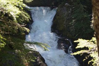 Deer Creek FallsShort official park trail from SR 123; road closed in winterPierce County, WA11 miSW
- Dalles Creek Falls UpperPierce County, WA11 miNW
- Dalles Creek Falls LowerGuide: steep forest trail to a side view of the fallsPierce County, WA11 miNW
- Sydney Falls192 ft (58.5 m) · Pierce County, WA11 miSW
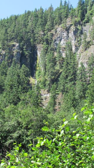 Skookum FallsNorth trailhead parking and return route documented by WTA.Pierce County, WA11 miNW
- Chinook CascadesPierce County, WA12 miSW