Deer Creek Falls
Pierce County, Washington
Your visit at a glance
- Waterfall height
- Not recorded
- Location
- Pierce County, Washington
- Access status
- Short official park trail from SR 123; road closed in winter
- The walk
- 0.4 miles from the trailhead to the Eastside Trail junction, passing the falls, per the National Park Service
- Ground & access
- Forest trail, downhill on the way in and uphill on the way out.
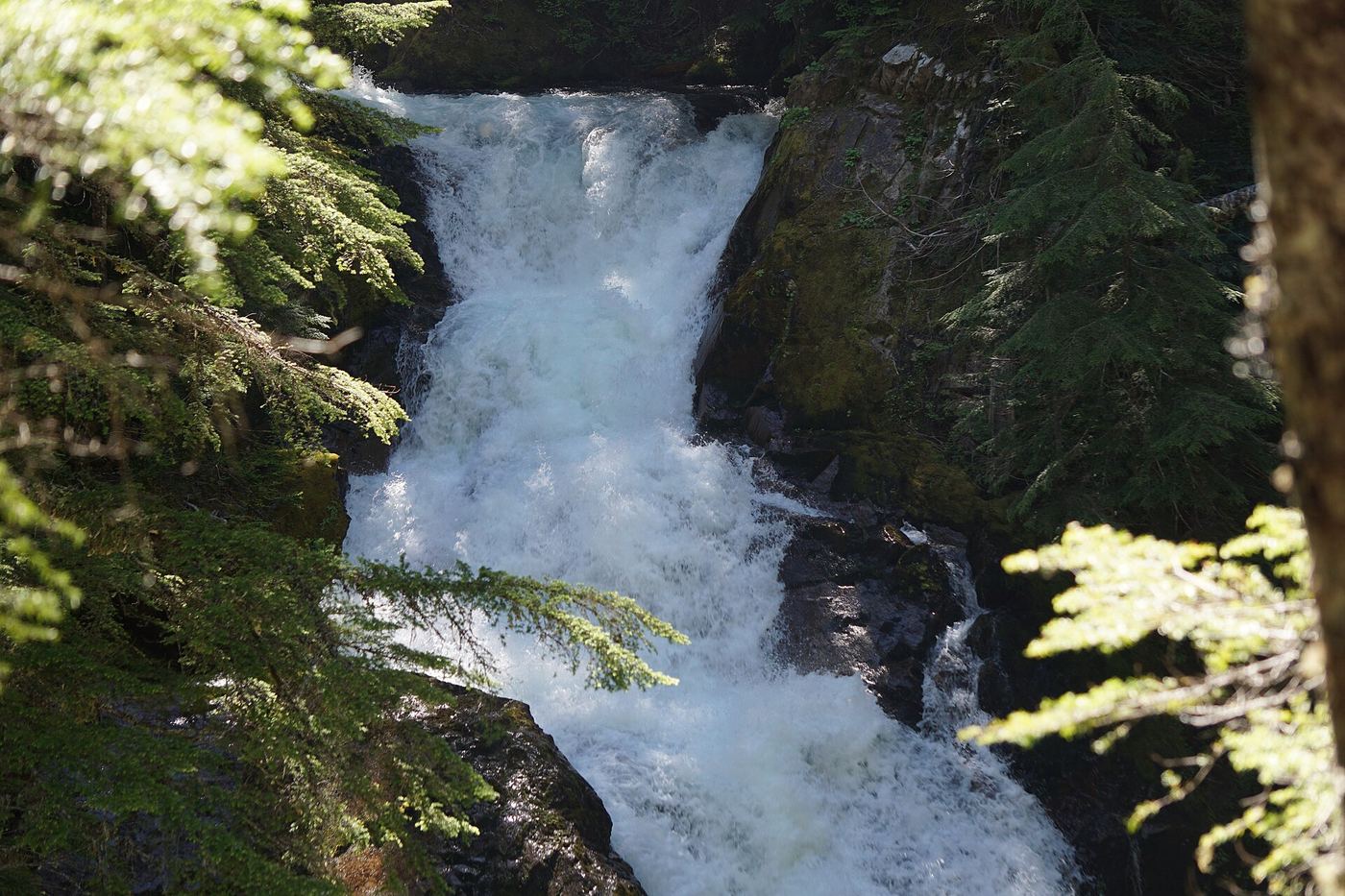
Photo credit
Photo: NPS Photo, Public domain, via Wikimedia CommonsDeer Creek Falls is on Deer Creek just below SR 123 in Mount Rainier National Park. From the Deer Creek/Owyhigh Lakes Trailhead, look for the Owyhigh Lakes Trail sign and follow the trail downhill. The trail passes Deer Creek Falls on the way to the Eastside Trail junction 0.4 miles below the road. Return the same way, uphill.
Plan your visit
Deer Creek/Owyhigh Lakes Trailhead on SR 123, Owyhigh Lakes Trail downhill past Deer Creek Falls toward the Eastside Trail
The National Park Service says to follow the Owyhigh Lakes Trail downhill 0.4 miles past Deer Creek Falls to the Eastside Trail. It does not give the distance to the falls alone.
Forest trail, downhill on the way in and uphill on the way out.
Where to start
Parking area 200 feet south of the Deer Creek/Owyhigh Lakes Trailhead on the east side of SR 123, about 5 miles south of Cayuse Pass.
Timing & water
SR 123 closes in winter, so the trailhead can be reached by car only from about May to October.
Before you go
Washington Trails Association says the Deer Creek to Tipsoo Lake hike from this area needs no parking pass or entrance fee. Pets are not allowed on park trails.
Visitor informationVisit sources
More waterfalls nearby
Within 40 straight-line miles. Road and trail distances will differ.
- Chinook CascadesPierce County, WA0.7 miSW
- Sydney Falls192 ft (58.5 m) · Pierce County, WA1.1 miW
- Stafford FallsNational park trail from a roadside trailhead; steep climb on the returnPierce County, WA1.2 miSW
- Marie FallsPierce County, WA4.6 miSW
- Mary Belle FallsPierce County, WA4.7 miW
- Wauhaukaupauken FallsLong national park trail to a bridge across the fallsPierce County, WA4.8 miW
- Twin FallsPierce County, WA5.3 miSW
- Trixie FallsPierce County, WA5.4 miW
- Basaltic FallsPierce County, WA5.5 miW