Murhut Falls
Jefferson County, Washington
Your visit at a glance
- Waterfall height
- Not recorded
- Location
- Jefferson County, Washington
- Access status
- Route and trailhead parking documented.
- The walk
- 1.6 miles return
- Ground & access
- Gradual ascent, a steeper section, and a narrow final stretch with a drop-off.
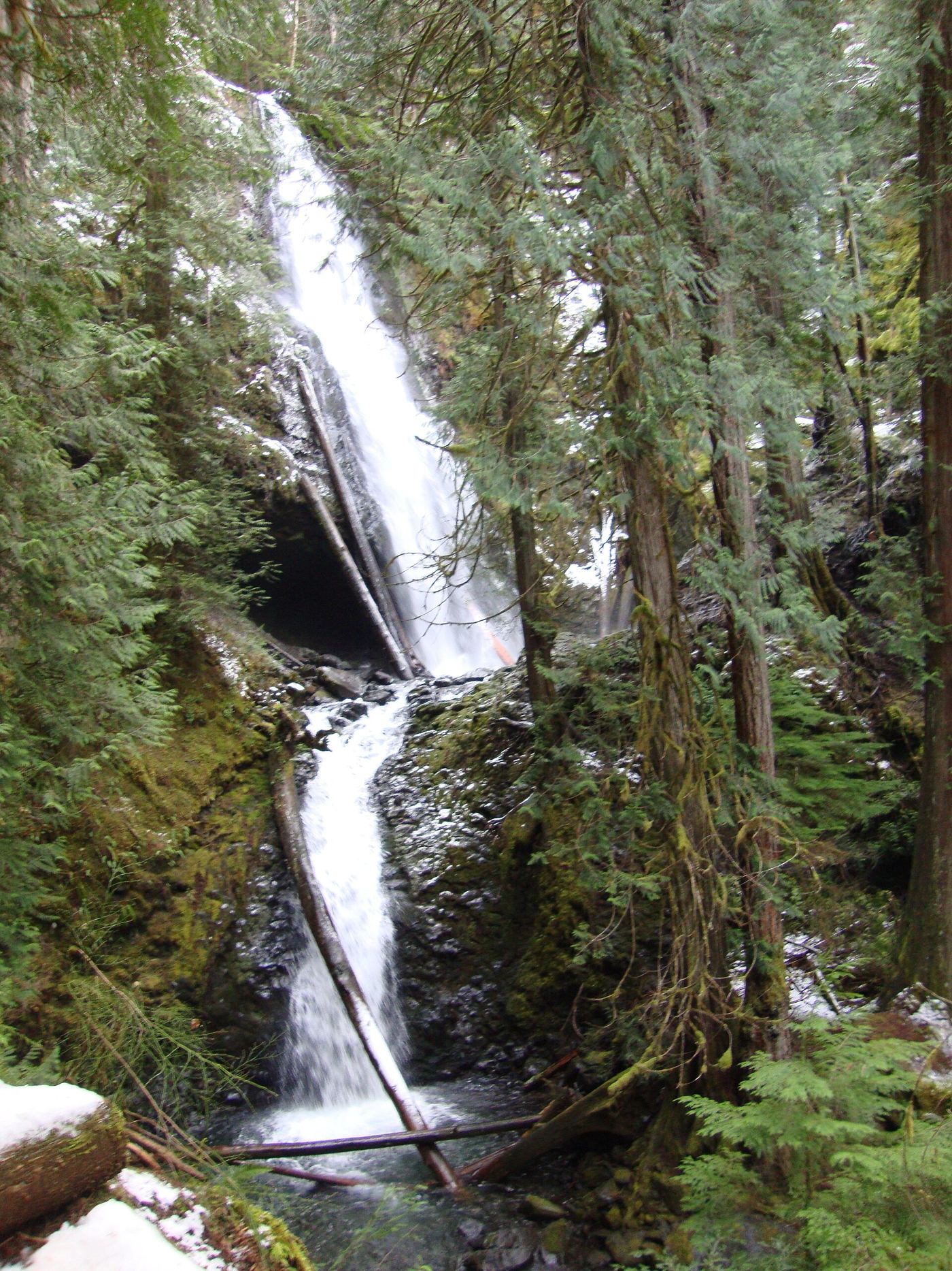
A short forest hike reaches the tiered waterfall in a ravine. Route details come from Washington Trails Association.
Plan your visit
Follow Murhut Falls Trail #828 from the small trailhead parking area to the waterfall and return the same way.
Washington Trails Association gives 1.6 miles roundtrip and 250 feet of elevation gain.
Gradual ascent, a steeper section, and a narrow final stretch with a drop-off.
Where to start
From Quilcene take US 101 south about 16 miles, turn onto Duckabush Road/FR 2510 for 6.2 miles, then right on FR 2530 for 1.3 miles to the small trailhead lot.
Timing & water
The reviewed USFS trailhead page is marked open; conditions can change.
Before you go
The USFS lists no site fee.
Visitor informationMore waterfalls nearby
Within 40 straight-line miles. Road and trail distances will differ.
- Rocky Brook Falls164 ft (50 m) · Jefferson County, WA6.0 miNE
- Whitehorse FallsMason County, WA11 miSW
- Hamma Hamma FallsSource-reviewed route and parkingMason County, WA12 miSW
- Upper Lilliwaup FallsMason County, WA14 miS
- Lilliwaup FallsMason County, WA14 miS
- Dickerson FallsPartial guide: private tree farm open to visitors by owner permissionKitsap County, WA16 miSE
- Ross FallsMason County, WA17 miSW
- Ludlow FallsPartial guide: short interpretive loop; land ownership and parking rules not statedJefferson County, WA23 miNE
- Wynoochee FallsRoute and parking documented by Washington Trails Association.Grays Harbor County, WA26 miSW