Ludlow Falls
Jefferson County, Washington
Your visit at a glance
- Waterfall height
- Not recorded
- Location
- Jefferson County, Washington
- Access status
- Partial guide: short interpretive loop; land ownership and parking rules not stated
- The walk
- 0.6 mile round trip for the loop, per WTA; about a quarter mile to the falls counter-clockwise, per the Northwest Waterfall Survey
- Ground & access
- Short forest loop with some stairs and about 100 feet of elevation change. Fencing at the overlook in places.
Ludlow Falls is a 33-foot series of cascades on Ludlow Creek at the edge of Port Ludlow, near the Hood Canal Bridge. From the trailhead, walk a short way to a junction and go left through fern and moss forest past interpretive signs. At the next junction turn right and go downhill, past an old pumphouse, to the creek, then climb some stairs to the falls overlook, which is fenced in places. Continue across a small bridge and turn left at the first junction to return to the start. Fallen logs and a logjam at the base can clutter the view. Who owns the trail land and the parking area is not stated; WTA lists the Port Ludlow Village Council for this trail.
Plan your visit
Ludlow Falls Interpretive Trail trailhead at the end of the access road off Breaker Lane in Port Ludlow, on the loop trail to the falls overlook
WTA lists the Ludlow Falls Interpretive Trail as 0.6 mile round trip with 100 feet of gain. The Northwest Waterfall Survey says following the loop counter-clockwise reaches the falls in about 1/4 mile.
Short forest loop with some stairs and about 100 feet of elevation change. Fencing at the overlook in places.
Where to start
From Highway 104 just northwest of the Hood Canal Bridge, take Paradise Bay Road nearly 6 miles, turn left on Breaker Lane, take the first left and follow the access road to the small parking area at its end. The Northwest Waterfall Survey says this is the second right off Breaker Lane, past the entrance to the Port Ludlow RV Park.
Timing & water
WTA calls this a year-round trail. Flow drops a lot by midsummer.
Before you go
WTA lists no parking pass or entry fee.
Visitor informationVisit sources
More waterfalls nearby
Within 40 straight-line miles. Road and trail distances will differ.
- Rocky Brook Falls164 ft (50 m) · Jefferson County, WA17 miSW
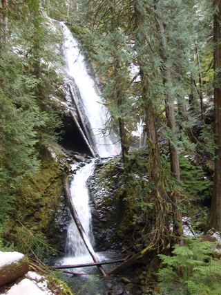 Murhut FallsRoute and trailhead parking documented.Jefferson County, WA23 miSW
- Dickerson FallsPartial guide: private tree farm open to visitors by owner permissionKitsap County, WA24 miS
- WaterwallPartial guide: garden water feature matched to this listing by description and positionKing County, WA33 miSE
- Whitehorse FallsMason County, WA34 miSW
- Hamma Hamma FallsSource-reviewed route and parkingMason County, WA35 miSW
- Upper Lilliwaup FallsMason County, WA36 miSW
- Lilliwaup FallsMason County, WA36 miSW
- McCauley FallsDistant roadside view only; the falls are on private land and a closer visit needs the owners' permissionKing County, WA37 miE