Hamma Hamma Falls
Mason County, Washington
Your visit at a glance
- Waterfall height
- Not recorded
- Location
- Mason County, Washington
- Access status
- Source-reviewed route and parking
- The walk
- Roadside view; no measured walk
- Ground & access
- Bridge viewpoint; nearby cliffs are steep and unguarded.
Northwest Waterfall Survey describes views over the top of the falls from the high concrete bridge near Mildred Lakes Trailhead. Its direct-view path is steep, narrow and beside unguarded cliffs; this guide does not endorse descending it.
Plan your visit
Hamma Hamma River bridge viewpoint
Only the stated source distance is supported; mapped proximity is not a walking distance.
Bridge viewpoint; nearby cliffs are steep and unguarded.
Where to start
The survey identifies a large pullout immediately before the bridge, reached via Hamma Hamma Road and the Lena Lake turn. Current road conditions are not verified.
Timing & water
Current access and seasonal conditions require confirmation with the land manager.
Before you go
Unknown: current fees or reservation requirements were not established in the reviewed source.
Visitor informationVisit sources
More waterfalls nearby
Within 40 straight-line miles. Road and trail distances will differ.
- Whitehorse FallsMason County, WA1.4 miN
- Ross FallsMason County, WA5.0 miW
- Upper Lilliwaup FallsMason County, WA9.7 miSE
- Lilliwaup FallsMason County, WA9.9 miSE
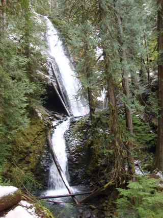 Murhut FallsRoute and trailhead parking documented.Jefferson County, WA12 miNE
- Wynoochee FallsRoute and parking documented by Washington Trails Association.Grays Harbor County, WA14 miSW
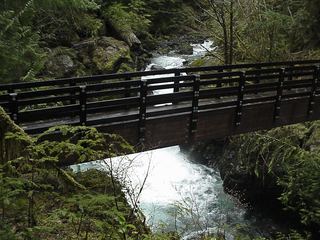 Maidenhair FallsResearched walking routeGrays Harbor County, WA16 miSW
- Rocky Brook Falls164 ft (50 m) · Jefferson County, WA18 miNE
- Spoon Creek FallsResearched visit notesGrays Harbor County, WA21 miSW