Maidenhair Falls
Grays Harbor County, Washington
Your visit at a glance
- Waterfall height
- Not recorded
- Location
- Grays Harbor County, Washington
- Access status
- Researched walking route
- The walk
- 1 mile return
- Ground & access
- Narrow forest trail; bridge viewpoint.
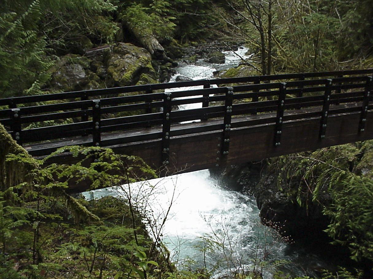
Photo credit
Photo: U.S. Forest Service- Pacific Northwest Region, Public domain, via Wikimedia CommonsUSFS confirms the northern lakeshore route; WTA describes the short bridge-view hike and roadside parking.
Plan your visit
Maidenhair Falls via northern Wynoochee Lake Shore Trail
WTA lists 1 mile round-trip and 100 feet of elevation gain. USFS does not publish a route length here.
Narrow forest trail; bridge viewpoint.
Where to start
WTA: about six miles past the Coho Campground turnoff, turn left onto the spur after a yellow gate, cross the bridge, then take the next left. Trail is about 50 feet along on the right; leave passing room when parking.
Timing & water
Current USFS page marks site open; winter road conditions not specified.
Before you go
USFS says no fee; WTA lists a recreation pass. Follow current manager instructions and posted signs.
Visitor informationVisit sources
More waterfalls nearby
Within 40 straight-line miles. Road and trail distances will differ.
- Wynoochee FallsRoute and parking documented by Washington Trails Association.Grays Harbor County, WA2.1 miNE
- Spoon Creek FallsResearched visit notesGrays Harbor County, WA6.8 miS
- Merriman FallsRoadside waterfall on South Shore Road40 ft (12.2 m) · Grays Harbor County, WA11 miW
- Ross FallsMason County, WA12 miNE
- Cascade FallsShort national forest loop from the Quinault Ranger StationGrays Harbor County, WA13 miW
- Hamma Hamma FallsSource-reviewed route and parkingMason County, WA16 miNE
- Whitehorse FallsMason County, WA17 miNE
- Upper Lilliwaup FallsMason County, WA21 miE
- Lilliwaup FallsMason County, WA21 miE