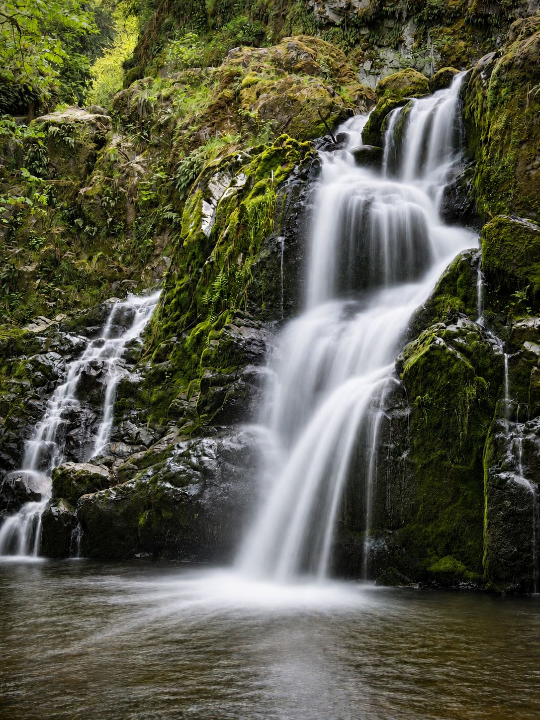
Waterfalls near Joint Base Lewis McChord, WA
10 named waterfalls within 30 miles of Joint Base Lewis McChord, closest first. Distances are straight-line from the town center.
Visits with route details
Read the walking route, starting point and current access notes.
- Victor FallsPartial guide: short walk to a fenced viewpoint; who manages the viewpoint is not statedPierce County, WA
- Deschutes FallsCounty park path to a railed viewing deckThurston County, WA
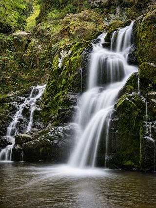 Little Mashel Lower FallsCrushed-rock trail and signed side trail to the lower falls; no pass requiredPierce County, WA
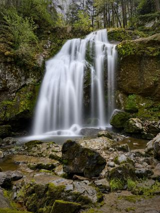 Little Mashel Middle FallsPublic trail from the Bud Blancher Trailhead; steep, slippery final section66 ft (20 m) · Pierce County, WA
 Little Mashel Upper FallsPack Forest trail to a viewpoint of the upper falls; mixed land ownershipPierce County, WA
- Kennedy FallsPrivate land open for walking; long logging road walk and an unmaintained footpathThurston County, WA
- Mima FallsState forest trail loop from a signed trailhead; Discover PassThurston County, WA
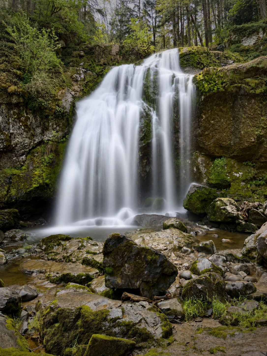
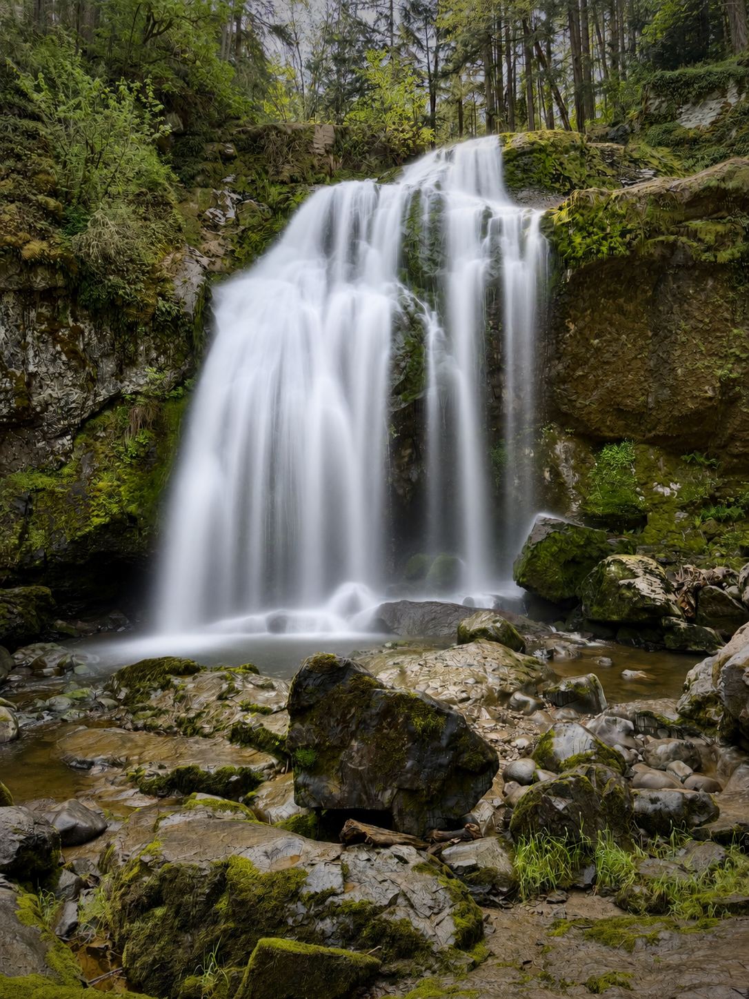
Closest with a photo
All 10 waterfalls
- Nisqually FallsPierce County, WA9.8 miS
- Victor FallsPartial guide: short walk to a fenced viewpoint; who manages the viewpoint is not statedPierce County, WA19 miE
- Wildcat FallsPierce County, WA22 miSE
- Deschutes FallsCounty park path to a railed viewing deckThurston County, WA22 miS
- Little Mashel Lower FallsCrushed-rock trail and signed side trail to the lower falls; no pass requiredPierce County, WA23 miSE
- Little Mashel Middle FallsPublic trail from the Bud Blancher Trailhead; steep, slippery final section66 ft (20 m) · Pierce County, WA23 miSE
- Little Mashel Upper FallsPack Forest trail to a viewpoint of the upper falls; mixed land ownershipPierce County, WA23 miSE
- Bloody FallsThurston County, WA23 miS
- Kennedy FallsPrivate land open for walking; long logging road walk and an unmaintained footpathThurston County, WA26 miW
- Mima FallsState forest trail loop from a signed trailhead; Discover PassThurston County, WA28 miSW