Lower Falls
Clark County, Washington
Your visit at a glance
- Waterfall height
- 30 ft (9.1 m)
- Location
- Clark County, Washington
- Access status
- County park trail from the 3rd Avenue trailhead
- The walk
- Under a mile from the 3rd Avenue trailhead; no exact figure is published to the falls
- Ground & access
- Wide gravel and dirt trail with gentle ups and downs; the McEnry Trail climbs steeply beyond the viewpoints. Trails can be muddy in winter.
Lower Falls is a broad slide falls on Lacamas Creek in Lacamas Regional Park, Camas, where the creek slides about 45 feet over a long domed rock face. From the Lacamas Creek Trailhead, follow the gated road and trail north above the creek; trails joining from the left lead to the Saint Thomas Aquinas Trailhead. After about 0.7 mile you hear Lower Falls and reach the steel McEnry Bridge over the creek at the top of the falls. For a better view, cross the bridge and turn right on the McEnry Trail, which has a couple of viewpoints of the falls. Return the same way, or continue on a loop past Pothole Falls and Round Lake. The park has many unmarked side trails; carry a map.
Plan your visit
Lacamas Creek Trailhead off 3rd Avenue in Camas, north along the Lacamas Creek trail in Lacamas Regional Park to Lower Falls and the McEnry Bridge above it
Oregon Hikers describes the first 0.7 mile of trail from the 3rd Avenue trailhead, after which you hear Lower Falls and reach the McEnry Bridge; it gives no exact figure to the falls. Its full loop through the park is 4.1 miles round trip.
Wide gravel and dirt trail with gentle ups and downs; the McEnry Trail climbs steeply beyond the viewpoints. Trails can be muddy in winter.
Where to start
Lacamas Creek Trailhead: on 3rd Avenue in Camas, just before the bridge over Lacamas Creek, turn left and drive down to the gravel lot. If it is full, use the Saint Thomas Aquinas Trailhead. The main park entrance and Round Lake lot are at 3344 NE Everett Street.
Timing & water
Clark County lists park hours of 7 a.m. to dusk. Trail sections can close for bridge work; check the county park page.
Before you go
WTA lists no parking pass or entry fee.
Visitor informationVisit sources
More waterfalls nearby
Within 40 straight-line miles. Road and trail distances will differ.
- Woodburn FallsPark paths and a short dirt path to a seasonal falls20 ft (6 m) · Clark County, WA0.1 miN
- Pothole FallsCounty park trail to a fenced viewpoint; view partly blocked by foliage20 ft (6 m) · Clark County, WA0.4 miW
- Belle Center FallsSkamania County, WA8.8 miE
- Teakettle FallsSkamania County, WA9.4 miNE
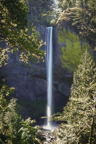 Latourell FallsResearched visit notes224 ft lower falls · Multnomah County, OR9.5 miSE
- Upper Latourell FallsState park loop trail to the base of the upper falls120 ft (36.5 m) · Multnomah County, OR9.6 miSE
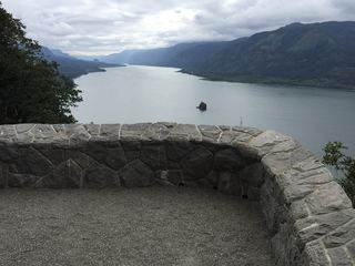 Cape Horn FallsGuide: Gorge loop to a bridge in front of the falls; seasonal falcon closure597 ft (182 m) · Skamania County, WA9.7 miE
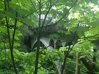 Shepperd's Dell FallsShort paved path from a roadside pullout82 ft (25 m) · Multnomah County, OR10 miE
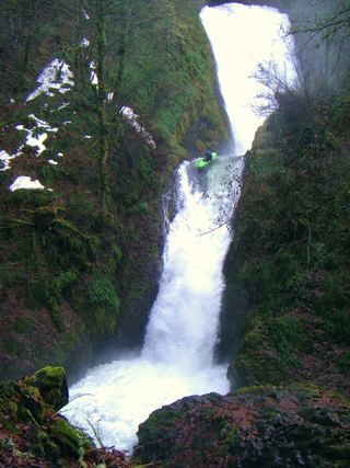 Bridal Veil FallsResearched visit notes118 ft (36 m) · Multnomah County, OR11 miE