Woodburn Falls
Clark County, Washington
Your visit at a glance
- Waterfall height
- 20 ft (6 m)
- Location
- Clark County, Washington
- Access status
- Park paths and a short dirt path to a seasonal falls
- The walk
- About 1 mile from the trailhead (Waterfalls Northwest)
- Ground & access
- Paved paths, a service road and a dirt path. The last section is steep and very muddy in winter, and the descent to the creek is deep and treacherous.
Woodburn Falls is a seasonal 20-foot falls on Woodburn Creek in Lacamas Regional Park, in Camas. From the Lacamas Park lot, follow the paved paths downstream for half a mile to Pothole Falls, crossing the dam that holds back Round Lake on the way. Just past Pothole Falls, take the service road on the left for a third of a mile, then a poorly signed but obvious path on the right for a quarter mile to the falls. Oregon Hikers says the viewpoint above the creek is good enough, because the descent to the creek is deep and treacherous. Return the same way.
Plan your visit
Lacamas Park lot on Highway 500, paved paths downstream past the Round Lake dam to Pothole Falls, a service road, then a path on the right to the falls
Waterfalls Northwest gives half a mile to Pothole Falls, a third of a mile on the service road and a quarter mile on the path, a total of about a mile from the trailhead to the falls.
Paved paths, a service road and a dirt path. The last section is steep and very muddy in winter, and the descent to the creek is deep and treacherous.
Where to start
Small parking lot signed Lacamas Park on the right side of Highway 500, a little over 2 1/2 miles north of Highway 14, just before the road crosses Lacamas Creek.
Timing & water
Seasonal. Oregon Hikers says the falls start with the October rains and dry up by the end of June or early July.
Before you go
No fee is mentioned.
Visitor informationVisit sources
More waterfalls nearby
Within 40 straight-line miles. Road and trail distances will differ.
- Lower FallsCounty park trail from the 3rd Avenue trailhead30 ft (9.1 m) · Clark County, WA0.1 miS
- Pothole FallsCounty park trail to a fenced viewpoint; view partly blocked by foliage20 ft (6 m) · Clark County, WA0.4 miW
- Belle Center FallsSkamania County, WA8.9 miE
- Teakettle FallsSkamania County, WA9.4 miNE
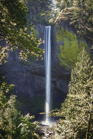 Latourell FallsResearched visit notes224 ft lower falls · Multnomah County, OR9.5 miSE
- Upper Latourell FallsState park loop trail to the base of the upper falls120 ft (36.5 m) · Multnomah County, OR9.6 miSE
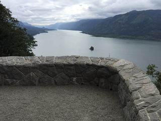 Cape Horn FallsGuide: Gorge loop to a bridge in front of the falls; seasonal falcon closure597 ft (182 m) · Skamania County, WA9.7 miE
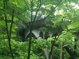 Shepperd's Dell FallsShort paved path from a roadside pullout82 ft (25 m) · Multnomah County, OR10 miE
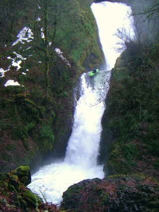 Bridal Veil FallsResearched visit notes118 ft (36 m) · Multnomah County, OR11 miE