Nooksack Falls
Whatcom County, Washington
Your visit at a glance
- Waterfall height
- 89 ft (27 m)
- Location
- Whatcom County, Washington
- Access status
- Short trail to a fenced viewpoint above the falls; stay behind the fence
- The walk
- A short trail from the parking area; no distance is given
- Ground & access
- Short trail to a fenced rocky viewpoint above a gorge.
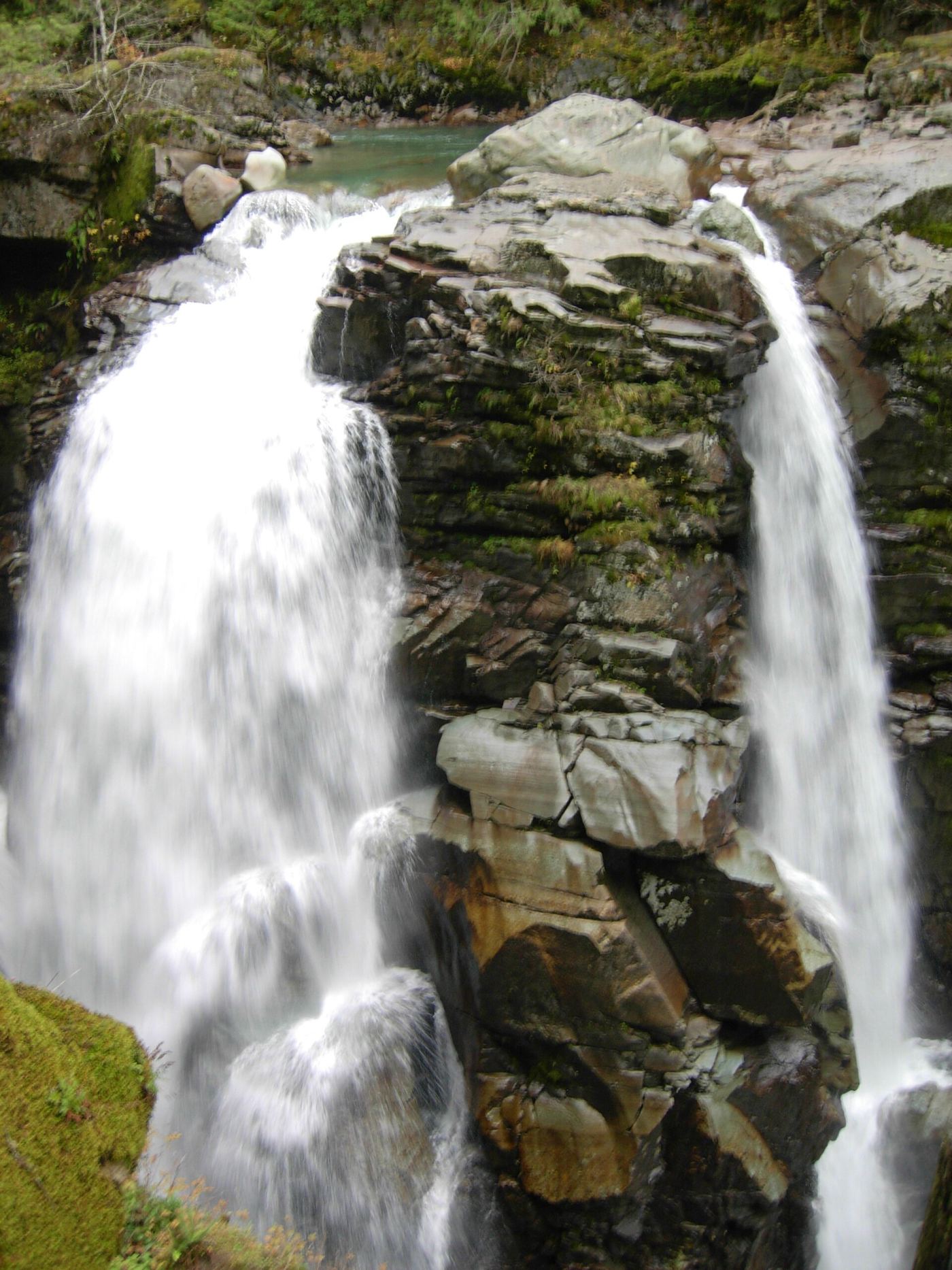
Nooksack Falls is an 88-foot falls on the North Fork Nooksack River in the Mount Baker-Snoqualmie National Forest, east of Glacier. From the parking area, take the short trail on the right side of the road to a rocky outcrop above the falls. The edge is fenced, and the viewpoint is as close as you can get. Do not cross the river on Wells Creek Road, or you will pass the falls. Signs at the site recall the many people who have died trying to get a better view; the survey says there is no safe way to reach the bottom of the falls from the parking lot and road. Return the same way.
Plan your visit
Parking area on Wells Creek Road (Forest Road 33) off Highway 542, then the short trail on the right side of the road to the fenced viewpoint above the falls
WTA and the Northwest Waterfall Survey describe a short trail from the parking area to the viewpoint and give no distance.
Short trail to a fenced rocky viewpoint above a gorge.
Where to start
Parking area on the left of Wells Creek Road (Forest Road 33), 0.6 mile from Highway 542; the turnoff is 7.4 miles east of the town of Glacier and is signed for Nooksack Falls.
Timing & water
No seasonal closure is mentioned.
Before you go
WTA lists no parking pass or entry fee.
Visitor informationVisit sources
- Washington Trails Association: Nooksack Falls
- Washington Trails Association: Nooksack Falls
- Washington Trails Association: Nooksack Falls
- Washington Trails Association: Nooksack Falls
- Northwest Waterfall Survey: Nooksack Falls
- Northwest Waterfall Survey: Nooksack Falls
- Northwest Waterfall Survey: Nooksack Falls
- Northwest Waterfall Survey: Nooksack Falls
More waterfalls nearby
Within 40 straight-line miles. Road and trail distances will differ.
- Mazama FallsWhatcom County, WA4.9 miSE
- Canyon creek rapidsWhatcom County, WA8.3 miW
- Rainbow FallsFormer viewpoint damaged; current approach unverified157 ft (48 m) · Whatcom County, WA11 miSE
- Upper Morovitz FallsRoadside falls on a forest road; one source, current road status not confirmedWhatcom County, WA11 miSE
- Lower Morovitz FallsWhatcom County, WA12 miSE
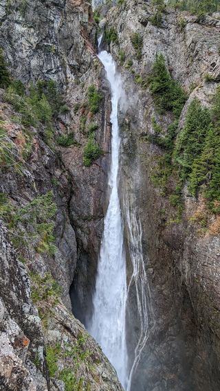 Sulphide Creek FallsWhatcom County, WA13 miSE
- Racehorse FallsWhatcom County, WA14 miW
- Berdeen Falls899 ft (274 m) · Whatcom County, WA20 miSE
- Upper Green Lake Falls92 ft (28 m) · Whatcom County, WA20 miSE