Upper Morovitz Falls
Whatcom County, Washington
Your visit at a glance
- Waterfall height
- Not recorded
- Location
- Whatcom County, Washington
- Access status
- Roadside falls on a forest road; one source, current road status not confirmed
- The walk
- Roadside; no walk is described
- Ground & access
- Roadside view from a gravel forest road.
Upper Morovitz Falls is a 40-foot bow-tie shaped falls in a narrow gully beside National Forest Road 1130 in the Baker Lake area, Mount Baker-Snoqualmie National Forest. From US 20 at Birdsview, take the signed Baker Lake road (Road 11) for 18.5 miles to the Boulder Creek bridge. Just past the bridge turn left on Road 1130 and drive 5.5 miles, 1.1 miles past the Rainbow Falls overlook, to the second crossing of Morovitz Creek. The falls nearly spray onto the road before entering a culvert. Views of Mount Shuksan are a few hundred feet further up the road.
Plan your visit
Roadside on National Forest Road 1130 at its second crossing of Morovitz Creek, east of Mount Baker
The Northwest Waterfall Survey describes the falls beside the road at the creek crossing, with parking on the far side of the creek. No walking distance is given.
Roadside view from a gravel forest road.
Where to start
Parking on the far side of Morovitz Creek beside Road 1130.
Timing & water
Morovitz Creek has a very small drainage. The Northwest Waterfall Survey says the falls show well from late April to early July and drop to a trickle or dry up once snow on the ridge has melted.
Before you go
No fee is mentioned.
Visitor informationVisit sources
More waterfalls nearby
Within 40 straight-line miles. Road and trail distances will differ.
- Lower Morovitz FallsWhatcom County, WA0.3 miSE
- Rainbow FallsFormer viewpoint damaged; current approach unverified157 ft (48 m) · Whatcom County, WA0.6 miNE
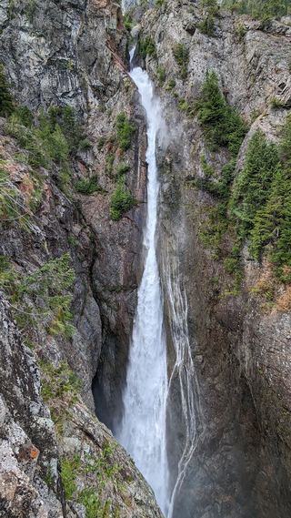 Sulphide Creek FallsWhatcom County, WA5.4 miNE
- Mazama FallsWhatcom County, WA6.6 miNW
- Bacon Lake Falls446 ft (136 m) · Whatcom County, WA9.6 miSE
- Upper Green Lake Falls92 ft (28 m) · Whatcom County, WA9.7 miSE
- Green Lake Falls981 ft (299 m) · Whatcom County, WA9.9 miSE
- Berdeen Falls899 ft (274 m) · Whatcom County, WA9.9 miSE
- Middle Berdeen Falls85 ft (26 m) · Whatcom County, WA10 miE