Sol Duc Falls
Clallam County, Washington
Your visit at a glance
- Waterfall height
- 46 ft (14 m)
- Location
- Clallam County, Washington
- The walk
- 0.8 mile one way; 1.6 miles return calculated
- Ground & access
- Relatively level forest trail, with 200 ft gain listed by NPS. Full wheelchair suitability is not verified.
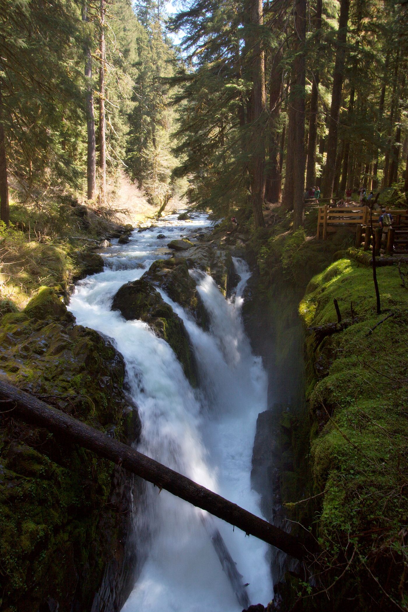
Walk through old forest from the road-end trailhead to designated falls viewing areas.
Plan your visit
Sol Duc Falls Trail from the road-end lot
The NPS area brochure gives 0.8 mile one way and 200 ft gain. The 6-mile Lover’s Lane loop is a different route.
Relatively level forest trail, with 200 ft gain listed by NPS. Full wheelchair suitability is not verified.
Where to start
Use the parking lot at the end of Sol Duc Road.
Timing & water
Road listed open when checked October 27, 2026. Winter snow and ice can close Sol Duc Road.
Before you go
Current day-use booking requirements are not specified in the opened sources; confirm with the park.
Visitor informationVisit sources
More waterfalls nearby
Within 40 straight-line miles. Road and trail distances will differ.
- Lover's Lane FallsNational park trail to a bridge above the falls; entrance pass requiredClallam County, WA0.3 miW
- Mineral Creek FallsNational park trail to a bridge view of the falls; entrance pass requiredJefferson County, WA6.4 miSW
 Salmon CascadesRoadside parking and a short path to a viewing deck; entrance pass requiredClallam County, WA6.9 miNW
 Marymere FallsResearched visit notes92 ft (28 m) · Clallam County, WA7.0 miN
- Madison FallsShort paved national park trail49 ft (15 m) · Clallam County, WA12 miNE
- Service FallsJefferson County, WA15 miSE
- Merriman FallsRoadside waterfall on South Shore Road40 ft (12.2 m) · Grays Harbor County, WA31 miS
- Cascade FallsShort national forest loop from the Quinault Ranger StationGrays Harbor County, WA34 miS
- Ross FallsMason County, WA34 miSE