Lover's Lane Falls
Clallam County, Washington
Your visit at a glance
- Waterfall height
- Not recorded
- Location
- Clallam County, Washington
- Access status
- National park trail to a bridge above the falls; entrance pass required
- The walk
- The Northwest Waterfall Survey gives about 1.2 miles from the trailhead to the Canyon Creek bridge
- Ground & access
- Wide, well-maintained forest path to Sol Duc Falls, then forest trail. A clear view needs a short push through thick brush off trail.
Lover's Lane Falls is a 53-foot falls where Canyon Creek drops into the gorge of the Sol Duc River, about a quarter mile downstream from Sol Duc Falls in Olympic National Park. The survey named it for the Lover's Lane Trail. From the trailhead at the end of Sol Duc Road, follow the wide path through old-growth forest to Sol Duc Falls at 0.8 mile and cross the river on the bridge. Turn right on the Deer Lake Trail, then after a short distance branch right onto the Lover's Lane Trail and follow it to the bridge over Canyon Creek. The falls are just downstream of the bridge. The survey says a clear view requires pushing through head-high huckleberry on the east side of the creek, off trail. A smaller 13-foot cascade is just upstream of the bridge. Return the same way, or continue down the Lover's Lane Trail toward Sol Duc Hot Springs Resort.
Plan your visit
Sol Duc trailhead at the end of Sol Duc Road, the Sol Duc Falls trail to the bridge, then the Deer Lake Trail and the Lover's Lane Trail to the bridge over Canyon Creek
The Northwest Waterfall Survey gives 0.8 mile to Sol Duc Falls and about 1.2 miles in total from the trailhead to the Lover's Lane Trail bridge over Canyon Creek, with the falls just downstream. WTA also gives 0.8 mile to Sol Duc Falls.
Wide, well-maintained forest path to Sol Duc Falls, then forest trail. A clear view needs a short push through thick brush off trail.
Where to start
Trailhead parking lot at the end of Sol Duc Road, 14 miles from Highway 101 west of Port Angeles, past Sol Duc Hot Springs Resort.
Timing & water
Dogs are not allowed on this trail. No seasonal closure is mentioned.
Before you go
An Olympic National Park entrance pass is required: $30 per private vehicle for seven days. The park does not accept cash.
Visitor informationVisit sources
- Northwest Waterfall Survey: Lover's Lane Falls
- Northwest Waterfall Survey: Lover's Lane Falls
- Northwest Waterfall Survey: Lover's Lane Falls
- Washington Trails Association: Sol Duc Falls
- Washington Trails Association: Lover's Lane Loop
- Washington Trails Association: Lover's Lane Loop
- National Park Service: Olympic National Park fees and passes
- National Park Service: Olympic National Park fees and passes
More waterfalls nearby
Within 40 straight-line miles. Road and trail distances will differ.
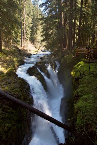 Sol Duc FallsResearched visit notes46 ft (14 m) · Clallam County, WA0.3 miE
- Mineral Creek FallsNational park trail to a bridge view of the falls; entrance pass requiredJefferson County, WA6.2 miSW
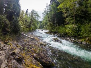 Salmon CascadesRoadside parking and a short path to a viewing deck; entrance pass requiredClallam County, WA6.7 miNW
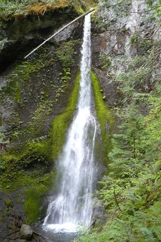 Marymere FallsResearched visit notes92 ft (28 m) · Clallam County, WA7.1 miN
- Madison FallsShort paved national park trail49 ft (15 m) · Clallam County, WA13 miNE
- Service FallsJefferson County, WA15 miSE
- Merriman FallsRoadside waterfall on South Shore Road40 ft (12.2 m) · Grays Harbor County, WA31 miS
- Cascade FallsShort national forest loop from the Quinault Ranger StationGrays Harbor County, WA34 miS
- Ross FallsMason County, WA34 miSE