Marymere Falls
Clallam County, Washington
Your visit at a glance
- Waterfall height
- 92 ft (28 m)
- Location
- Clallam County, Washington
- The walk
- 0.9 mile one way; 1.8 miles return calculated
- Ground & access
- Old-growth forest trail; detailed surface, steps and grades are not specified in the cited trailhead page.
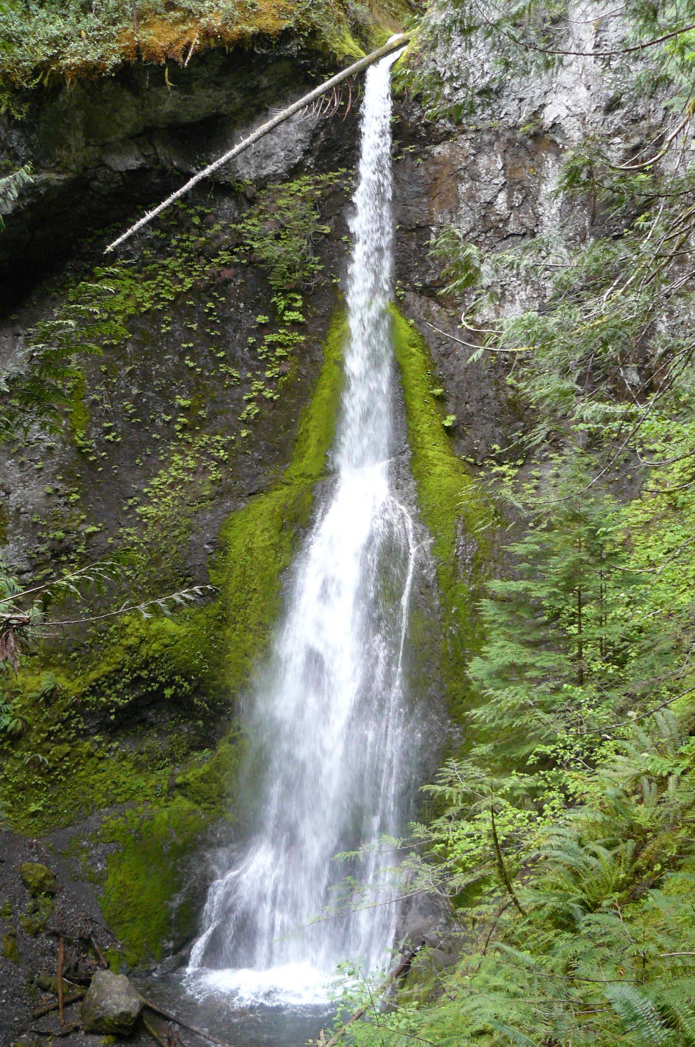
Follow the forest trail from Storm King Ranger Station to Marymere Falls.
Plan your visit
Marymere Falls Trail from Storm King Ranger Station
The trailhead page explicitly gives 0.9 mile one way. The return figure doubles that distance; the Lake Crescent Lodge approach is not measured here.
Old-growth forest trail; detailed surface, steps and grades are not specified in the cited trailhead page.
Where to start
Start at the Barnes Point/Storm King parking area at Lake Crescent; the NPS compendium confirms this named lot. Capacity is unknown.
Timing & water
On October 27, 2026, NPS lists the Marymere trailhead and Barnes Point area open, but Storm King Ranger Station closed for the season.
Before you go
Current day-use booking requirements are not specified in the opened sources; confirm with the park.
Visitor informationVisit sources
More waterfalls nearby
Within 40 straight-line miles. Road and trail distances will differ.
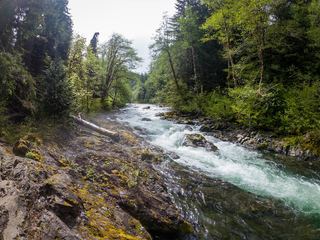 Salmon CascadesRoadside parking and a short path to a viewing deck; entrance pass requiredClallam County, WA6.6 miW
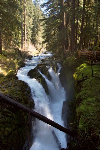 Sol Duc FallsResearched visit notes46 ft (14 m) · Clallam County, WA7.0 miS
- Lover's Lane FallsNational park trail to a bridge above the falls; entrance pass requiredClallam County, WA7.1 miS
- Madison FallsShort paved national park trail49 ft (15 m) · Clallam County, WA9.2 miE
- Mineral Creek FallsNational park trail to a bridge view of the falls; entrance pass requiredJefferson County, WA13 miS
- Service FallsJefferson County, WA21 miS
- Merriman FallsRoadside waterfall on South Shore Road40 ft (12.2 m) · Grays Harbor County, WA38 miS
- Ross FallsMason County, WA39 miSE
- Whitehorse FallsMason County, WA40 miSE