Upper Wallace Falls
Snohomish County, Washington
Your visit at a glance
- Waterfall height
- 240 ft (73.2 m)
- Location
- Snohomish County, Washington
- Access status
- Published state park trail to the Upper Falls viewpoint; Discover Pass required
- The walk
- 2.8 miles each way; WTA lists 5.6 miles round trip with 1,300 feet of gain
- Ground & access
- Well-maintained trail with 1,300 feet of gain, most of it on the switchbacks between the Middle and Upper Falls. Some short sections above the Middle Falls are more rugged. Stay at the designated viewpoints.
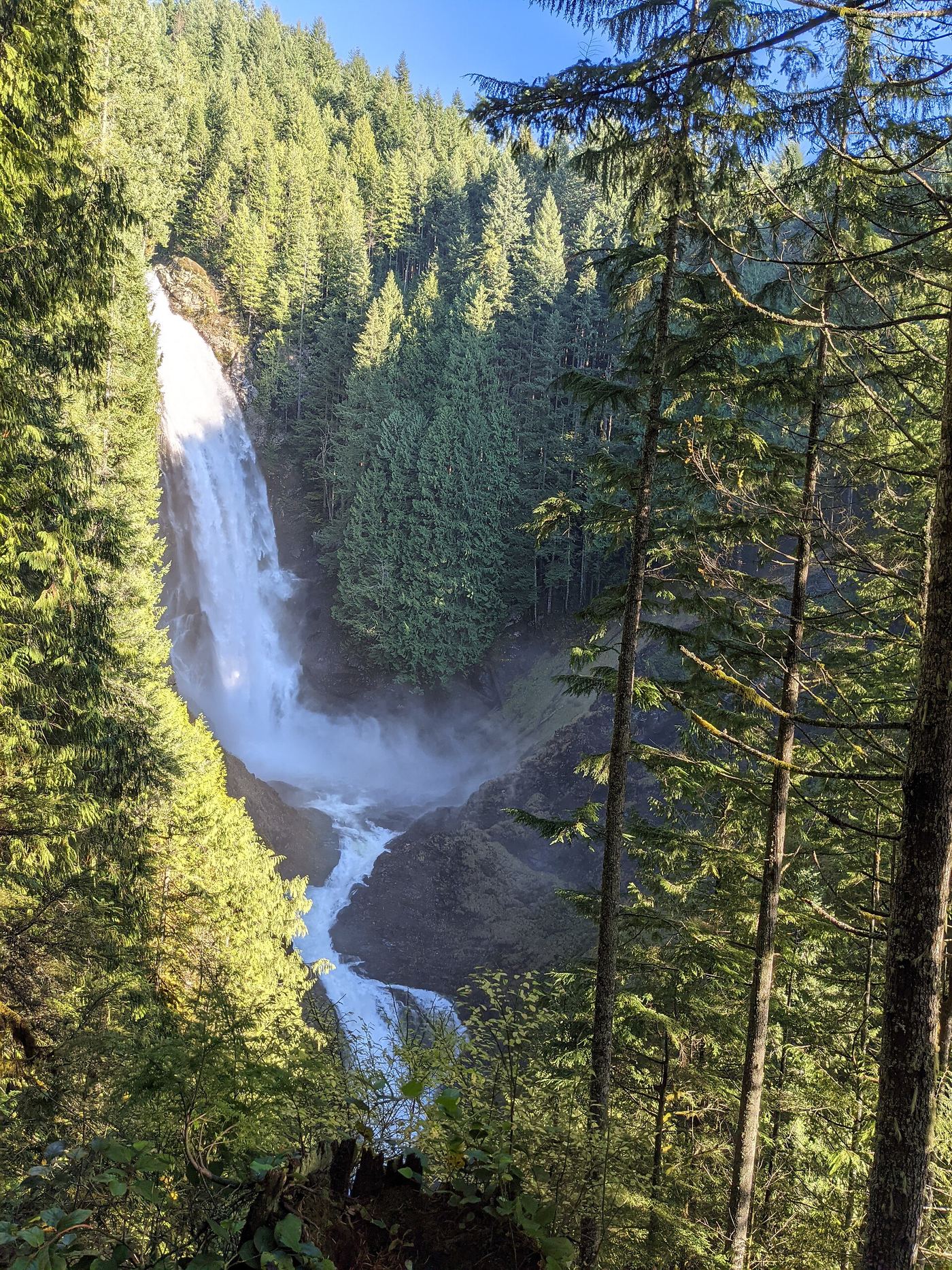
Upper Wallace Falls is the uppermost of the three waterfalls on the Wallace River in Wallace Falls State Park. From the trailhead by the information kiosk and restrooms, walk under the power lines into the forest. At the split about half a mile in, go right through the wooden gate onto the hiker-only Woody Trail. Stay on the Woody Trail past side paths to the picnic area at the Lower Falls, about 2 miles from the trailhead, then continue to the Middle Falls overlook. From there a steep half-mile of switchbacks leads to the Upper Falls, where the trail ends. Two of the upper drops can be seen from the fenced viewpoint. Return the same way.
Plan your visit
Wallace Falls State Park trailhead near Gold Bar, along the Woody Trail past the Lower Falls and Middle Falls viewpoints, then up switchbacks to the Upper Falls viewpoint
Washington State Parks calls it a 2.8-mile hike to the top of Wallace Falls. WTA says the path concludes at the Upper Falls at 2.8 miles and lists 5.6 miles round trip, out and back.
Well-maintained trail with 1,300 feet of gain, most of it on the switchbacks between the Middle and Upper Falls. Some short sections above the Middle Falls are more rugged. Stay at the designated viewpoints.
Where to start
Wallace Falls State Park parking lot at the end of the park access road. From US 2 at Gold Bar, turn onto 1st Street, then right onto May Creek Road, and keep left at the Y-junction after 1.3 miles. The lot can fill on weekends; do not park along the access road.
Timing & water
Open year round, 8 a.m. to dusk, per Washington State Parks.
Before you go
Discover Pass required (one-day pass $10, annual pass $45, per Washington State Parks). WTA says a pass dispenser is in the parking lot.
Visitor informationVisit sources
- Washington State Parks: Wallace Falls State Park
- Washington State Parks: Wallace Falls State Park
- Washington Trails Association: Wallace Falls
- Washington Trails Association: Wallace Falls
- Washington Trails Association: Wallace Falls
- Washington Trails Association: Wallace Falls
- Northwest Waterfall Survey: Upper Wallace Falls
More waterfalls nearby
Within 40 straight-line miles. Road and trail distances will differ.
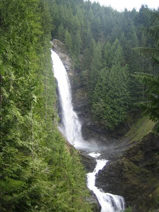 Middle Wallace FallsState park trail to the Middle Falls overlook; Discover Pass required367 ft (111.9 m) · Snohomish County, WA0.2 miSW
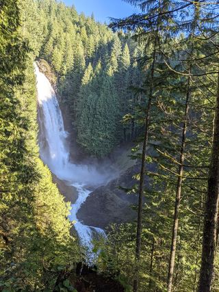 Lower Wallace FallsState park trail to the lower falls viewpointSnohomish County, WA0.4 miSW
- Small FallsShort state park trail to an interpretive spur; Discover Pass requiredSnohomish County, WA1.3 miSW
- Upper Olney Falls26 ft (8 m) · Snohomish County, WA3.1 miW
- Olney Falls59 ft (18 m) · Snohomish County, WA3.3 miW
- Boulder DropSnohomish County, WA4.6 miSE
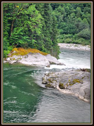 Sunset FallsPublic access closed; reopening not confirmed104 ft (31.7 m) · Snohomish County, WA6.6 miSE
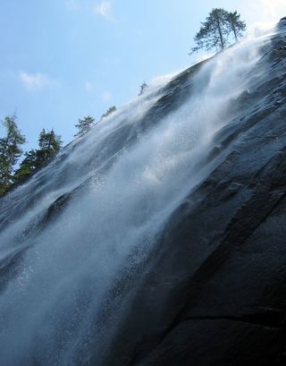 Bridal Veil Falls-Lower East CascadeEstablished trail to Bridal Veil Falls; this cascade's viewpoint not confirmedSnohomish County, WA6.9 miSE
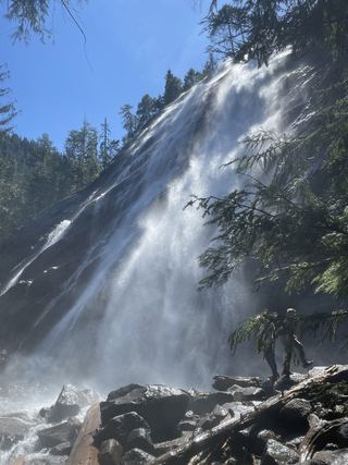 Bridal Veil Falls-Mine Cascade1,291 ft (393.5 m) · Snohomish County, WA6.9 miSE