Bridal Veil Falls-Lower East Cascade
Snohomish County, Washington
Your visit at a glance
- Waterfall height
- Not recorded
- Location
- Snohomish County, Washington
- Access status
- Established trail to Bridal Veil Falls; this cascade's viewpoint not confirmed
- The walk
- 4.0 miles round trip to the end of the Bridal Veil Falls trail per Washington Trails Association
- Ground & access
- Gentle old road at first, with small stream crossings; then a rocky climb with stairways and spray near the falls.
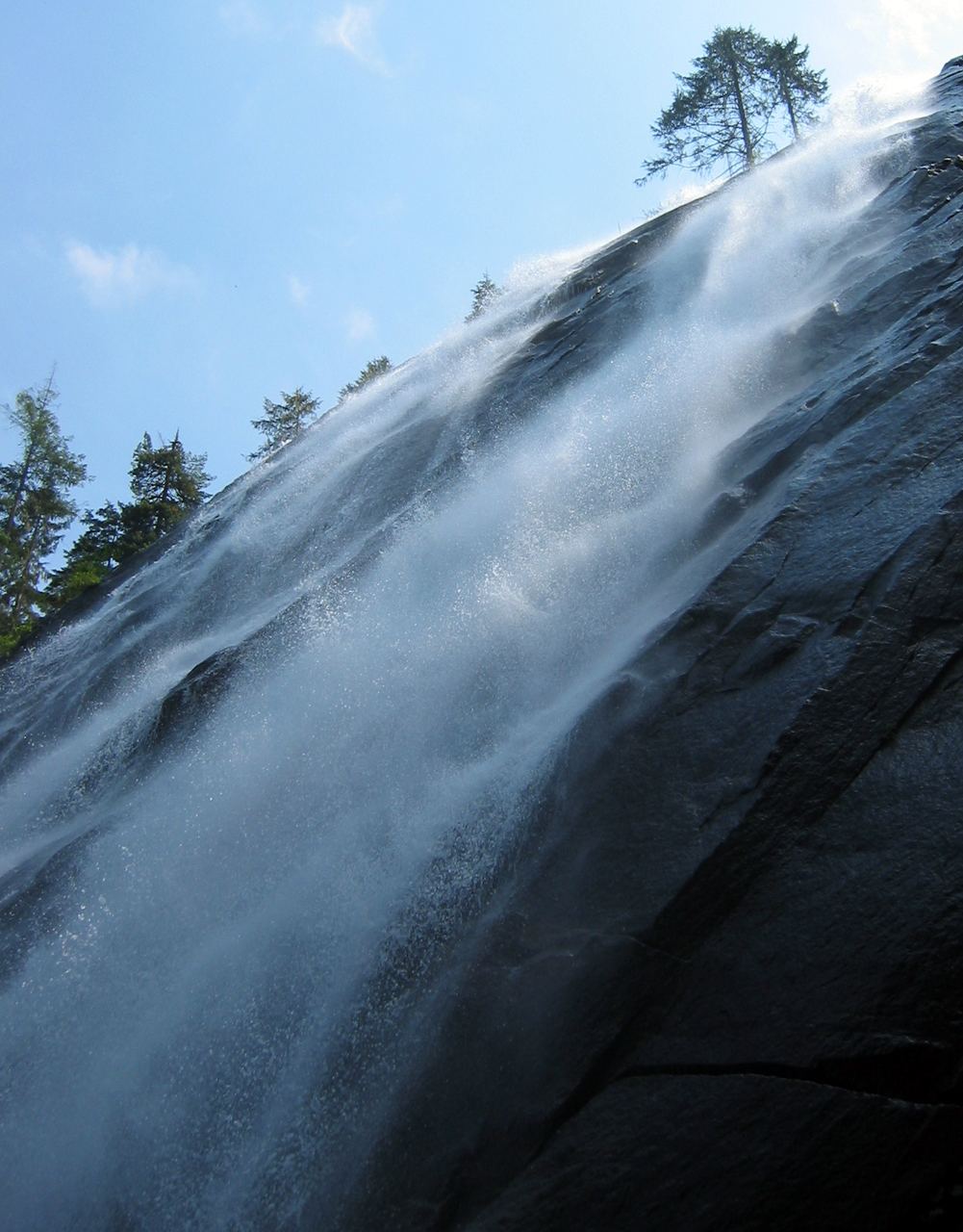
Bridal Veil Falls pours out of Lake Serene down the east side of Mount Index in several cascades. This listing is named as the lower east cascade, but the sources describe the falls as a whole and do not use that name, so which viewpoint shows this exact cascade is not confirmed. From the trailhead, follow the trail along an old road through forest. At 1.5 miles the Lake Serene Trail forks left and crosses a bridge with a view of the lower falls. The right fork climbs a rocky stretch and several stairways and ends at the falls at 2 miles. Return the same way.
Plan your visit
Lake Serene Trail 1068 trailhead off Mount Index Road near Index, Lake Serene Trail to the Bridal Veil Falls spur and its viewpoints
Washington Trails Association gives 4.0 miles round trip. The Bridal Veil Falls spur leaves the Lake Serene Trail at 1.5 miles and ends at the falls at 2 miles. The bridge view of the lower falls is on the Lake Serene Trail just past that junction.
Gentle old road at first, with small stream crossings; then a rocky climb with stairways and spray near the falls.
Where to start
Lake Serene Trail 1068 parking lot, 500 feet past a right turn about a quarter mile up the dirt Mount Index Road, which leaves Highway 2 about seven miles past Gold Bar. The lot overflows on summer weekends. Do not park along the road and respect No Parking signs.
Timing & water
No season limits are stated.
Before you go
Washington Trails Association lists a Northwest Forest Pass or America the Beautiful Pass for parking.
Visitor informationMore waterfalls nearby
Within 40 straight-line miles. Road and trail distances will differ.
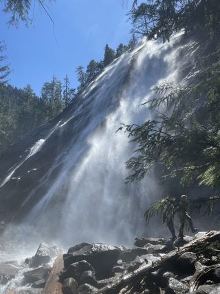 Bridal Veil Falls-Mine Cascade1,291 ft (393.5 m) · Snohomish County, WA0.1 miSW
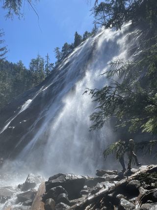 Bridal Veil Falls-Upper CascadeSnohomish County, WA0.3 miSW
- Logjam FallsSnohomish County, WA0.4 miSW
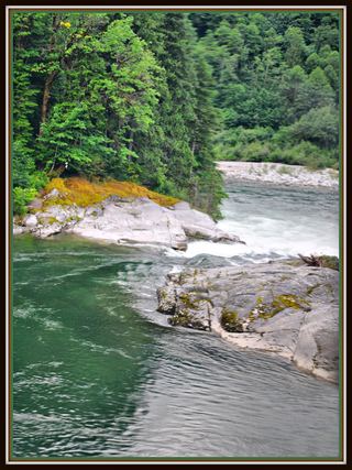 Sunset FallsPublic access closed; reopening not confirmed104 ft (31.7 m) · Snohomish County, WA1.3 miNE
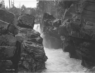 Canyon FallsClosed to general public access: private residential development42 ft (12.8 m) · Snohomish County, WA1.8 miNE
- Boulder DropSnohomish County, WA2.3 miNW
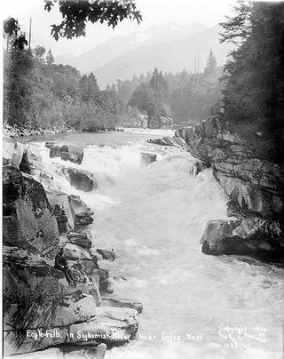 Eagle FallsGuide: roadside view from a signed turnoutSnohomish County, WA2.5 miE
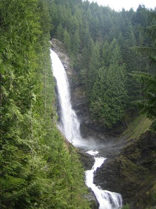 Middle Wallace FallsState park trail to the Middle Falls overlook; Discover Pass required367 ft (111.9 m) · Snohomish County, WA6.9 miNW
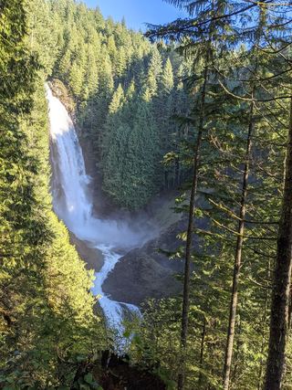 Upper Wallace FallsPublished state park trail to the Upper Falls viewpoint; Discover Pass required240 ft (73.2 m) · Snohomish County, WA6.9 miNW