Boulder Drop
Snohomish County, Washington
Your visit at a glance
- Waterfall height
- Not recorded
- Location
- Snohomish County, Washington
- Ground elevation
- About 393 ft above sea level
- Nearby mapped stream
- Skykomish River
- Within this boundary
- Snoqualmie National Forest
- Nearby mapped access
- Mapped trailhead (route unconfirmed)
A nearby mapped parking area or trailhead may not connect to this waterfall. Confirm the route and public access before travelling.
Boulder Drop is mapped in Snohomish County, Washington, 5.3 miles southeast of Gold Bar. This entry shows its location and nearby mapped places; a visitor route has not been confirmed.
About this location
Land & access
The waterfall is mapped inside the boundary of Snoqualmie National Forest. This boundary can include private land. Public access at the waterfall has not been confirmed.
Water & terrain
Skykomish River is mapped within 60 metres (about 200 feet) of the waterfall. Proximity alone does not confirm which stream feeds the falls.
Ground elevation is the land’s height above sea level, not the waterfall’s drop.
Sources for these details
Nearby streams and paths: OpenStreetMap. Land names: USGS PAD-US ownership records, with planning boundaries used only where ownership has no usable name. Ground elevation: USGS 3D Elevation Program.
Map records do not verify a walking route or current access conditions.
Before you make the trip
The closest mapped trailhead is 1.3 mi away in a straight line. This is not a walking distance.
Trail length, parking rules and current conditions have not been confirmed for this entry.
More waterfalls nearby
Within 40 straight-line miles. Road and trail distances will differ.
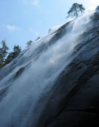 Bridal Veil Falls-Lower East CascadeEstablished trail to Bridal Veil Falls; this cascade's viewpoint not confirmedSnohomish County, WA2.3 miSE
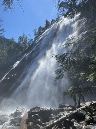 Bridal Veil Falls-Mine Cascade1,291 ft (393.5 m) · Snohomish County, WA2.4 miSE
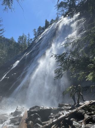 Bridal Veil Falls-Upper CascadeSnohomish County, WA2.5 miSE
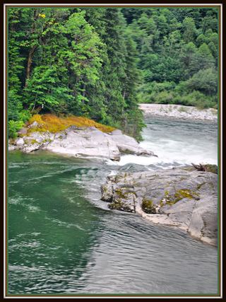 Sunset FallsPublic access closed; reopening not confirmed104 ft (31.7 m) · Snohomish County, WA2.5 miE
- Logjam FallsSnohomish County, WA2.5 miSE
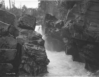 Canyon FallsClosed to general public access: private residential development42 ft (12.8 m) · Snohomish County, WA3.2 miE
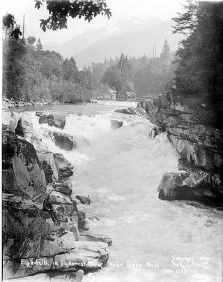 Eagle FallsGuide: roadside view from a signed turnoutSnohomish County, WA4.2 miE
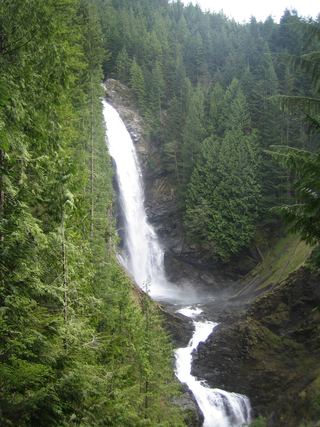 Middle Wallace FallsState park trail to the Middle Falls overlook; Discover Pass required367 ft (111.9 m) · Snohomish County, WA4.5 miNW
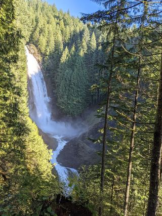 Upper Wallace FallsPublished state park trail to the Upper Falls viewpoint; Discover Pass required240 ft (73.2 m) · Snohomish County, WA4.6 miNW