Eagle Falls
Snohomish County, Washington
Your visit at a glance
- Waterfall height
- Not recorded
- Location
- Snohomish County, Washington
- Access status
- Guide: roadside view from a signed turnout
- The walk
- Roadside viewpoint next to the turnout; no distance given
- Ground & access
- Roadside view. Paths down to the gorge are steep, and the rock is slippery.
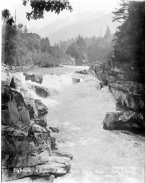
Photo credit
Photo: Lee Pickett, Public domain, via Wikimedia CommonsEagle Falls is a short, powerful cascade of the South Fork Skykomish River in a steep granite gorge right beside US 2. Drive east from Monroe and Sultan to a large turnout about 2 miles east of Index, where the river runs next to the road; a sign identifies the area as Eagle Falls. The Northwest Waterfall Survey says the best views are from just off the highway shoulder next to the falls. Paths lead down to the gorge and the large pool below, which is popular for swimming in summer. Take great care near the water.
Plan your visit
Large signed turnout on US 2 about 2 miles east of Index, view from beside the highway shoulder next to the falls
The Northwest Waterfall Survey describes the best view as just off the highway shoulder next to the falls. No walking distance is given.
Roadside view. Paths down to the gorge are steep, and the rock is slippery.
Where to start
Large turnout on US 2 about 2 miles east of Index, signed Eagle Falls.
Timing & water
Viewable all year. At peak flows the falls are partly submerged; they are more defined as the river drops.
Before you go
No fee is mentioned. No booking is needed.
Visitor informationVisit sources
More waterfalls nearby
Within 40 straight-line miles. Road and trail distances will differ.
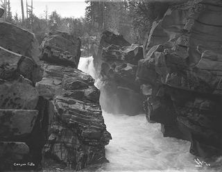 Canyon FallsClosed to general public access: private residential development42 ft (12.8 m) · Snohomish County, WA1.1 miNW
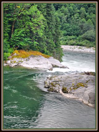 Sunset FallsPublic access closed; reopening not confirmed104 ft (31.7 m) · Snohomish County, WA1.7 miW
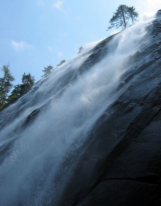 Bridal Veil Falls-Lower East CascadeEstablished trail to Bridal Veil Falls; this cascade's viewpoint not confirmedSnohomish County, WA2.5 miW
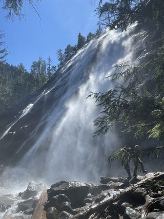 Bridal Veil Falls-Mine Cascade1,291 ft (393.5 m) · Snohomish County, WA2.6 miW
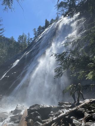 Bridal Veil Falls-Upper CascadeSnohomish County, WA2.7 miW
- Logjam FallsSnohomish County, WA2.7 miW
- Boulder DropSnohomish County, WA4.2 miW
- Milwawkie FallsKing County, WA6.9 miS
- Goat Creek FallsKing County, WA7.8 miS