Marsh Creek Falls
Snohomish County, Washington
Your visit at a glance
- Waterfall height
- 89 ft (27 m)
- Location
- Snohomish County, Washington
- Access status
- Road walk on PUD land to a view across the canyon; current visitor rules not confirmed
- The walk
- The Northwest Waterfall Survey says the falls come into view about 8/10 mile from the gate
- Ground & access
- Gravel road walk. The slopes below the road are very steep and loose.
Marsh Creek Falls drops into the Sultan River canyon north of Sultan, on land owned by the Snohomish County PUD. Both sources describe parking at the gated road and walking in, and Aaron's Waterfall World says to sign in at the PUD sign; no source states the PUD's current rules for visitors. Walk down the gated road, keeping left at the first fork and right at the second (not up the steep hill). At about 0.8 mile the falls come into view across the canyon. The view from the road is partial. Both sources describe a steep scramble down to a bench below the road for a better view; climbing back up is difficult without a rope or a second person, and the slope below the bench drops to the river. Return the same way. Reaching the bottom of the falls would cross private land.
Plan your visit
Gated Snohomish County PUD road off Lake Chaplain Road north of Sultan, on foot along the road to the view across the Sultan River canyon
The Northwest Waterfall Survey says to watch for the falls across the canyon about 8/10 mile from the gate. Aaron's Waterfall World says a tad over 3/4 mile from the car. Neither gives a round-trip figure.
Gravel road walk. The slopes below the road are very steep and loose.
Where to start
Gated road on the right about 2 3/4 miles along Lake Chaplain Road, reached from Sultan by Old Owen Road and Reiner Road. If you start passing wetlands you have gone too far. Do not drive past the gate.
Timing & water
Lake Chaplain Road is gated from 6 p.m. to 6 a.m. daily, and the survey says vehicles caught inside the gate on the road to the falls are impounded.
Before you go
No fee is mentioned.
Visitor informationVisit sources
- Northwest Waterfall Survey: Marsh Creek Falls
- Northwest Waterfall Survey: Marsh Creek Falls
- Northwest Waterfall Survey: Marsh Creek Falls
- Northwest Waterfall Survey: Marsh Creek Falls
- Northwest Waterfall Survey: Marsh Creek Falls
- Northwest Waterfall Survey: Marsh Creek Falls
- Aaron's Waterfall World: Marsh Creek Falls
- Aaron's Waterfall World: Marsh Creek Falls
More waterfalls nearby
Within 40 straight-line miles. Road and trail distances will differ.
- Explorer FallsUnmaintained side paths and creek crossings; Discover Pass50 ft (15.2 m) · Snohomish County, WA4.0 miNW
- Upper Olney Falls26 ft (8 m) · Snohomish County, WA5.1 miSE
- Olney Falls59 ft (18 m) · Snohomish County, WA5.2 miSE
- McCoy Creek Falls58 ft (17.6 m) · Snohomish County, WA6.3 miS
- Lower Twin Falls236 ft (71.9 m) · Snohomish County, WA7.0 miN
- Twin Falls138 ft (42 m) · Snohomish County, WA7.1 miN
- Small FallsShort state park trail to an interpretive spur; Discover Pass requiredSnohomish County, WA7.3 miSE
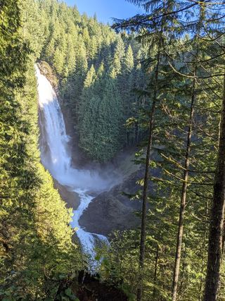 Lower Wallace FallsState park trail to the lower falls viewpointSnohomish County, WA7.8 miSE
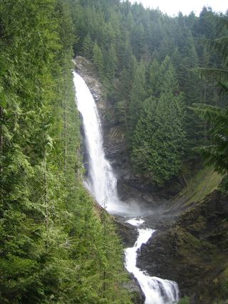 Middle Wallace FallsState park trail to the Middle Falls overlook; Discover Pass required367 ft (111.9 m) · Snohomish County, WA7.9 miSE