Explorer Falls
Snohomish County, Washington
Your visit at a glance
- Waterfall height
- 50 ft (15.2 m)
- Location
- Snohomish County, Washington
- Access status
- Unmaintained side paths and creek crossings; Discover Pass
- The walk
- A little over 2 miles round trip per South Sound Magazine
- Ground & access
- Old roads, side paths around fallen logs and dirt mounds, and creek crossings by wading or on logs and rocks. Climbing over roots and rocks for a closer view.
Explorer Falls is next to the City of Everett's Lake Chaplain Watershed. South Sound Magazine describes the route: at the end of Monroe Camp Road, walk around the bright yellow gate and follow the tree-lined road about three-quarters of a mile. Watch for signs in the trees pointing left to Explorer Falls and take the small trail past fallen trees. Look left for a pile of logs on a dirt mound; a small trail goes through the logs, over the mound and across a creek. Go around a second gate and walk a little over a quarter mile up a gentle grade. Ignore the first narrow trail on the right; about 100 yards farther, just before a fork in the road, the falls trail crosses the creek to the falls. The route relies on side paths and creek crossings rather than a maintained trail.
Plan your visit
End of Monroe Camp Road near Lake Roesiger, around the yellow gate, old roads and side paths to Explorer Falls
South Sound Magazine gives a little over 2 miles round trip with 250 feet of gain from the end of Monroe Camp Road. Washington Trails Association lists 5.5 miles round trip, apparently from a different start.
Old roads, side paths around fallen logs and dirt mounds, and creek crossings by wading or on logs and rocks. Climbing over roots and rocks for a closer view.
Where to start
End of Monroe Camp Road: from South Lake Roesiger Road turn onto Monroe Camp Road, drive 1.3 miles, bear left at the Camp Edward sign and follow the road to its end. Do not take the logging road on the left. No toilet.
Timing & water
No season limits are stated. Flow is best after rain.
Before you go
A Discover Pass is required to park at the trailhead.
Visitor informationVisit sources
More waterfalls nearby
Within 40 straight-line miles. Road and trail distances will differ.
- Marsh Creek FallsRoad walk on PUD land to a view across the canyon; current visitor rules not confirmed89 ft (27 m) · Snohomish County, WA4.0 miSE
- Lower Twin Falls236 ft (71.9 m) · Snohomish County, WA5.8 miNE
- Twin Falls138 ft (42 m) · Snohomish County, WA5.9 miNE
- Upper Olney Falls26 ft (8 m) · Snohomish County, WA9.1 miSE
- Olney Falls59 ft (18 m) · Snohomish County, WA9.2 miSE
- McCoy Creek Falls58 ft (17.6 m) · Snohomish County, WA9.5 miS
- Small FallsShort state park trail to an interpretive spur; Discover Pass requiredSnohomish County, WA11 miSE
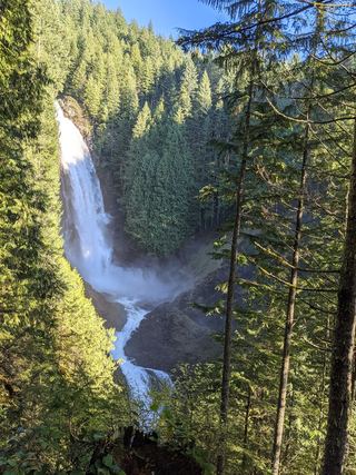 Lower Wallace FallsState park trail to the lower falls viewpointSnohomish County, WA12 miSE
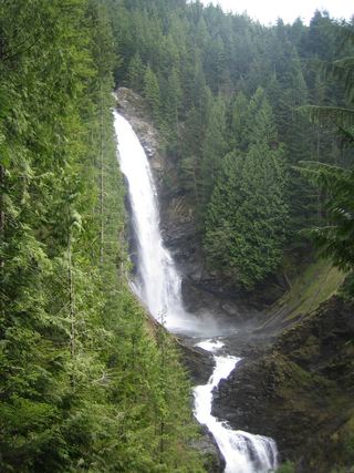 Middle Wallace FallsState park trail to the Middle Falls overlook; Discover Pass required367 ft (111.9 m) · Snohomish County, WA12 miSE