Drury Falls
Chelan County, Washington
Your visit at a glance
- Waterfall height
- 1,267 ft (386.2 m)
- Location
- Chelan County, Washington
- Access status
- Partial: highway-side view documented; no designated parking or walkway
- The walk
- About 500 feet along the highway from either pullout (Waterfalls Northwest)
- Ground & access
- Highway shoulder beside traffic. No trail. Do not try to reach the base of the falls.
Drury Falls is a tall, seasonal waterfall on Fall Creek that plunges over the rim of Tumwater Canyon across the Wenatchee River from US 2. The 455-foot upper tier is visible from the side of US 2 in the heart of Tumwater Canyon, about 3 miles east of Tumwater Campground or 6 miles west of Leavenworth. There is no parking where the view is best; park at a pullout about 500 feet away in either direction and walk along the side of the highway. The lower tiers are hidden in a narrow canyon; the only full view is from the summit of Tumwater Mountain.
Plan your visit
Roadside pullouts on US 2 in Tumwater Canyon, about 500 feet either side of the mouth of Fall Creek, then along the highway shoulder to the view of the upper tier
Waterfalls Northwest says the pullouts are approximately 500 feet in either direction from the mouth of Fall Creek, where the falls are most easily visible.
Highway shoulder beside traffic. No trail. Do not try to reach the base of the falls.
Where to start
Pullouts on US 2 about 500 feet from the mouth of Fall Creek in either direction. No parking where the falls are most easily seen.
Timing & water
Best in May and June during snowmelt. Fall Creek slows to a trickle by midsummer and can dry out by late August.
Before you go
No fee is mentioned.
Visitor informationVisit sources
More waterfalls nearby
Within 40 straight-line miles. Road and trail distances will differ.
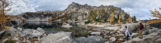 Viviane FallsLong wilderness trail; free day-use permit at the trailhead; scramble for a clear view197 ft (60 m) · Chelan County, WA11 miS
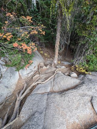 Upper Snow Creek FallsLong wilderness trail that passes the base of the falls148 ft (45 m) · Chelan County, WA11 miS
- Pea Soup FallsKing County, WA21 miW
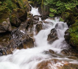 Deception FallsResearched walking routeKing County, WA22 miW
- Monkey Cage FallsLower loop reported closed in 2026; Monkey Cage viewing-deck access unconfirmed16 ft (4.9 m) · King County, WA22 miW
- Preston FallsChelan County, WA22 miNE
- McCrea FallsChelan County, WA23 miNE
- Alpine FallsKing County, WA23 miW
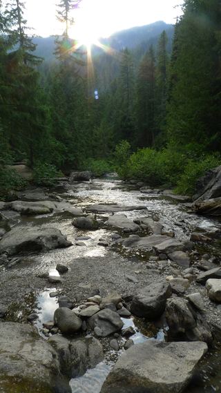 White River FallsCampground closed; waterfall approach unverifiedChelan County, WA24 miN