Deception Falls
King County, Washington
Your visit at a glance
- Waterfall height
- Not recorded
- Location
- King County, Washington
- Access status
- Researched walking route
- The walk
- 0.5-mile loop
- Ground & access
- Wooden platforms, bridges and benches; accessible picnic shelter and vault toilets. Loop accessibility is not specified.
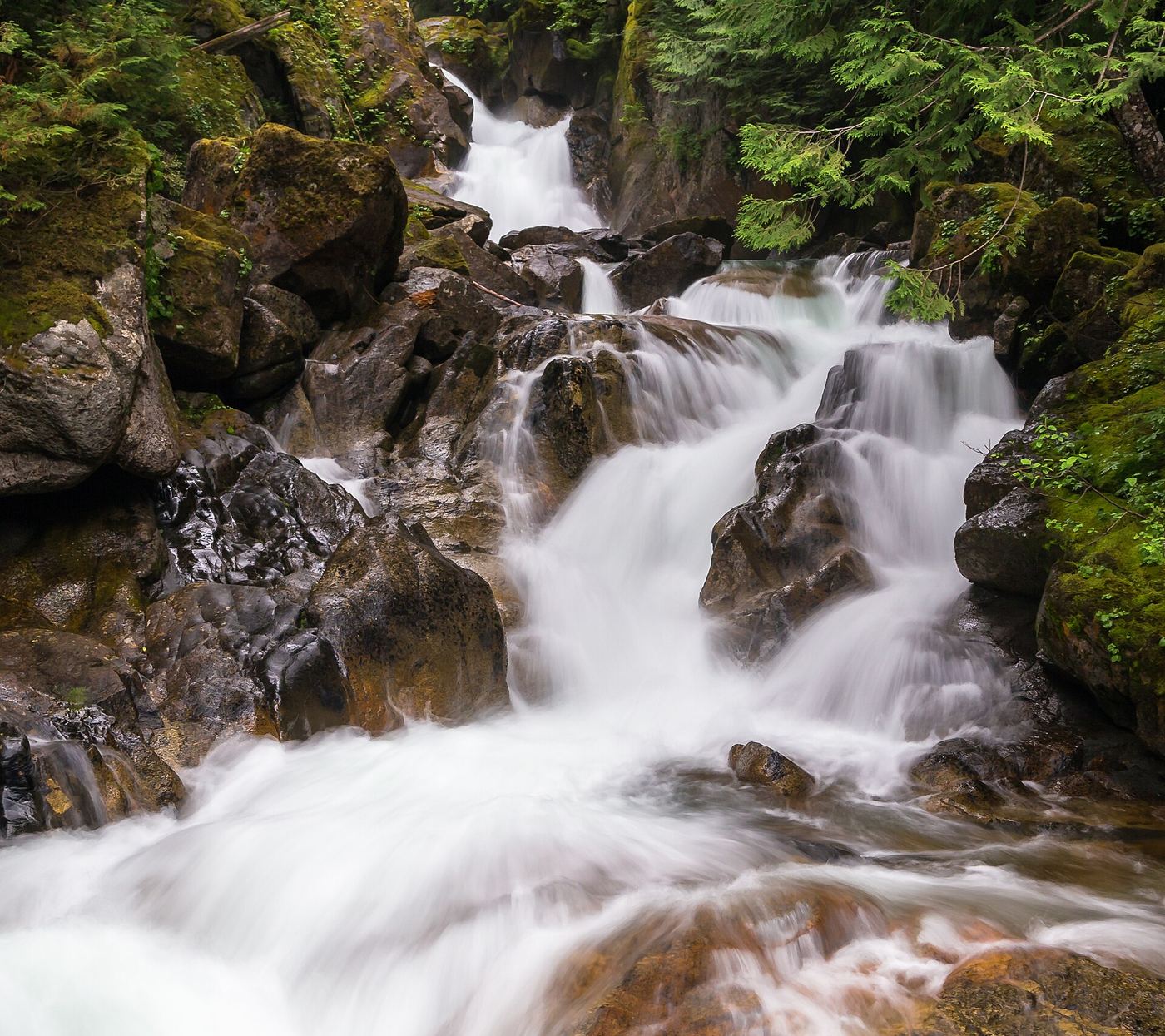
A nearby platform and interpretive loop provide views of Deception Falls. The current page marks the site open.
Plan your visit
Deception Falls Interpretive Trail 1078
USFS describes a half-mile loop. The closer platform distance is not given.
Wooden platforms, bridges and benches; accessible picnic shelter and vault toilets. Loop accessibility is not specified.
Where to start
US 2 milepost 56, north side of the highway, left when heading east.
Timing & water
Site Open on the page updated October 22, 2026; spring runoff is highlighted. Winter access is not guaranteed.
Before you go
USFS states no fee.
Visitor informationMore waterfalls nearby
Within 40 straight-line miles. Road and trail distances will differ.
- Monkey Cage FallsLower loop reported closed in 2026; Monkey Cage viewing-deck access unconfirmed16 ft (4.9 m) · King County, WA0.2 miN
- Alpine FallsKing County, WA1.5 miW
- Sunray Falls394 ft (120 m) · King County, WA8.1 miSW
- Shoestring FallsResearched visit notes984 ft (300 m) · King County, WA8.1 miSW
- Engle Falls489 ft (149 m) · King County, WA8.7 miSW
- Lower Copper Falls46 ft (14 m) · King County, WA9.0 miSW
- Middle Copper Falls49 ft (15 m) · King County, WA9.1 miSW
- Upper Copper FallsTrail connection supported; precise viewing point and distance unconfirmed39 ft (12 m) · King County, WA9.1 miSW
- Pea Soup FallsKing County, WA9.4 miS