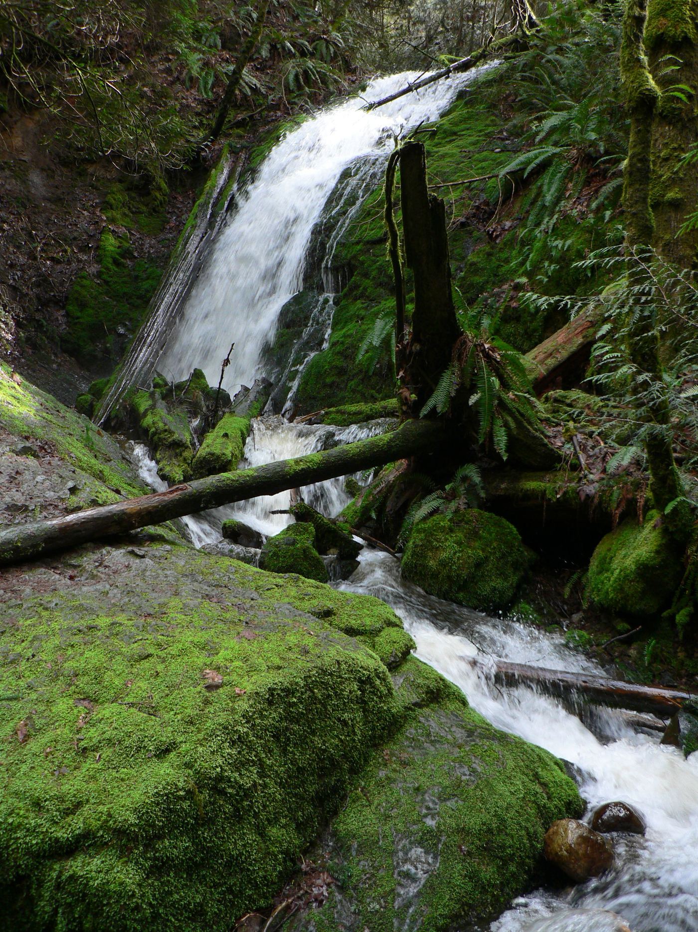
Waterfalls near Redmond, WA
48 named waterfalls within 30 miles of Redmond, closest first. Distances are straight-line from the town center.
Visits with route details
Read the walking route, starting point and current access notes.
- WaterwallPartial guide: garden water feature matched to this listing by description and positionKing County, WA
- North Fork FallsShort park trail from the Red Town TrailheadKing County, WA
- McCauley FallsDistant roadside view only; the falls are on private land and a closer visit needs the owners' permissionKing County, WA
 Coal Creek FallsCounty park trail route and trailhead documentedKing County, WA
- Doughty FallsPartial guide: park trail route assembled from trip reports; no distance to this fallsKing County, WA
- Cherry Creek FallsPartial guide: first half mile crosses private land under a homeowner courtesy easement82 ft (25 m) · King County, WA
- Fifteenmile WaterfallShort creek trail; no nearby legal parking; exact falls not locatedKing County, WA
- Upper Cherry Creek FallsGated forest road walk on state land; one source, road junctions not confirmed26 ft (8 m) · King County, WA
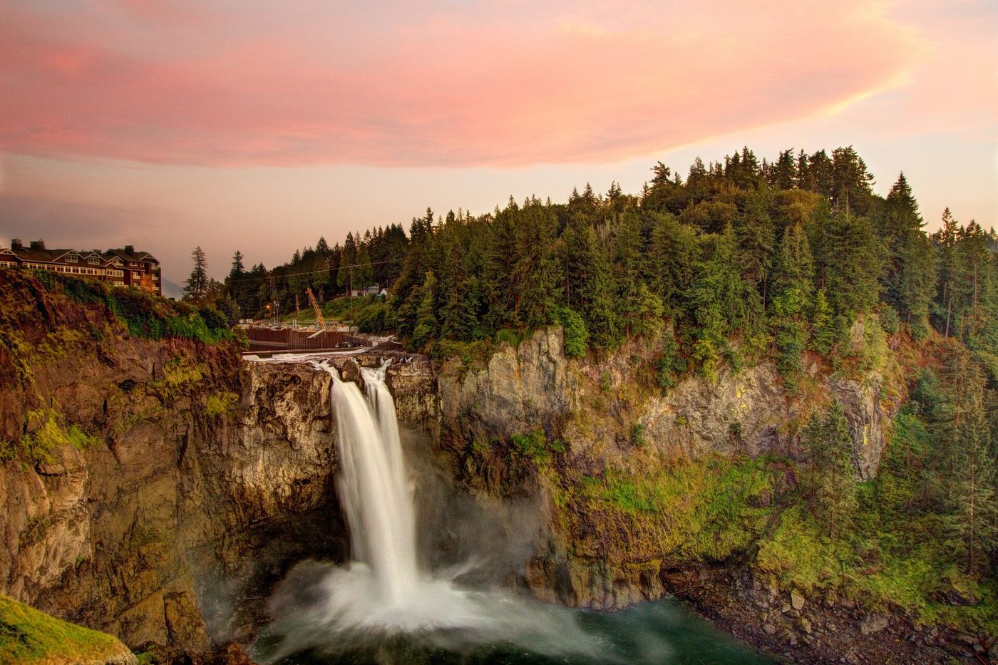
 Snoqualmie FallsResearched visit notes268 ft · King County, WA
 Fantastic FallsClosed to all public access at landowners' request33 ft (10 m) · King County, WA
- Teneriffe FallsSigned DNR trail with steep switchbacks to the falls; Discover Pass requiredKing County, WA
- Marsh Creek FallsRoad walk on PUD land to a view across the canyon; current visitor rules not confirmed89 ft (27 m) · Snohomish County, WA
- Explorer FallsUnmaintained side paths and creek crossings; Discover Pass50 ft (15.2 m) · Snohomish County, WA
- Small FallsShort state park trail to an interpretive spur; Discover Pass requiredSnohomish County, WA
- Gossamer FallsLogging road walk on DNR land, then an off-trail scramble; road damaged at the streamKing County, WA
- Switchback FallsPartial: walk on an active logging road with debris-flow damage near the fallsKing County, WA
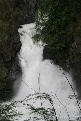 Twin Falls (Upper)State park trail to the bridge and upper overlookKing County, WA
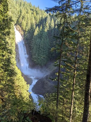 Lower Wallace FallsState park trail to the lower falls viewpointSnohomish County, WA
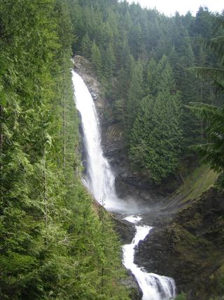 Middle Wallace FallsState park trail to the Middle Falls overlook; Discover Pass required367 ft (111.9 m) · Snohomish County, WA
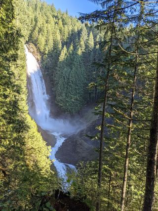 Upper Wallace FallsPublished state park trail to the Upper Falls viewpoint; Discover Pass required240 ft (73.2 m) · Snohomish County, WA
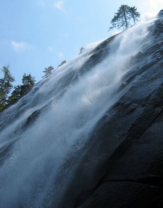 Bridal Veil Falls-Lower East CascadeEstablished trail to Bridal Veil Falls; this cascade's viewpoint not confirmedSnohomish County, WA
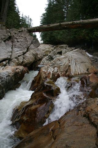 Weeks FallsResearched walking route60 ft (18.3 m) · King County, WA
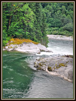 Sunset FallsPublic access closed; reopening not confirmed104 ft (31.7 m) · Snohomish County, WA
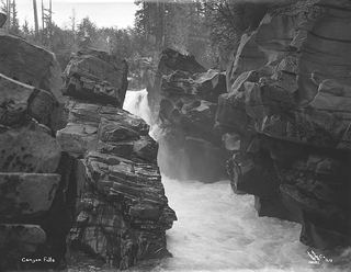 Canyon FallsClosed to general public access: private residential development42 ft (12.8 m) · Snohomish County, WA
- Dickerson FallsPartial guide: private tree farm open to visitors by owner permissionKitsap County, WA
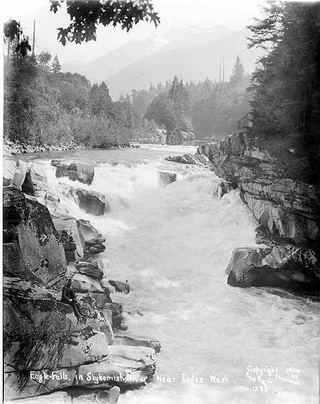 Eagle FallsGuide: roadside view from a signed turnoutSnohomish County, WA
Closest with a photo
All 48 waterfalls
- WaterwallPartial guide: garden water feature matched to this listing by description and positionKing County, WA5.2 miSW
- North Fork FallsShort park trail from the Red Town TrailheadKing County, WA9.5 miS
- McCauley FallsDistant roadside view only; the falls are on private land and a closer visit needs the owners' permissionKing County, WA10.0 miNE
- Coal Creek FallsCounty park trail route and trailhead documentedKing County, WA10 miS
- Far Country FallsKing County, WA11 miS
- Doughty FallsPartial guide: park trail route assembled from trip reports; no distance to this fallsKing County, WA11 miS
- Cherry Creek FallsPartial guide: first half mile crosses private land under a homeowner courtesy easement82 ft (25 m) · King County, WA13 miNE
- Sadie Falls33 ft (10 m) · King County, WA13 miE
- Fifteenmile WaterfallShort creek trail; no nearby legal parking; exact falls not locatedKing County, WA15 miSE
- Upper Cherry Creek FallsGated forest road walk on state land; one source, road junctions not confirmed26 ft (8 m) · King County, WA15 miNE
- Ozimandias Falls33 ft (10 m) · Snohomish County, WA16 miNE
- Snoqualmie FallsResearched visit notes268 ft · King County, WA16 miSE
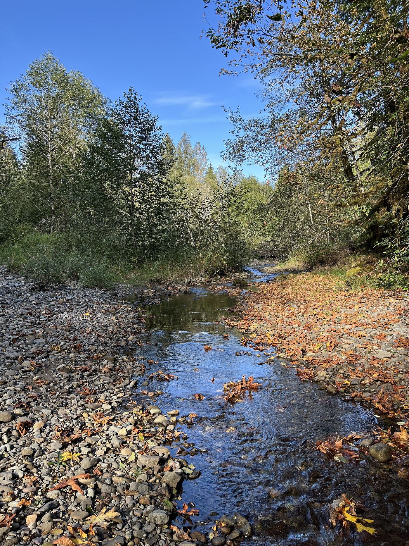
 Youngs Creek Falls26 ft (8 m) · Snohomish County, WA16 miNE
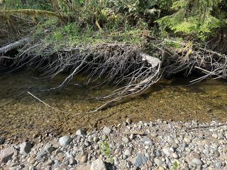 Marckworth FallsSnohomish County, WA17 miNE
- Small WaterfallKing County, WA17 miNE
- McCoy Creek Falls58 ft (17.6 m) · Snohomish County, WA18 miNE
- Fantastic FallsClosed to all public access at landowners' request33 ft (10 m) · King County, WA20 miSE
- Teneriffe FallsSigned DNR trail with steep switchbacks to the falls; Discover Pass requiredKing County, WA23 miSE
- Marsh Creek FallsRoad walk on PUD land to a view across the canyon; current visitor rules not confirmed89 ft (27 m) · Snohomish County, WA23 miNE
- Olney Falls59 ft (18 m) · Snohomish County, WA23 miNE
- Katrine Creek FallsKing County, WA24 miE
- Upper Olney Falls26 ft (8 m) · Snohomish County, WA24 miNE
- Little Kid FallsKing County, WA25 miE
- Explorer FallsUnmaintained side paths and creek crossings; Discover Pass50 ft (15.2 m) · Snohomish County, WA25 miNE
- Small FallsShort state park trail to an interpretive spur; Discover Pass requiredSnohomish County, WA25 miNE
- Vortex FallsKing County, WA25 miSE
- Big Blowout FallsKing County, WA25 miSE
- Gossamer FallsLogging road walk on DNR land, then an off-trail scramble; road damaged at the streamKing County, WA25 miE
- Lower Big Blowout FallsKing County, WA25 miSE
- Switchback FallsPartial: walk on an active logging road with debris-flow damage near the fallsKing County, WA25 miE
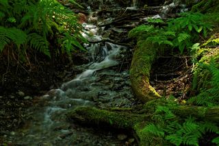 Twin Falls (Lower)230 ft (70.1 m) · King County, WA25 miSE
- Twin Falls (Upper)State park trail to the bridge and upper overlookKing County, WA25 miSE
- Lower Wallace FallsState park trail to the lower falls viewpointSnohomish County, WA26 miNE
- Middle Wallace FallsState park trail to the Middle Falls overlook; Discover Pass required367 ft (111.9 m) · Snohomish County, WA26 miNE
- Upper Wallace FallsPublished state park trail to the Upper Falls viewpoint; Discover Pass required240 ft (73.2 m) · Snohomish County, WA26 miNE
- Boulder DropSnohomish County, WA26 miE
- Raven FallsKing County, WA26 miE
- Logjam FallsSnohomish County, WA27 miE
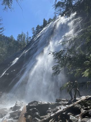 Bridal Veil Falls-Upper CascadeSnohomish County, WA27 miE
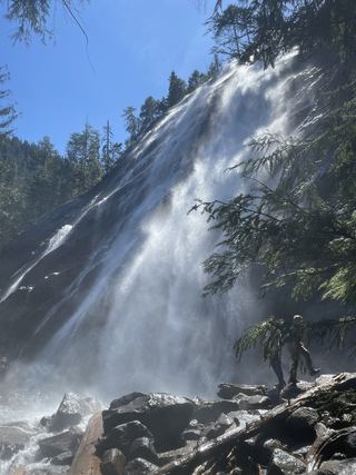 Bridal Veil Falls-Mine Cascade1,291 ft (393.5 m) · Snohomish County, WA27 miE
- Bridal Veil Falls-Lower East CascadeEstablished trail to Bridal Veil Falls; this cascade's viewpoint not confirmedSnohomish County, WA27 miE
- Weeks FallsResearched walking route60 ft (18.3 m) · King County, WA28 miSE
- Sunset FallsPublic access closed; reopening not confirmed104 ft (31.7 m) · Snohomish County, WA28 miE
- Milwawkie FallsKing County, WA28 miE
- Canyon FallsClosed to general public access: private residential development42 ft (12.8 m) · Snohomish County, WA29 miE