Waterfalls near Bremerton, WA
13 named waterfalls within 30 miles of Bremerton, closest first. Distances are straight-line from the town center.
Visits with route details
Read the walking route, starting point and current access notes.
- Dickerson FallsPartial guide: private tree farm open to visitors by owner permissionKitsap County, WA
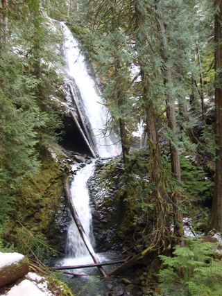 Murhut FallsRoute and trailhead parking documented.Jefferson County, WA
- WaterwallPartial guide: garden water feature matched to this listing by description and positionKing County, WA
- North Fork FallsShort park trail from the Red Town TrailheadKing County, WA
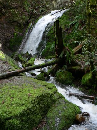 Coal Creek FallsCounty park trail route and trailhead documentedKing County, WA
- Ludlow FallsPartial guide: short interpretive loop; land ownership and parking rules not statedJefferson County, WA
- Doughty FallsPartial guide: park trail route assembled from trip reports; no distance to this fallsKing County, WA
- Hamma Hamma FallsSource-reviewed route and parkingMason County, WA
All 13 waterfalls
- Dickerson FallsPartial guide: private tree farm open to visitors by owner permissionKitsap County, WA4.6 miW
- Rocky Brook Falls164 ft (50 m) · Jefferson County, WA18 miNW
- Murhut FallsRoute and trailhead parking documented.Jefferson County, WA21 miW
- WaterwallPartial guide: garden water feature matched to this listing by description and positionKing County, WA21 miE
- North Fork FallsShort park trail from the Red Town TrailheadKing County, WA23 miE
- Lilliwaup FallsMason County, WA24 miW
- Upper Lilliwaup FallsMason County, WA24 miW
- Far Country FallsKing County, WA24 miE
- Coal Creek FallsCounty park trail route and trailhead documentedKing County, WA24 miE
- Ludlow FallsPartial guide: short interpretive loop; land ownership and parking rules not statedJefferson County, WA24 miN
- Doughty FallsPartial guide: park trail route assembled from trip reports; no distance to this fallsKing County, WA25 miE
- Hamma Hamma FallsSource-reviewed route and parkingMason County, WA29 miW
- Whitehorse FallsMason County, WA30 miW