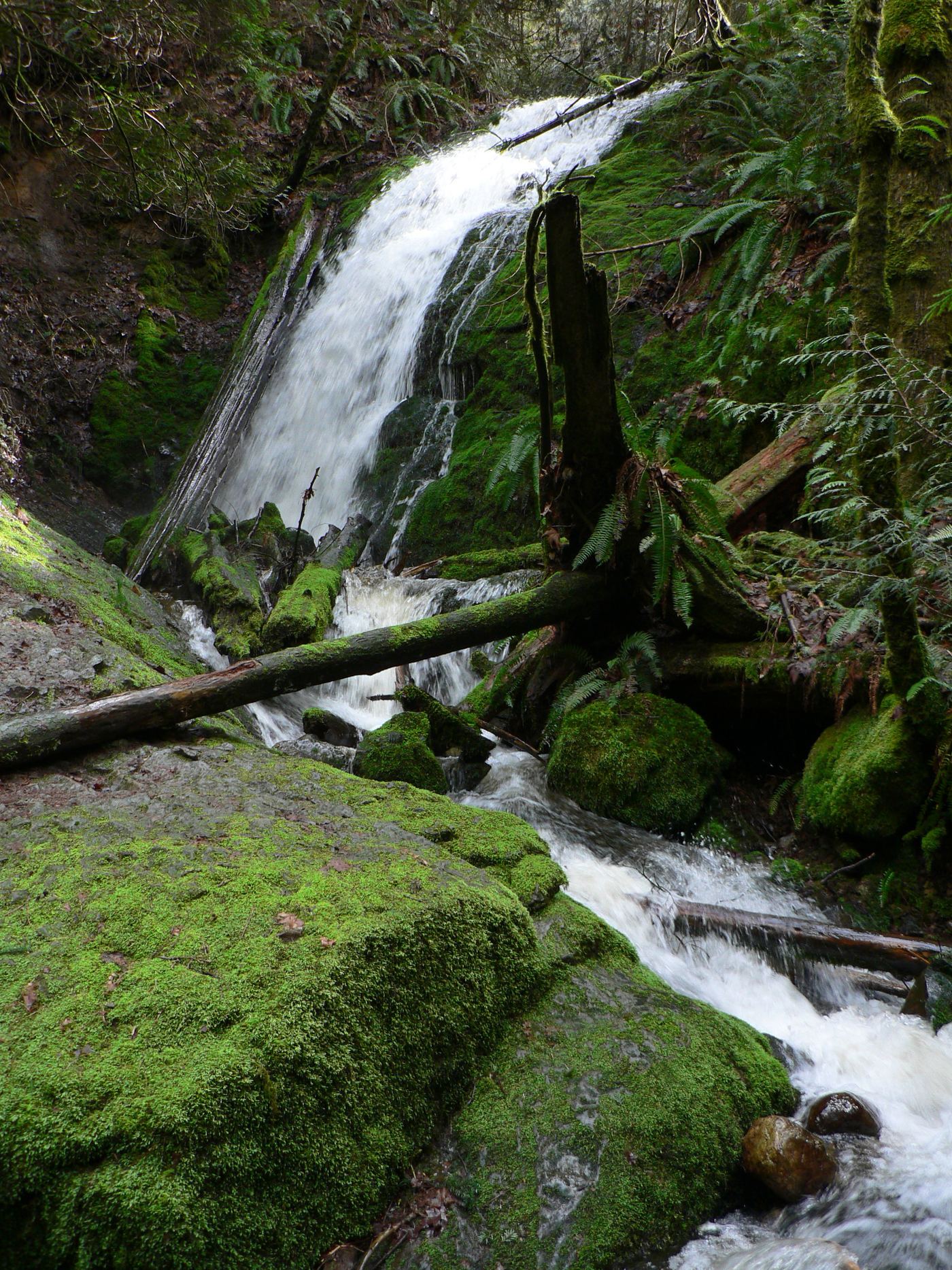
Waterfalls near Shoreline, WA
21 named waterfalls within 30 miles of Shoreline, closest first. Distances are straight-line from the town center.
Visits with route details
Read the walking route, starting point and current access notes.
- WaterwallPartial guide: garden water feature matched to this listing by description and positionKing County, WA
- North Fork FallsShort park trail from the Red Town TrailheadKing County, WA
- McCauley FallsDistant roadside view only; the falls are on private land and a closer visit needs the owners' permissionKing County, WA
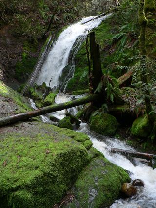 Coal Creek FallsCounty park trail route and trailhead documentedKing County, WA
- Doughty FallsPartial guide: park trail route assembled from trip reports; no distance to this fallsKing County, WA
- Ludlow FallsPartial guide: short interpretive loop; land ownership and parking rules not statedJefferson County, WA
- Cherry Creek FallsPartial guide: first half mile crosses private land under a homeowner courtesy easement82 ft (25 m) · King County, WA
- Dickerson FallsPartial guide: private tree farm open to visitors by owner permissionKitsap County, WA
- Upper Cherry Creek FallsGated forest road walk on state land; one source, road junctions not confirmed26 ft (8 m) · King County, WA
- Fifteenmile WaterfallShort creek trail; no nearby legal parking; exact falls not locatedKing County, WA
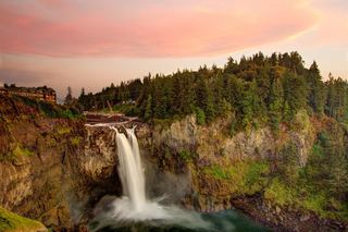 Snoqualmie FallsResearched visit notes268 ft · King County, WA
- Explorer FallsUnmaintained side paths and creek crossings; Discover Pass50 ft (15.2 m) · Snohomish County, WA
- Marsh Creek FallsRoad walk on PUD land to a view across the canyon; current visitor rules not confirmed89 ft (27 m) · Snohomish County, WA
Closest with a photo
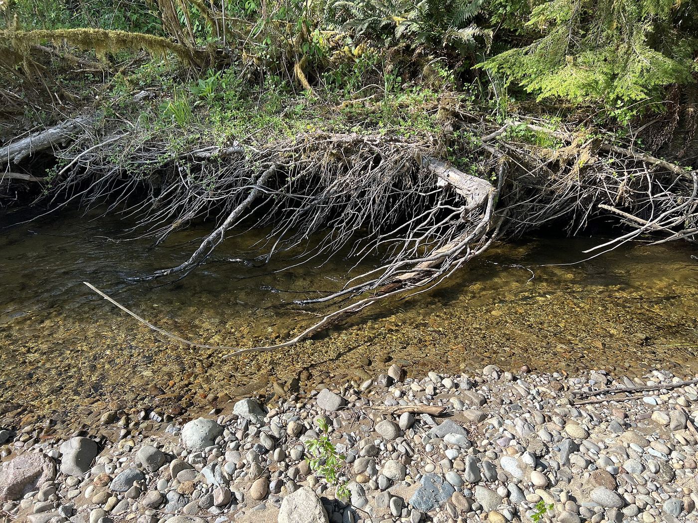
All 21 waterfalls
- WaterwallPartial guide: garden water feature matched to this listing by description and positionKing County, WA13 miSE
- North Fork FallsShort park trail from the Red Town TrailheadKing County, WA18 miSE
- McCauley FallsDistant roadside view only; the falls are on private land and a closer visit needs the owners' permissionKing County, WA18 miE
- Far Country FallsKing County, WA19 miSE
- Coal Creek FallsCounty park trail route and trailhead documentedKing County, WA19 miSE
- Doughty FallsPartial guide: park trail route assembled from trip reports; no distance to this fallsKing County, WA20 miSE
- Ludlow FallsPartial guide: short interpretive loop; land ownership and parking rules not statedJefferson County, WA20 miNW
- Cherry Creek FallsPartial guide: first half mile crosses private land under a homeowner courtesy easement82 ft (25 m) · King County, WA22 miE
- Dickerson FallsPartial guide: private tree farm open to visitors by owner permissionKitsap County, WA22 miSW
- Sadie Falls33 ft (10 m) · King County, WA23 miE
- Upper Cherry Creek FallsGated forest road walk on state land; one source, road junctions not confirmed26 ft (8 m) · King County, WA24 miE
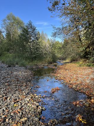 Youngs Creek Falls26 ft (8 m) · Snohomish County, WA24 miE
 Marckworth FallsSnohomish County, WA24 miE
- Ozimandias Falls33 ft (10 m) · Snohomish County, WA24 miE
- McCoy Creek Falls58 ft (17.6 m) · Snohomish County, WA25 miE
- Fifteenmile WaterfallShort creek trail; no nearby legal parking; exact falls not locatedKing County, WA25 miSE
- Small WaterfallKing County, WA25 miE
- Snoqualmie FallsResearched visit notes268 ft · King County, WA28 miSE
- Explorer FallsUnmaintained side paths and creek crossings; Discover Pass50 ft (15.2 m) · Snohomish County, WA28 miNE
- Rocky Brook Falls164 ft (50 m) · Jefferson County, WA28 miW
- Marsh Creek FallsRoad walk on PUD land to a view across the canyon; current visitor rules not confirmed89 ft (27 m) · Snohomish County, WA28 miNE