Sweet Creek Falls
Pend Oreille County, Washington
Your visit at a glance
- Waterfall height
- Not recorded
- Location
- Pend Oreille County, Washington
- Access status
- Short trails from a highway rest area to the base and an observation area
- The walk
- Short trails from the rest area parking lot; no distance is given
- Ground & access
- Packed gravel and paved paths to the base and the observation area; upper paths are steep and poorly maintained.
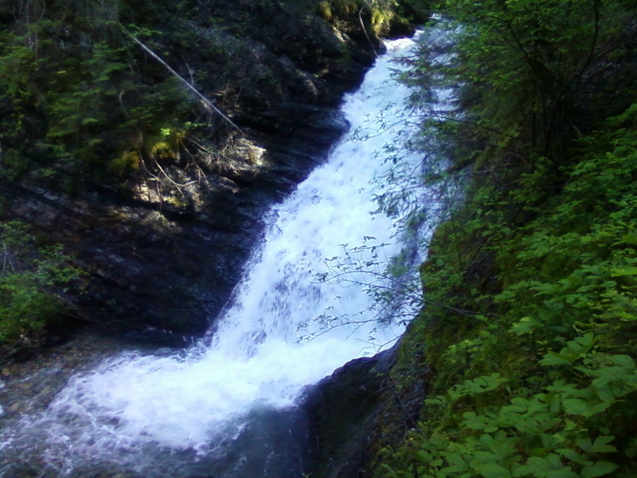
Sweet Creek Falls drops about 65 feet in three steps on Sweet Creek beside SR 31 between Ione and Metaline in Pend Oreille County. WTA describes the site as a small county park at the Sweet Creek rest area with two trailheads. From the south end of the parking lot, the lower trail crosses a footbridge, turns right and leads downhill on packed gravel to a clear pool at the base of the falls. From the north end, a paved then gravel trail leads to a fork: the left fork goes to a well-built observation area with views of the upper and lower falls, and the right fork climbs steeply on a poorly maintained path past the upper falls. Beyond the observation area, the path along a set of railings is not well maintained and suits only sure-footed walkers. Return the same way.
Plan your visit
Sweet Creek rest area on SR 31 north of Ione, the lower trail from the south end of the parking lot to the base of the falls, or the trail from the north end to the observation area
WTA describes short trails from the rest area parking lot to the base of the falls and to an observation area, without giving distances.
Packed gravel and paved paths to the base and the observation area; upper paths are steep and poorly maintained.
Where to start
Sweet Creek rest area on the west side of SR 31, 5.5 miles north of Ione, with an accessible toilet and picnic tables.
Timing & water
No seasonal closure is mentioned.
Before you go
WTA lists no parking pass or entry fee.
Visitor informationVisit sources
- Washington Trails Association: Sweet Creek Falls Interpretive Trail
- Washington Trails Association: Sweet Creek Falls Interpretive Trail
- Washington Trails Association: Sweet Creek Falls Interpretive Trail
- Washington Trails Association: Sweet Creek Falls Interpretive Trail
- Washington Trails Association: Sweet Creek Falls Interpretive Trail
- Washington Trails Association: Sweet Creek Falls Interpretive Trail
- Washington Trails Association: Sweet Creek Falls Interpretive Trail
- Northwest Waterfall Survey: Sweet Creek Falls
More waterfalls nearby
Within 40 straight-line miles. Road and trail distances will differ.
- Elk Creek FallsResearched route and starting areaPend Oreille County, WA5.6 miNE
- PeeWee FallsResearched route and starting areaPend Oreille County, WA10 miN
- LaSota FallsPend Oreille County, WA16 miE
- Upper Granite FallsPartial guide: forest loop trail passes an upper falls; exact match to this listing not confirmedPend Oreille County, WA16 miE
- Lower Granite FallsShort trail to a viewpoint at the base of the fallsPend Oreille County, WA16 miE
- Marble Creek FallsStevens County, WA19 miSW
- Lower Sheep Creek FallsStevens County, WA20 miNW
- Upper Sheep Creek FallsStevens County, WA20 miNW
- American FallsOfficial trail to the falls; remote gravel road; steep section near fallsBoundary County, ID24 miNE