Labyrinth Falls
Klickitat County, Washington
Your visit at a glance
- Waterfall height
- Not recorded
- Location
- Klickitat County, Washington
- Access status
- National forest trail with a side trail to the falls
- The walk
- No separate distance to the falls; the full Labyrinth hike is 3.6 miles round trip
- Ground & access
- Rocky trail through basalt outcrops with a steady climb. Poison oak is common; ticks and rattlesnakes occur. A wildfire burned over the whole route; Oregon Hikers says the trails are open.
Labyrinth Falls is a small, officially unnamed waterfall on Labyrinth Creek just east of the Coyote Wall area, in the Washington side of the Columbia River Gorge (Gifford Pinchot National Forest). From the parking area, walk west on the abandoned section of old Highway 8, past Lower Labyrinth Falls on the road cut, to the Labyrinth Trail junction. Climb the Labyrinth Trail #4423, keep right at a junction, drop into a hollow and follow Labyrinth Creek upstream past Labyrinth Cave. A side trail gives a better view of the falls; two switchbacks higher there is a view of the upper tier. Return the same way, or continue to the Rowland Basin Viewpoint. Stay on the designated trails.
Plan your visit
Labyrinth Trailhead at Highway 14 and Old Highway 8, west on the abandoned section of Old Highway 8, then up the Labyrinth Trail #4423 to the side trail for Labyrinth Falls
Oregon Hikers gives 3.6 miles round trip with 915 feet of gain for the hike to the Rowland Basin Viewpoint, which continues past Labyrinth Falls. It gives no separate distance to the falls.
Rocky trail through basalt outcrops with a steady climb. Poison oak is common; ticks and rattlesnakes occur. A wildfire burned over the whole route; Oregon Hikers says the trails are open.
Where to start
Gravel parking area on the left at the junction of Highway 14 and Old Highway 8, 5.9 miles east of where the Hood River Bridge road meets Highway 14.
Timing & water
Open all year. Dogs must be on leash from December 1 to June 30.
Before you go
Oregon Hikers lists a Northwest Forest Pass for parking. The Hood River Bridge charges a toll each way.
Visitor informationVisit sources
More waterfalls nearby
Within 40 straight-line miles. Road and trail distances will differ.
- Lower Labyrinth FallsShort walk on an abandoned highway from a forest trailhead; Northwest Forest Pass listedKlickitat County, WA0.2 miSE
- Little Maui FallsPartial guide: national scenic area trail loop; the exact falls location is not describedKlickitat County, WA0.2 miSW
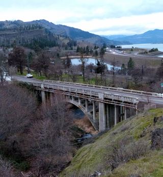 Mosier Creek FallsSigned trail to a falls overlook documentedWasco County, OR1.6 miS
- Wah Gwin Gwin FallsPartial guide: private hotel grounds; visitor access and parking rules not confirmed by the hotelHood River County, OR7.9 miW
- Husum FallsPedestrian approach unconfirmedKlickitat County, WA8.0 miNW
- Buck Creek FallsState land trail route and trailhead documentedKlickitat County, WA11 miNW
- Spirit FallsSkamania County, WA12 miW
- BZ FallsShort river trail from the BZ Corner launch to a viewing deckKlickitat County, WA12 miNW
- Dog Creek FallsRoute and parking documented; confirm current conditions.Skamania County, WA14 miW