Mosier Creek Falls
Wasco County, Oregon
Your visit at a glance
- Waterfall height
- Not recorded
- Location
- Wasco County, Oregon
- Access status
- Signed trail to a falls overlook documented
- The walk
- About one-quarter mile up the hill from the bridge
- Ground & access
- Grassy hillside trail with some climbing. Rattlesnakes, ticks and poison oak are present. Stay on the trail and heed private property signs.
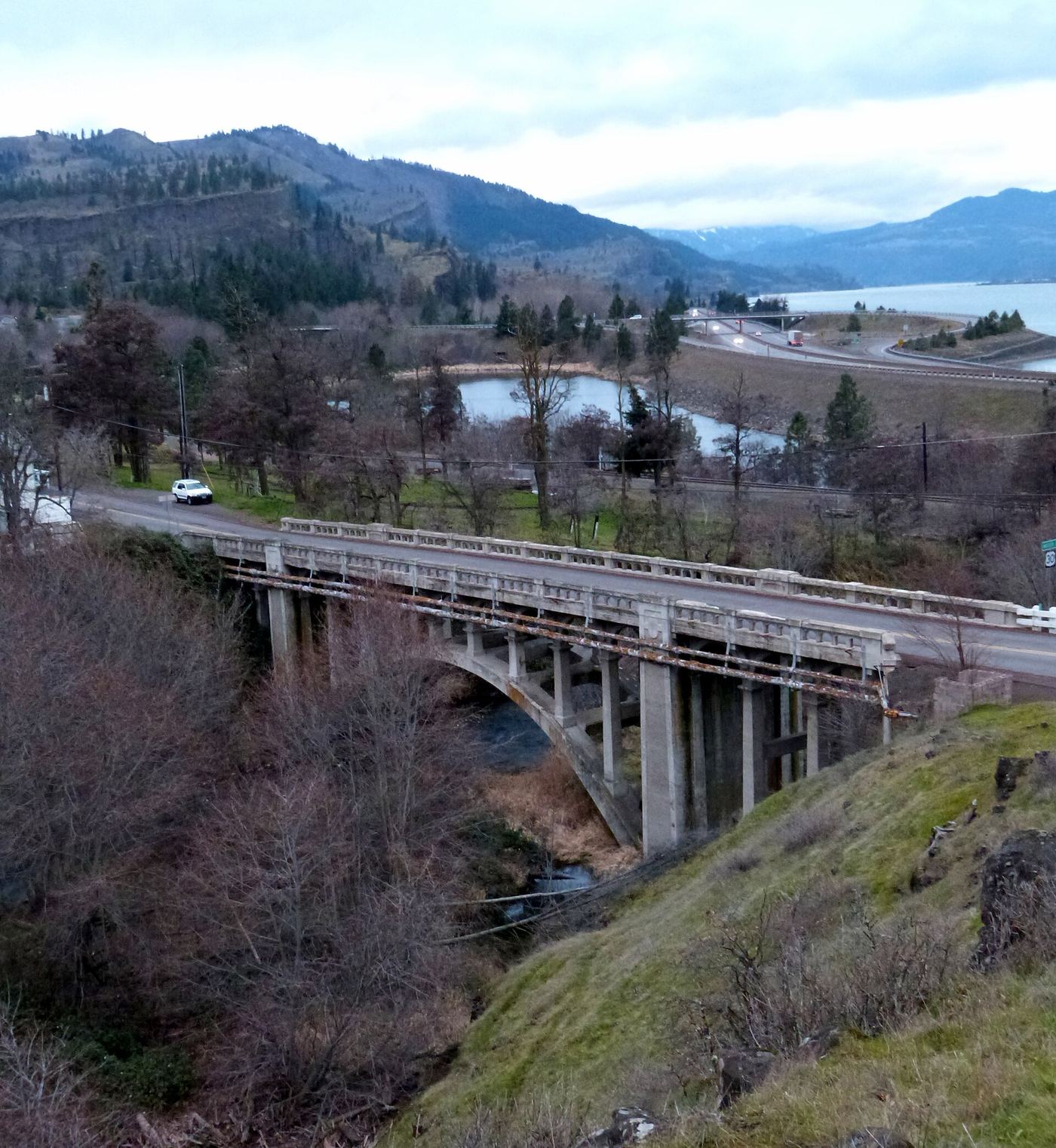
Mosier Creek Falls is a two-tiered falls of about 100 feet on Mosier Creek. From the parking area, walk east on Highway 30 across the Mosier Creek Bridge. Just past the bridge, take the trail on the right behind a bench signed for Mosier Pioneer Cemetery. Climb past the cemetery to an overlook with a plaque and a full view of the falls. Return the same way.
Plan your visit
Mosier Trailhead across the Mosier Creek Bridge and up the Mosier Plateau Trail to the falls overlook
The Northwest Waterfall Survey gives about one-quarter mile up the hill from the bridge to fenced viewpoints. Oregon Hikers notes about 1,000 feet of walking from the parking area to the bridge. Its 3.5 mile figure is for the full plateau hike.
Grassy hillside trail with some climbing. Rattlesnakes, ticks and poison oak are present. Stay on the trail and heed private property signs.
Where to start
Parking area by the railroad tracks in Mosier, reached by a gravel road after the Totem Pole Park, 0.3 mile from I-84 Exit 69. Do not park along the highway east of the bridge.
Timing & water
Oregon Hikers lists the hike as open all year. Wildflowers peak in April and May.
Before you go
No fee is mentioned.
Visitor informationVisit sources
More waterfalls nearby
Within 40 straight-line miles. Road and trail distances will differ.
- Little Maui FallsPartial guide: national scenic area trail loop; the exact falls location is not describedKlickitat County, WA1.4 miN
- Lower Labyrinth FallsShort walk on an abandoned highway from a forest trailhead; Northwest Forest Pass listedKlickitat County, WA1.5 miN
- Labyrinth FallsNational forest trail with a side trail to the fallsKlickitat County, WA1.6 miN
- Wah Gwin Gwin FallsPartial guide: private hotel grounds; visitor access and parking rules not confirmed by the hotelHood River County, OR8.1 miW
- Husum FallsPedestrian approach unconfirmedKlickitat County, WA9.3 miNW
- Buck Creek FallsState land trail route and trailhead documentedKlickitat County, WA12 miNW
- Spirit FallsSkamania County, WA12 miW
- Dead Point FallsPark trail and signed spur to a cliff-edge viewpoint75 ft (22.9 m) · Hood River County, OR13 miSW
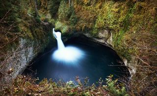 Punchbowl FallsCounty park trail to an overlook documentedHood River County, OR13 miSW