Punchbowl Falls
Hood River County, Oregon
Your visit at a glance
- Waterfall height
- Not recorded
- Location
- Hood River County, Oregon
- Access status
- County park trail to an overlook documented
- The walk
- Short walk to the overlook; distance not stated
- Ground & access
- Forest and oak woodland trail along the rim of a basalt gorge. The overlook is exposed; watch children and dogs. Poison oak is present.
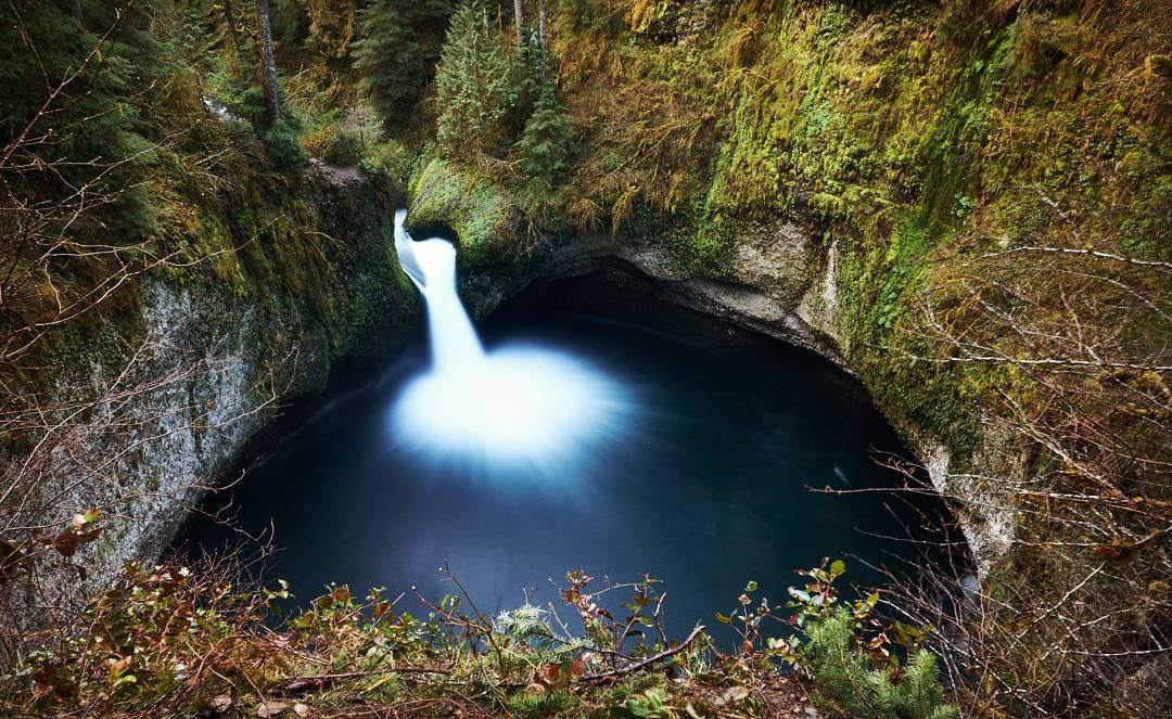
Punchbowl Falls is a short falls on the West Fork Hood River in a basalt amphitheater, in Hood River County's Punchbowl Falls Park. Walk a few yards down the old service road, around a steel gate, and take the signed West Fork Trail on the left. Follow it along the gorge rim, ignoring side paths, to an exposed overlook of the falls. Dead Point Falls is visible just downstream. Return the same way or continue on the loop.
Plan your visit
Punchbowl Falls Park trailhead via the West Fork Trail to the Punchbowl Falls overlook
Oregon Hikers gives no separate distance to the overlook. Its 2.1 mile figure is for the full outing to the river confluence and back by the Dogwood Trail.
Forest and oak woodland trail along the rim of a basalt gorge. The overlook is exposed; watch children and dogs. Poison oak is present.
Where to start
Large pullout on the right side of Punchbowl Road just before the bridge over the West Fork Hood River, about 0.9 mile past the Green Road junction near Dee.
Timing & water
Oregon Hikers lists the trails as open all year.
Before you go
No fee is mentioned.
Visitor informationVisit sources
More waterfalls nearby
Within 40 straight-line miles. Road and trail distances will differ.
- Dead Point FallsPark trail and signed spur to a cliff-edge viewpoint75 ft (22.9 m) · Hood River County, OR0.0 miN
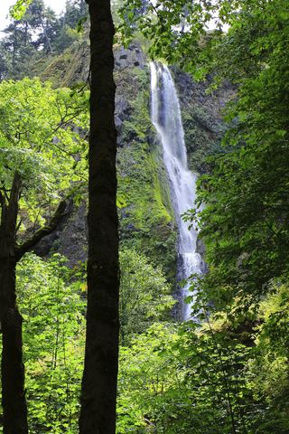 Starvation Creek FallsShort paved walk to a viewpoint documented227 ft (69.2 m) · Hood River County, OR6.4 miNW
- Cabin Creek FallsShort paved walk from Starvation Creek Trailhead220 ft (67 m) · Hood River County, OR6.6 miNW
- Lancaster FallsTrail to the lower tier of the falls231 ft (70.4 m) · Hood River County, OR6.6 miNW
- Hole-in-the-Wall FallsPaved trail from Starvation Creek Trailhead to a picnic-circle view96 ft (29.2 m) · Hood River County, OR6.6 miNW
- Lower Lancaster FallsState trail and Mount Defiance Trail to the lower tier20 ft (6 m) · Hood River County, OR6.7 miNW
- Lindsey Creek Falls53 ft (16.2 m) · Hood River County, OR7.0 miNW
- Harrison FallsHood River County, OR7.0 miNW
- Summit Creek Falls30 ft (9.1 m) · Hood River County, OR7.3 miNW