Waterfalls near North Bend, WA
81 named waterfalls within 30 miles of North Bend, closest first. Distances are straight-line from the town center.
Visits with route details
Read the walking route, starting point and current access notes.
- Teneriffe FallsSigned DNR trail with steep switchbacks to the falls; Discover Pass requiredKing County, WA
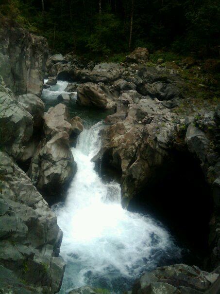
 Fantastic FallsClosed to all public access at landowners' request33 ft (10 m) · King County, WA
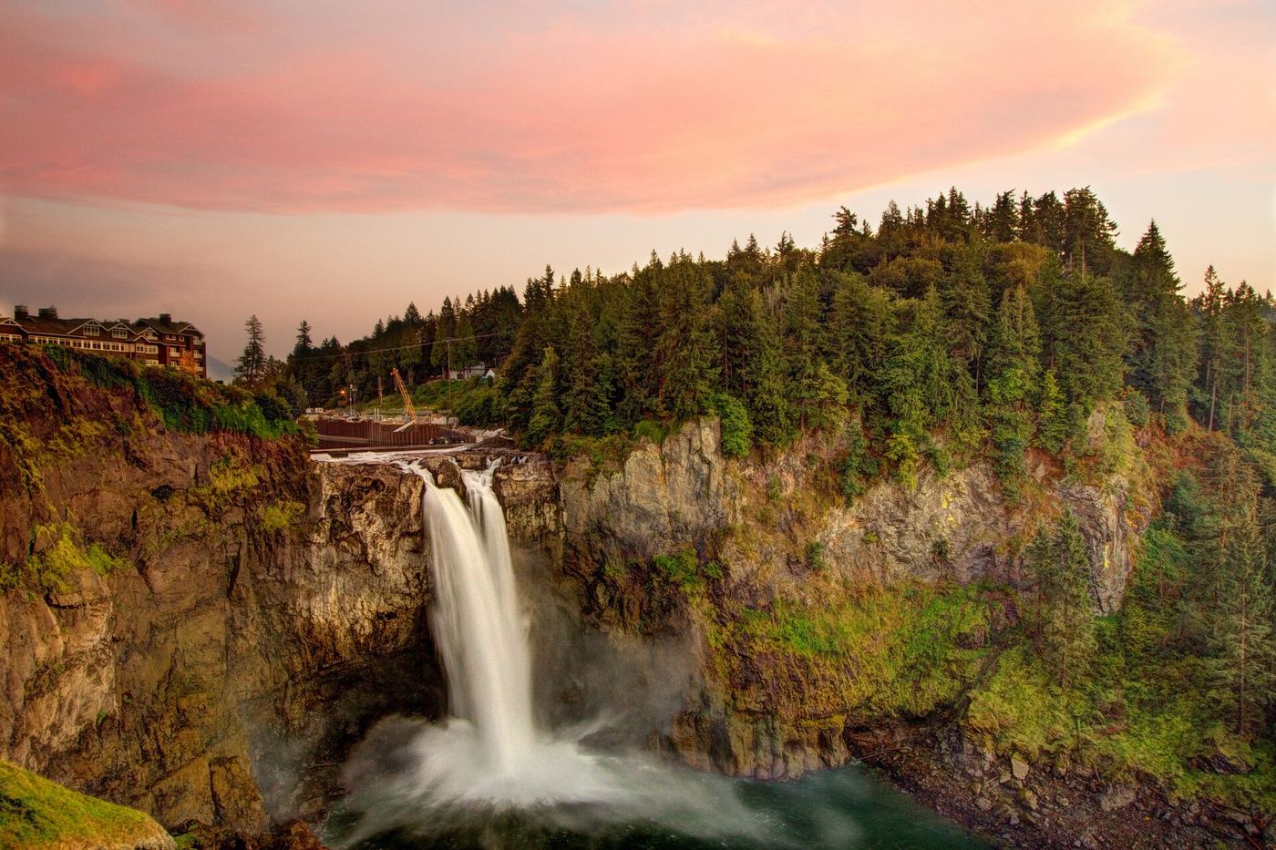
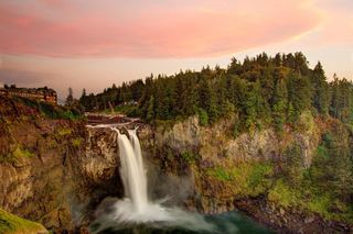 Snoqualmie FallsResearched visit notes268 ft · King County, WA
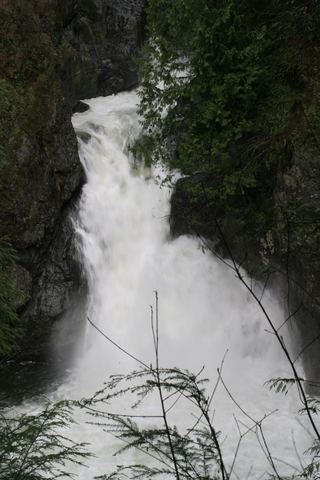 Twin Falls (Upper)State park trail to the bridge and upper overlookKing County, WA
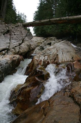 Weeks FallsResearched walking route60 ft (18.3 m) · King County, WA
- Switchback FallsPartial: walk on an active logging road with debris-flow damage near the fallsKing County, WA
- Gossamer FallsLogging road walk on DNR land, then an off-trail scramble; road damaged at the streamKing County, WA
- Fifteenmile WaterfallShort creek trail; no nearby legal parking; exact falls not locatedKing County, WA
- Doughty FallsPartial guide: park trail route assembled from trip reports; no distance to this fallsKing County, WA
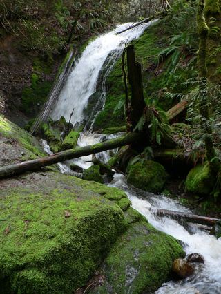 Coal Creek FallsCounty park trail route and trailhead documentedKing County, WA
- Dingford Creek FallsPartial: short viewpoint near the trailhead from one visitor report; rough access roadKing County, WA
- Snowshoe FallsNational forest wilderness trail with an unbridged creek ford; partial view of the falls150 ft (45.7 m) · King County, WA
- Keekwulee FallsNational forest wilderness trail with an unbridged creek ford171 ft (52.1 m) · King County, WA
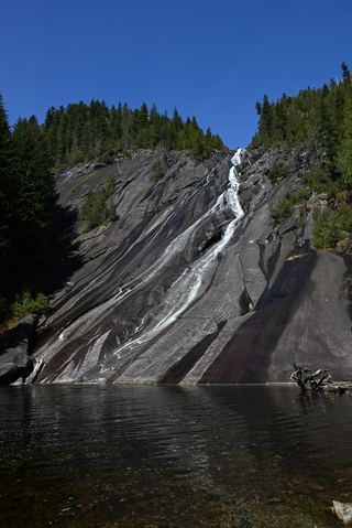 Otter FallsRoute documented; landslide-damaged creek crossing reported by WTA.1,200 ft (365.8 m) · King County, WA
- Pumpkinseed Creek FallsSteep national forest trail; falls about a mile from the trailheadKing County, WA
- North Fork FallsShort park trail from the Red Town TrailheadKing County, WA
- Big Creek FallsSource-reviewed route and parking236 ft (72 m) · King County, WA
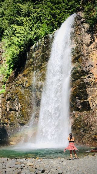 Franklin FallsResearched visit notes135 ft (41 m) · King County, WA
- Fall into the WallGuide: roadside view into the gorgeKing County, WA
- Upper Cherry Creek FallsGated forest road walk on state land; one source, road junctions not confirmed26 ft (8 m) · King County, WA
- Cherry Creek FallsPartial guide: first half mile crosses private land under a homeowner courtesy easement82 ft (25 m) · King County, WA
- WaterwallPartial guide: garden water feature matched to this listing by description and positionKing County, WA
- Florence FallsIdentity context documented; waterfall route and parking unresolved141 ft (43 m) · King County, WA
- McCauley FallsDistant roadside view only; the falls are on private land and a closer visit needs the owners' permissionKing County, WA
- Immigration FallsCurrent approach and precise location unconfirmed20 ft (6.1 m) · King County, WA
- Copper Lake FallsResearched visit notes131 ft (40 m) · King County, WA
- Big Heart FallsWaterfall viewing approach unconfirmed1,262 ft (384.7 m) · King County, WA
- Malachite FallsResearched visit notes600 ft (182.9 m) · King County, WA
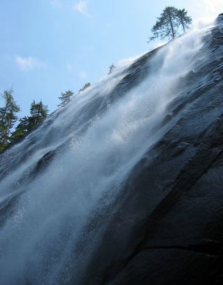 Bridal Veil Falls-Lower East CascadeEstablished trail to Bridal Veil Falls; this cascade's viewpoint not confirmedSnohomish County, WA
- Angeline FallsDistant viewing route identified; precise sighting point unverified424 ft (129.2 m) · King County, WA
- Upper Foss River FallsApproach and parking unconfirmed337 ft (102.7 m) · King County, WA
- Upper Copper FallsTrail connection supported; precise viewing point and distance unconfirmed39 ft (12 m) · King County, WA
- Lower Foss River FallsWaterfall identity documented; visitor approach unresolved251 ft (76.5 m) · King County, WA
- Shoestring FallsResearched visit notes984 ft (300 m) · King County, WA
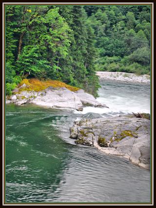 Sunset FallsPublic access closed; reopening not confirmed104 ft (31.7 m) · Snohomish County, WA
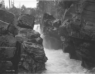 Canyon FallsClosed to general public access: private residential development42 ft (12.8 m) · Snohomish County, WA
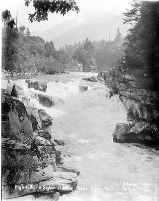 Eagle FallsGuide: roadside view from a signed turnoutSnohomish County, WA
- Small FallsShort state park trail to an interpretive spur; Discover Pass requiredSnohomish County, WA
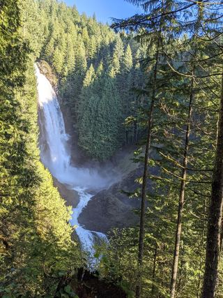 Lower Wallace FallsState park trail to the lower falls viewpointSnohomish County, WA
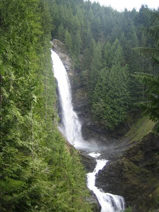 Middle Wallace FallsState park trail to the Middle Falls overlook; Discover Pass required367 ft (111.9 m) · Snohomish County, WA
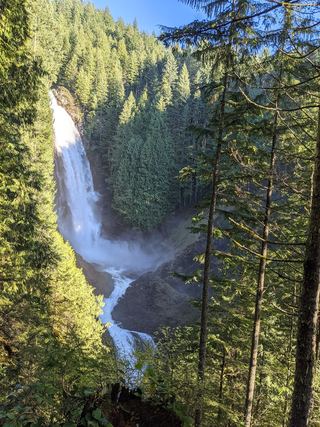 Upper Wallace FallsPublished state park trail to the Upper Falls viewpoint; Discover Pass required240 ft (73.2 m) · Snohomish County, WA
Closest with a photo
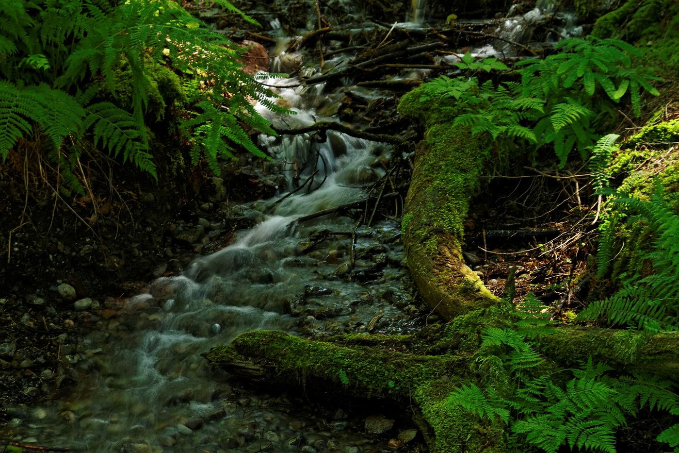
All 81 waterfalls
- Teneriffe FallsSigned DNR trail with steep switchbacks to the falls; Discover Pass requiredKing County, WA3.7 miE
- Fantastic FallsClosed to all public access at landowners' request33 ft (10 m) · King County, WA4.0 miNE
- Snoqualmie FallsResearched visit notes268 ft · King County, WA4.0 miNW
 Twin Falls (Lower)230 ft (70.1 m) · King County, WA5.4 miSE
- Twin Falls (Upper)State park trail to the bridge and upper overlookKing County, WA5.5 miSE
- Big Blowout FallsKing County, WA7.8 miE
- Lower Big Blowout FallsKing County, WA7.8 miE
- Vortex FallsKing County, WA7.8 miE
- Weeks FallsResearched walking route60 ft (18.3 m) · King County, WA7.8 miSE
- Switchback FallsPartial: walk on an active logging road with debris-flow damage near the fallsKing County, WA8.1 miE
- Gossamer FallsLogging road walk on DNR land, then an off-trail scramble; road damaged at the streamKing County, WA8.1 miE
- Fifteenmile WaterfallShort creek trail; no nearby legal parking; exact falls not locatedKing County, WA9.4 miW
- Raven FallsKing County, WA9.8 miE
- Katrine Creek FallsKing County, WA13 miNE
- Nine Hour FallsKing County, WA13 miE
- Little Kid FallsKing County, WA14 miNE
- Tin Cup Joe Falls463 ft (141.1 m) · King County, WA14 miE
- Lower Tin Cup Joe FallsKing County, WA14 miE
- Doughty FallsPartial guide: park trail route assembled from trip reports; no distance to this fallsKing County, WA15 miW
- Coal Creek FallsCounty park trail route and trailhead documentedKing County, WA15 miW
- Dingford Creek FallsPartial: short viewpoint near the trailhead from one visitor report; rough access roadKing County, WA16 miE
- Sadie Falls33 ft (10 m) · King County, WA16 miN
- Far Country FallsKing County, WA16 miW
- Snowshoe FallsNational forest wilderness trail with an unbridged creek ford; partial view of the falls150 ft (45.7 m) · King County, WA16 miE
- Keekwulee FallsNational forest wilderness trail with an unbridged creek ford171 ft (52.1 m) · King County, WA16 miE
- Otter FallsRoute documented; landslide-damaged creek crossing reported by WTA.1,200 ft (365.8 m) · King County, WA16 miNE
- Pumpkinseed Creek FallsSteep national forest trail; falls about a mile from the trailheadKing County, WA16 miE
- North Fork FallsShort park trail from the Red Town TrailheadKing County, WA16 miW
- Big Creek FallsSource-reviewed route and parking236 ft (72 m) · King County, WA17 miE
- Denny Camp FallsKing County, WA17 miE
- Franklin FallsResearched visit notes135 ft (41 m) · King County, WA17 miE
- Fall into the WallGuide: roadside view into the gorgeKing County, WA18 miE
- Kanim Falls280 ft (85.3 m) · King County, WA18 miNE
- Milwawkie FallsKing County, WA19 miNE
- Upper Cherry Creek FallsGated forest road walk on state land; one source, road junctions not confirmed26 ft (8 m) · King County, WA19 miN
- Cherry Creek FallsPartial guide: first half mile crosses private land under a homeowner courtesy easement82 ft (25 m) · King County, WA19 miN
- Small WaterfallKing County, WA19 miN
- Goat Creek FallsKing County, WA20 miNE
- WaterwallPartial guide: garden water feature matched to this listing by description and positionKing County, WA20 miNW
- Ozimandias Falls33 ft (10 m) · Snohomish County, WA20 miN
- Florence FallsIdentity context documented; waterfall route and parking unresolved141 ft (43 m) · King County, WA20 miE
- McCauley FallsDistant roadside view only; the falls are on private land and a closer visit needs the owners' permissionKing County, WA20 miNW
- Nellie Falls150 ft (45.7 m) · King County, WA20 miE
- Borderline Falls20 ft (6.1 m) · King County, WA21 miNE
- Rampart Falls644 ft (196.3 m) · Kittitas County, WA21 miE
Show the other 36 waterfalls, 21 mi to 29 mi away
- Immigration FallsCurrent approach and precise location unconfirmed20 ft (6.1 m) · King County, WA21 miNE
 Marckworth FallsSnohomish County, WA22 miN
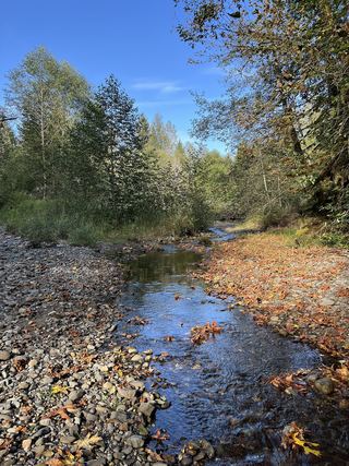 Youngs Creek Falls26 ft (8 m) · Snohomish County, WA22 miN
- Laura FallsKittitas County, WA22 miE
- Rocky Run FallsKittitas County, WA22 miE
- Iceberg Lake FallsKing County, WA22 miE
- Logjam FallsSnohomish County, WA22 miNE
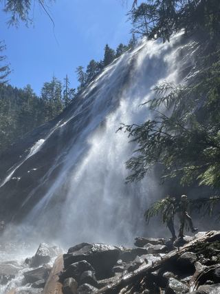 Bridal Veil Falls-Upper CascadeSnohomish County, WA22 miNE
- Copper Lake FallsResearched visit notes131 ft (40 m) · King County, WA23 miE
- Big Heart FallsWaterfall viewing approach unconfirmed1,262 ft (384.7 m) · King County, WA23 miE
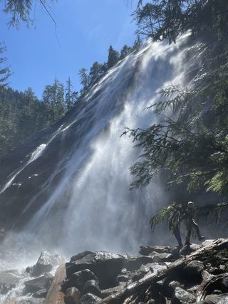 Bridal Veil Falls-Mine Cascade1,291 ft (393.5 m) · Snohomish County, WA23 miNE
- Malachite FallsResearched visit notes600 ft (182.9 m) · King County, WA23 miE
- Engle Falls489 ft (149 m) · King County, WA23 miNE
- Bridal Veil Falls-Lower East CascadeEstablished trail to Bridal Veil Falls; this cascade's viewpoint not confirmedSnohomish County, WA23 miNE
- Angeline FallsDistant viewing route identified; precise sighting point unverified424 ft (129.2 m) · King County, WA23 miE
- Upper Foss River FallsApproach and parking unconfirmed337 ft (102.7 m) · King County, WA23 miE
- Upper Copper FallsTrail connection supported; precise viewing point and distance unconfirmed39 ft (12 m) · King County, WA23 miE
- Lower Foss River FallsWaterfall identity documented; visitor approach unresolved251 ft (76.5 m) · King County, WA23 miE
- Middle Copper Falls49 ft (15 m) · King County, WA23 miE
- Lower Copper Falls46 ft (14 m) · King County, WA23 miE
- Whinnimic Falls350 ft (106.7 m) · Kittitas County, WA24 miE
- Shoestring FallsResearched visit notes984 ft (300 m) · King County, WA24 miNE
- Boulder DropSnohomish County, WA24 miN
- Sunray Falls394 ft (120 m) · King County, WA24 miNE
- Sunset FallsPublic access closed; reopening not confirmed104 ft (31.7 m) · Snohomish County, WA24 miNE
- McCoy Creek Falls58 ft (17.6 m) · Snohomish County, WA24 miN
- Canyon FallsClosed to general public access: private residential development42 ft (12.8 m) · Snohomish County, WA24 miNE
- Eagle FallsGuide: roadside view from a signed turnoutSnohomish County, WA24 miNE
- Small FallsShort state park trail to an interpretive spur; Discover Pass requiredSnohomish County, WA26 miN
- Snowshed Falls167 ft (51 m) · Kittitas County, WA26 miSE
- Olney Falls59 ft (18 m) · Snohomish County, WA27 miN
- Lower Wallace FallsState park trail to the lower falls viewpointSnohomish County, WA27 miN
- Middle Wallace FallsState park trail to the Middle Falls overlook; Discover Pass required367 ft (111.9 m) · Snohomish County, WA27 miN
- Upper Wallace FallsPublished state park trail to the Upper Falls viewpoint; Discover Pass required240 ft (73.2 m) · Snohomish County, WA27 miN
- Upper Olney Falls26 ft (8 m) · Snohomish County, WA27 miN
- Pea Soup FallsKing County, WA29 miE