Palouse Falls
Whitman County, Washington
Your visit at a glance
- Waterfall height
- 197 ft (60 m)
- Location
- Whitman County, Washington
- Access status
- Source-reviewed route and parking
- The walk
- Short park paths; no distance asserted
- Ground & access
- Paved interpretive route and a separate stepped viewpoint approach; stay behind designated boundaries.
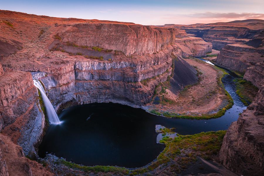
From the main day-use parking, use the steps to the lower viewpoint or the paved interpretive path. The interpretive path and secondary gravel parking also connect to Fryxell Overlook. Stay within designated viewing areas: all canyon and waterfall-base trails are permanently closed.
Plan your visit
Designated Palouse Falls viewpoints
Only the stated source distance is supported; mapped proximity is not a walking distance.
Paved interpretive route and a separate stepped viewpoint approach; stay behind designated boundaries.
Where to start
Use the state park’s designated lots on Palouse Falls Road near LaCrosse. Spaces are extremely limited, particularly on weekends and holidays. Trailers and RVs are prohibited.
Timing & water
Summer hours 6:30 a.m. to dusk; winter 8 a.m. to dusk. October 6, 2026 notice says no potable water during maintenance until further notice; bring drinking water.
Before you go
Discover Pass: $10 day or $45 annual, as currently listed by State Parks.
Visitor informationMore waterfalls nearby
Within 40 straight-line miles. Road and trail distances will differ.