Willamette Falls
Clackamas County, Oregon
Your visit at a glance
- Waterfall height
- 39 ft (12 m)
- Location
- Clackamas County, Oregon
- Access status
- Public roadside viewpoint with parking documented
- The walk
- Roadside viewpoint; no walk distance stated
- Ground & access
- Paved roadside viewpoint. No trail.
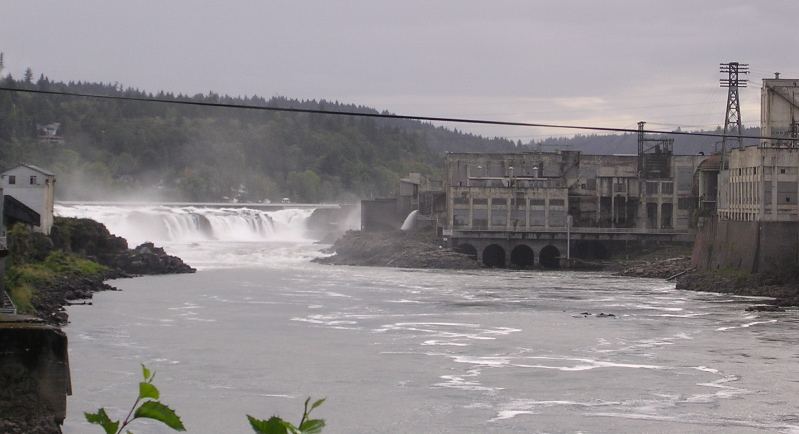
Photo credit
Photo: The original uploader was Cacophony at English Wikipedia., CC BY-SA 3.0, via Wikimedia CommonsWillamette Falls is a horseshoe-shaped falls about 40 feet high and roughly 1,500 feet wide on the Willamette River between Oregon City and West Linn. Industry lines both banks, so the public does not get close access. The signed viewpoint on Highway 99E just south of downtown Oregon City gives the closest public view. A second viewpoint on northbound Interstate 205 near milepost 7.5 looks down from higher up, and the Oregon City Bridge gives distant views.
Plan your visit
Willamette Falls Scenic Viewpoint on Highway 99E (McLoughlin Boulevard), Oregon City
The National Park Service lists the viewpoint with auto parking at 120 McLoughlin Blvd. No walking distance from the parking to the viewing area is published.
Paved roadside viewpoint. No trail.
Where to start
Willamette Falls Scenic Viewpoint, 120 McLoughlin Blvd, Oregon City, OR 97045. The National Park Service lists auto parking at the viewpoint. From Interstate 205, take Exit 8 (West Linn), cross the Oregon City Bridge, and turn right on Highway 99E for 1.2 miles to the signed viewpoint. The Interstate 205 wayside at Exit 7 serves northbound traffic only.
Timing & water
No season limits are mentioned. Sea lions often feed at the base of the falls during salmon runs.
Before you go
No fee is mentioned.
Visitor informationVisit sources
More waterfalls nearby
Within 40 straight-line miles. Road and trail distances will differ.
- Coffee Creek FallsClackamas County, OR0.5 miS
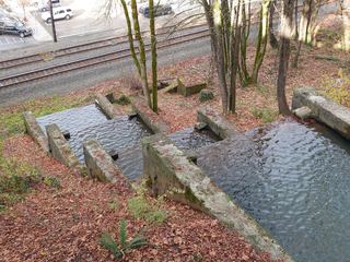 Singer FallsPartial guide: public stair route documented; parking not describedClackamas County, OR0.8 miNE
- Tumble Creek FallsGravel park trail to a footbridge below the fallsClackamas County, OR2.1 miSE
- Hidden FallsPaved park trail to a bridge view documentedClackamas County, OR7.5 miNE
- Knapp FallsMultnomah County, OR8.7 miN
- Jane Martin WaterfallGarden waterfall on paved paths inside a public garden with admissionMultnomah County, OR8.9 miN
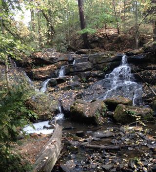 Cedar Mill FallsPartial guide: short boardwalk walk; permission to park in the church lot is not statedWashington County, OR15 miNW
- Pothole FallsCounty park trail to a fenced viewpoint; view partly blocked by foliage20 ft (6 m) · Clark County, WA20 miNE
- Lower FallsCounty park trail from the 3rd Avenue trailhead30 ft (9.1 m) · Clark County, WA20 miNE